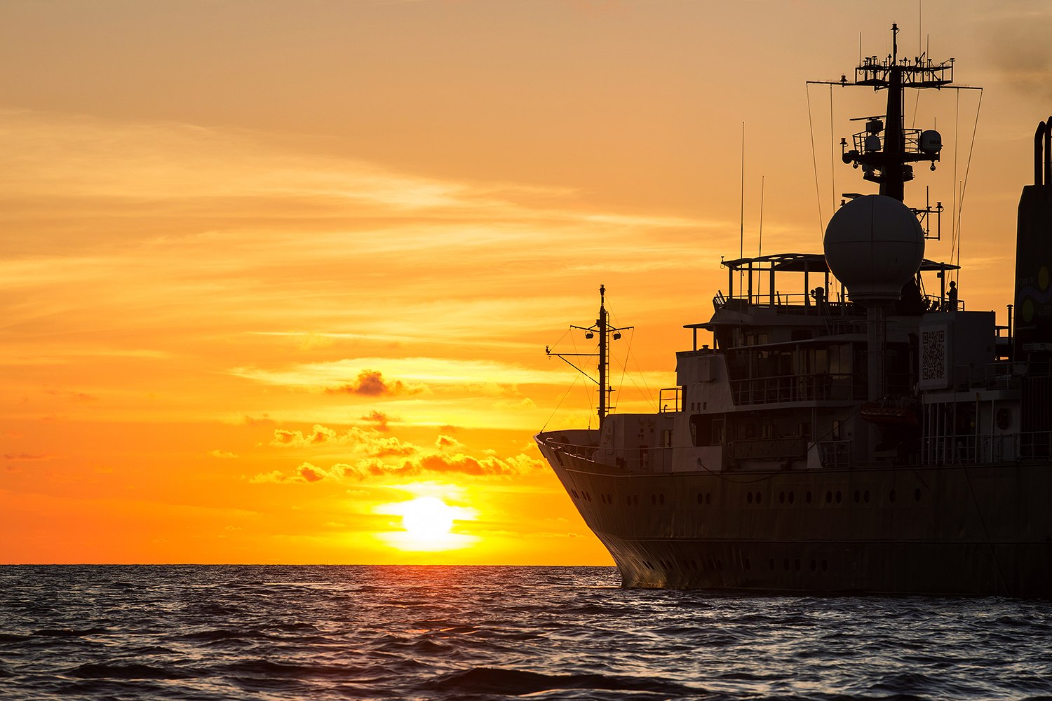

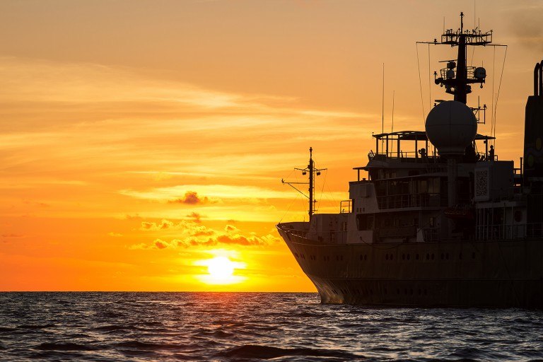
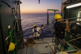
The Coordinated Robotics cruise has now finished, and the science team and crew are currently demobilizing in Broome. It was a great two weeks at Scott Reef in the Timor Sea with multiple robotics platforms operating at the same time. In total, the science team was able to achieve 19 dives with AUV Sirius, totaling 200 hours of bottom time. The team also completed 22 dives with the Lagrangian Float collecting 3,000-4,000 images on each dive. As always, you make refinements when you are out on these cruises. Dr. Stefan Williams accounts, “we explored some new areas. I think having multiple robots operating simultaneously and being able to re-task them on the fly, was a good outcome - certainly something we haven’t done before.”
Images and Maps
In just a short period, the science team was able to collect approximately 400,000 images, about a terabyte of data a day. The imagery was collected from sites previously visited in 2009 and 2011, and will be added to this time series providing valuable long-term monitoring of these areas. Additionally, they were able to use bathymetry maps collected on Falkor to determine what areas were not well explained from the existing data. Using the new high-resolution maps in conjunction with the data, the science team was able to identify sites that were of most interest and target them for surveys with the Autonomous Underwater Vehicles (AUV) on board. The data collected will likely to improve the scientist’s ability to model these unknown areas as well.
Underwater robot navigation
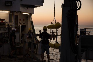
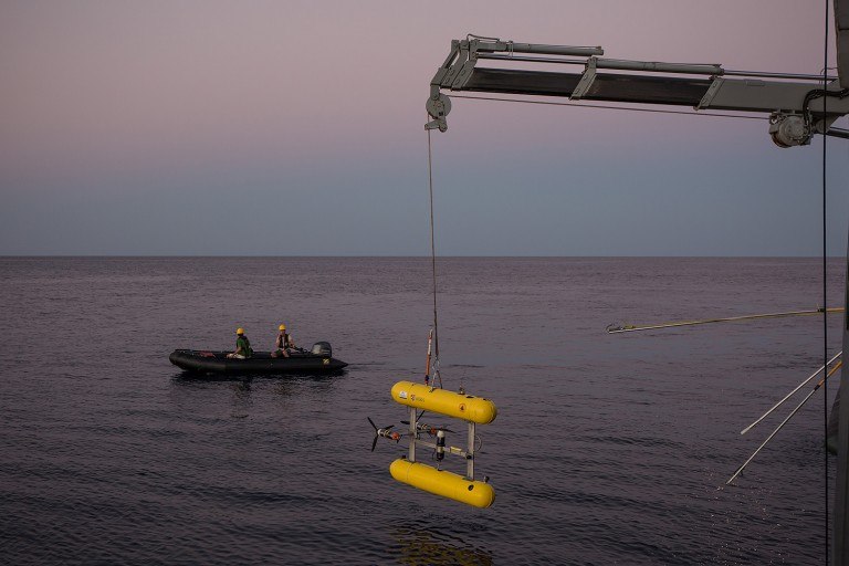
Another important first of this cruise was operating many different vehicles in close proximity to each other at the same time. Having multiple platforms talking and ranging off each other, is an interesting area in robot coordination. The ability to re-task the vehicles dynamically was something the team started doing on this trip. There were a few occasions where the photo float and AUV Sirius were quite close to each other, and the operators were able to get the float up and out of the way. This very close pass is the kind of things people are going to have to deal with when deploying multiple assets that are autonomous. You have to have a good sense of where they are, what they are doing – and be in communication with them.
This trip was different from others as the team had more autonomous robots thrown in the water at the same time. To account for this, they needed to develop a flexible visualization tool for tracking multiple vehicles relative to each other and to the ship, and this cruise provided a great opportunity to do this. Post-doctoral research engineer Ariell Freedman developed a web-based tool that can visually locate the vehicles in real time. This allowed scientists to see what was happening from anywhere on the ship using a computer, TV, or even a smart phone. The way the information displayed evolved throughout the trip, Ariell was able to improve how fresh the data was, so they could really get a sense of where the robots were.
Tagging photos