




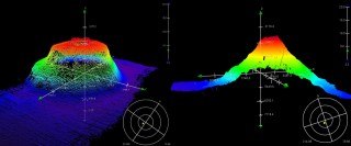
Our fifth track is complete, and we will keep mapping Tamu Massif to fill in as many information gaps as possible.
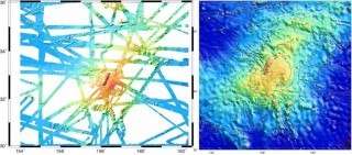
The bathymetric data is the second piece of the puzzle needed to gain insight on the formation of Tamu Massif. These data are significantly increasing the coverage of depth soundings allowing us to create a new topographic map of the volcano. This is especially important since only about 20 percent of the current maps were made with high-resolution depth soundings. The other 80 percent used satellite information to interpret the topography of the ocean floor.
A Quick Review
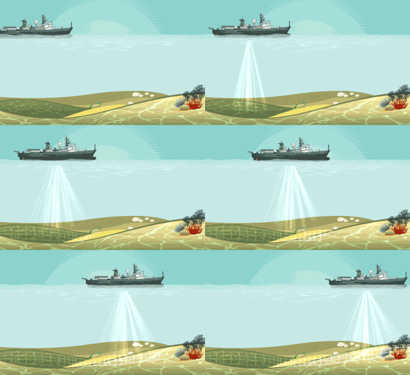
As mentioned in previous blogs
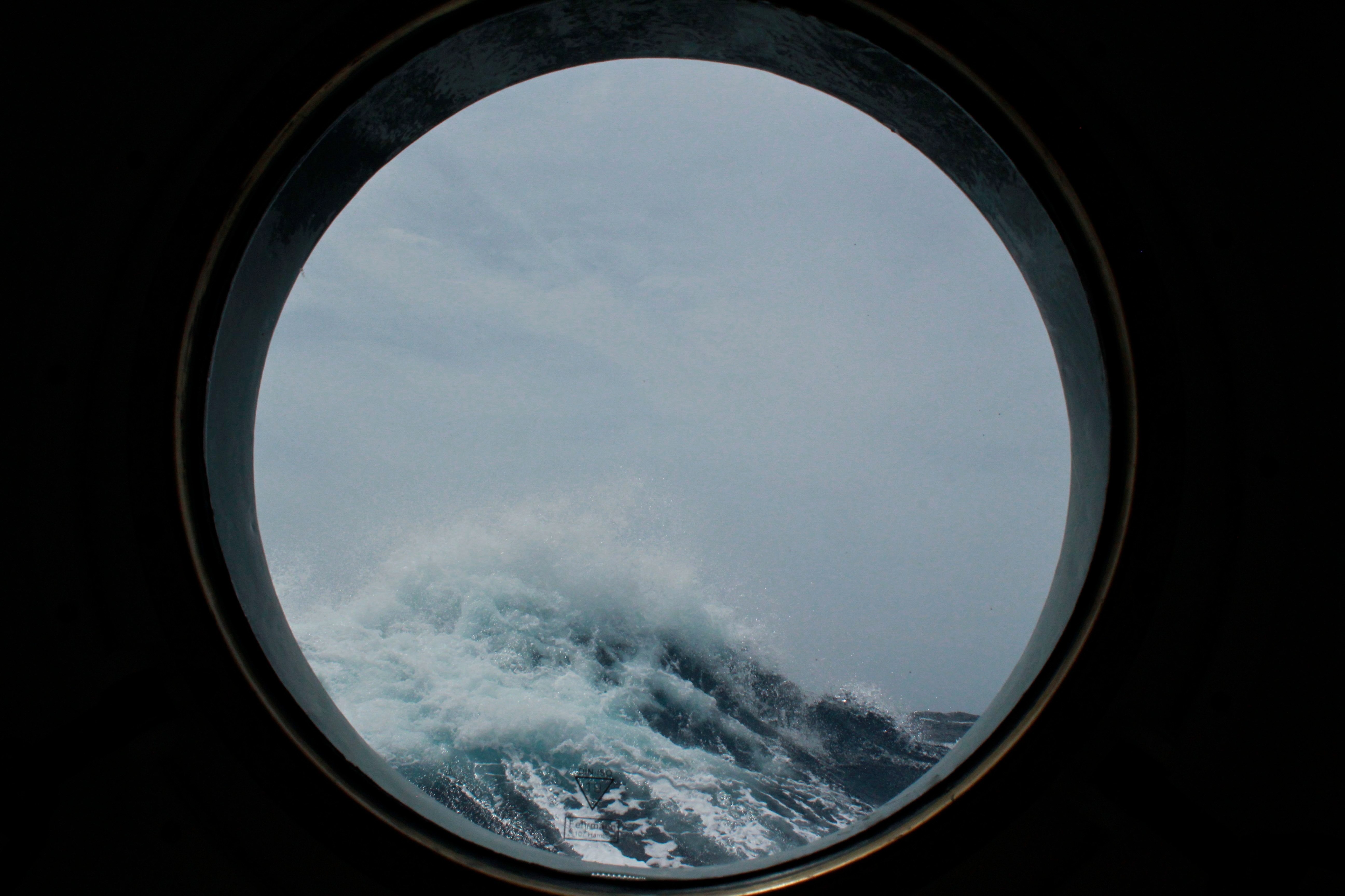
Weather is a natural part of being at sea, and the team already experienced a small storm during the first week. As chief scientist William Sager states, “it was just a little fall gale passing across the north Pacific with high winds and seas“. Of course, storm waves aren’t smooth, so the ship moved around considerably, but it certainly added to the adventure. The seas may pick up again in the next few days, and while data collection is the main objective of our expedition, safety will always be a priority. The R/V Falkor has a very professional and knowledgeable crew who are constantly assessing weather conditions along our course.