




“Having a luck dragon with you is the only way to go on a quest,”says Falkor, the Luckdragon from the book The Neverending Story
Shedding Some Light on Mapping
The science operations on board are conducted on this cruise from the Science Control Room.To fulfill the scientific quest of mapping the eastern part of the Ellice Basin, the Marine Technicians, Chief Scientist, and Student Opportunity Participants work in shifts to acquire and process mapping data from the multibeam sonar affixed to a gondola underneath the R/V Falkor.A multibeam sonar is essentially a system which transmits and receives a sound pulse, or ping.This sound pulse travels through a transmitter located on the gondola in a fore/aft direction at a specific frequency, and a receiver placed near and perpendicular to the transmitter receives that same pulse as it bounces back off a surface. On this particular cruise, we are using medium frequency acoustic waves, which allows us to reach the deep seafloor we are passing over.The transmitter and the receiver are called transducers, meaning that they can convert energy. The transmitter converts energy into an acoustic pulse to be sent out, while the receiver converts an acoustical pulse into an electrical signal that can be processed by the computer systems. A multibeam sonar has several transducers which create a wide swath of sound beams, the width of which is determined by seafloor depth. By reading the resulting amplitude strength and travel time on the sound return, these computer systems can create high-resolution images of the ocean bathymetry.
Navigating Across The Oceans
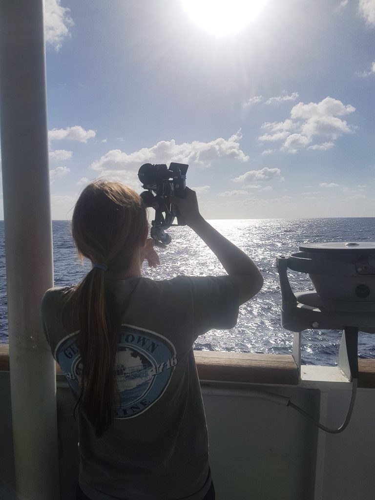
The bridge plays a crucial role in bringing the R/V Falkor to her research destinations and back to port safely. The navigation systems include x-band and s-band radar, with x-band being a high frequency radar delivering a clearer image at short distances, while s-band is a short frequency radar that can see through rain easier. The bridge also utilizes ECDIS (Electronic Chart Display and Information System) charts, which allow the ship to navigate through a geographic information system on a computer rather than use paper charts. While deck officers are required to stand watch on the bridge, the autopilot can keep a set course and account for factors that might offset that course such as wind, swells, and current. However, traditional methods are still practiced as well, including taking range bearings and using a sextant, which can effectively give the ship’s position should technology fail.
Powering Through Research
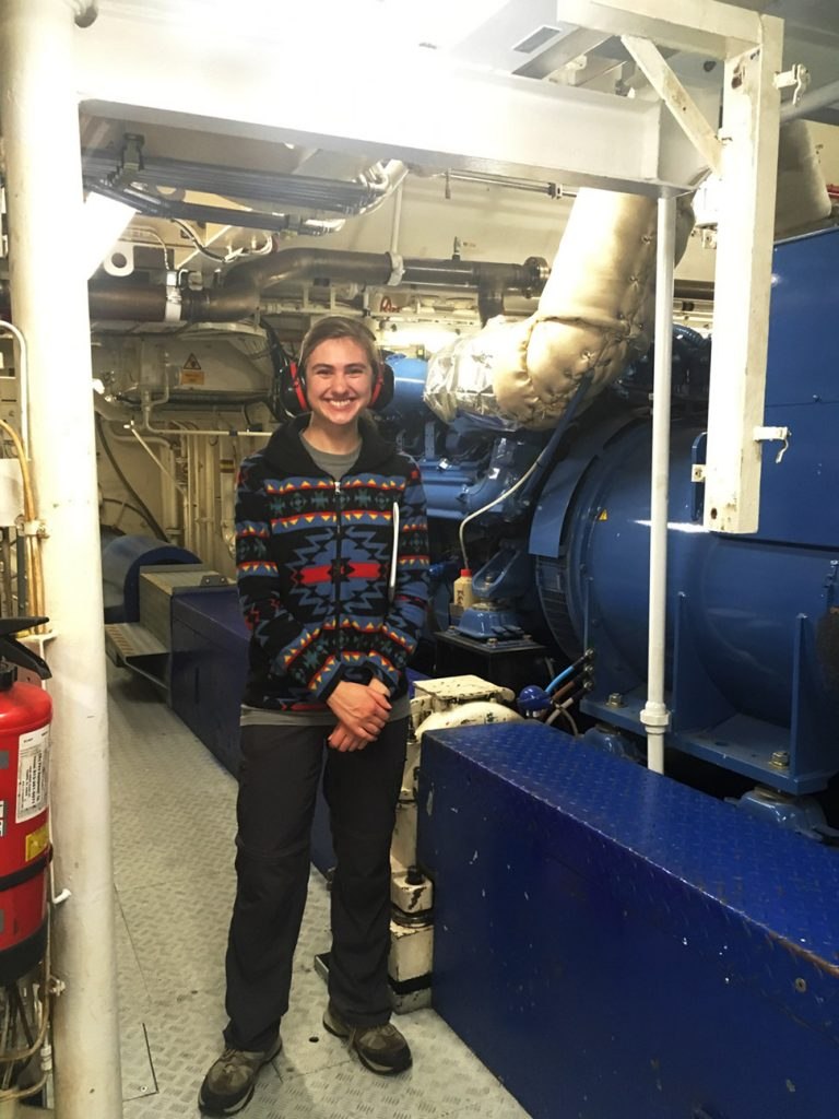
To help me understand what powers the fundamental systems onboard the R/V Falkor and allows her to travel across oceans, 2nd Engineer Douglas Hay