




Submarine canyons are dramatic topographic features that connect shallow continental shelves to deep ocean basins and create marine hotspots due to their unusual characteristics. They are highly productive zones that support an astonishing diversity of marine life within their depths. Perth Canyon is no exception
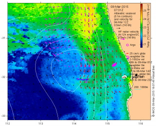
First, we have to understand the larger-scale oceanographic patterns surrounding the Canyon. All along the coast of Western Australia, the Leeuwin Current transports tropical warm waters southwards (shown in green in the map). These waters may have come all the way from the eastern Pacific and have thus been stripped of most of their nutrients by the time they arrive in Western Australia. So despite clear waters and plenty of sunlight, the Leeuwin Current does not actually support highly productive phytoplankton communities.
It is only in the waters below, at a depth of about 100-120 metres (300-400 ft), that nutrients are available and light is still abundant enough to create conditions that are highly favourable to phytoplankton growth. Consequently, this is the depth where the chlorophyll a maximum is found since chlorophyll concentration is a proxy for phytoplankton biomass.
The Leeuwin Undercurrent
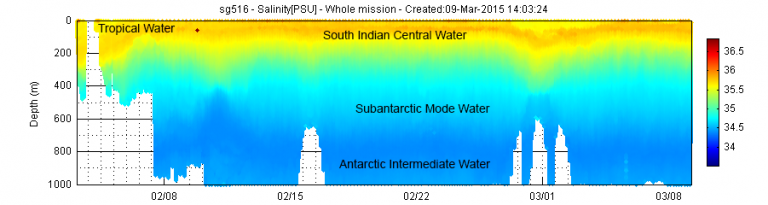
The Leeuwin Undercurrent flows beneath the Leeuwin Current at depths between 300 and 800 metres (1000-2600 ft). This water is formed at the south of Australia during winter and is high in nutrients and dissolved oxygen. The interaction between the Leeuwin Undercurrent and the canyon topography results in eddies being formed within the walls of the canyon and upwelling at the head of the canyon. Both of these features bring nutrients into the photic or sunlit zone.
This upwelling of nutrient-rich water within the Canyon enhances phytoplankton growth or primary production, which in turn increases secondary production (biomass that is produced by consumers), thus boosting marine life. Not surprisingly, whales are attracted by this high productivity and thus visit the Canyon to feed in large aggregations.
Understanding the Canyon’s oceanography
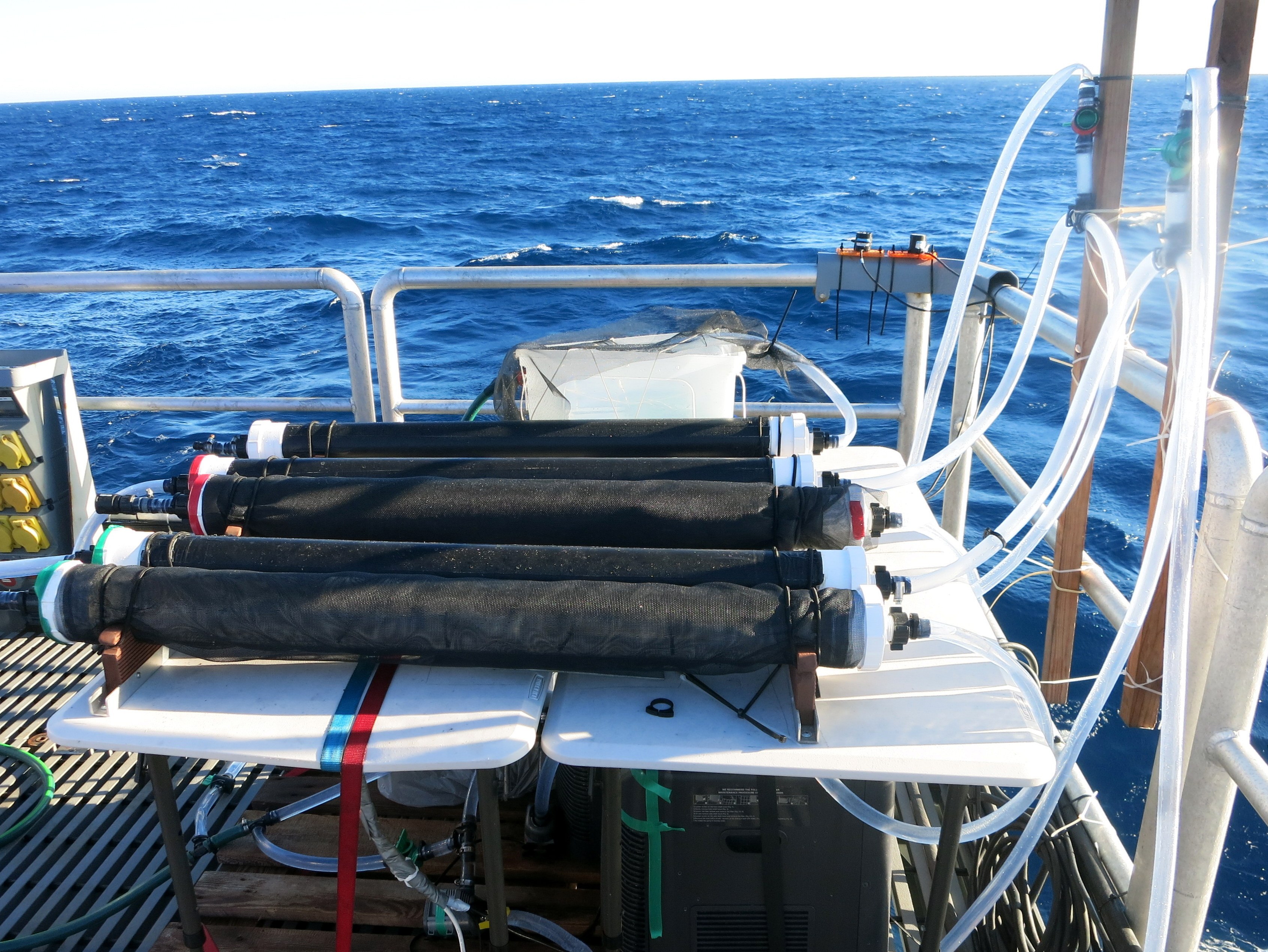
On board R/V Falkor, a fluorometer is mounted onto the CTD rosette, which measures the concentration of chlorophyll a at various water depths in combination with salinity and temperature. Additionally, Research Associate Lara Garcia-Corral has collected phytoplankton communities from different water depths within the Canyon, which she is culturing in experimental chambers to measure photosynthesis and respiration rates. By simulating the conditions at which these communities live at each depth, she will be able to determine marine primary productivity within Perth Canyon.
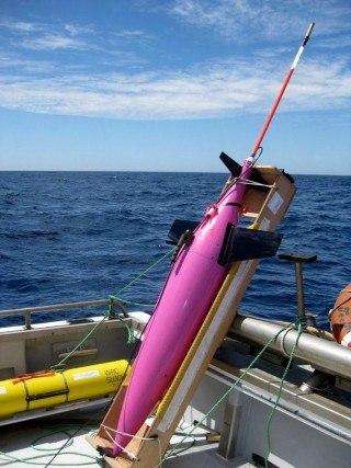
Furthermore, Prof. Charitha Pattiaratchi has also been deploying ocean gliders in Perth Canyon and the surrounding areas. Ocean gliders are autonomous underwater vehicles (AUVs) that can stay in the water for a long time and constantly measure oxygen, salinity, temperature and chlorophyll a. Overall, this combined scientific effort will help us to understand marine primary productivity, which is the basis of the aquatic food chain, and sustains the amazing diversity of marine life within Perth Canyon.