




After 12 days at sea, we are nearing the end of the first deep exploration of Perth Canyon. Although it has long been known that a submarine canyon exists at our doorstep, this was the first detailed exploration using state-of-the-art mapping systems and ROV technology, which unveiled the magnificence of an ancient canyon the size of the USA’s Grand Canyon.
Mapping of Perth Canyon
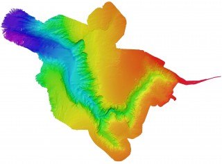
After spending many nights of multi-beam mapping, we now have a high-resolution map of the entire Perth Canyon revealing jaw-dropping features that rival those of canyons found on land. We discovered narrow gorges, wide valleys and cliffs dropping into the abyss for several hundred metres. One area even featured a gigantic amphitheatre and evidence of an ancient waterfall plunging down 600 metres (2000 ft) – 12 times higher than the world famous Niagara Falls! Overall, we mapped over 4000 square kilometres (1500 square miles) and recorded the Canyon’s maximum depth at 4276 metres (14,029 ft).
Amazing diversity of life despite adverse conditions
During the cruise, hundreds of water samples were analysed to determine how water chemistry changes with depth in the water column as a function of both decreasing temperature and seawater pH. We found that the saturation state of aragonite
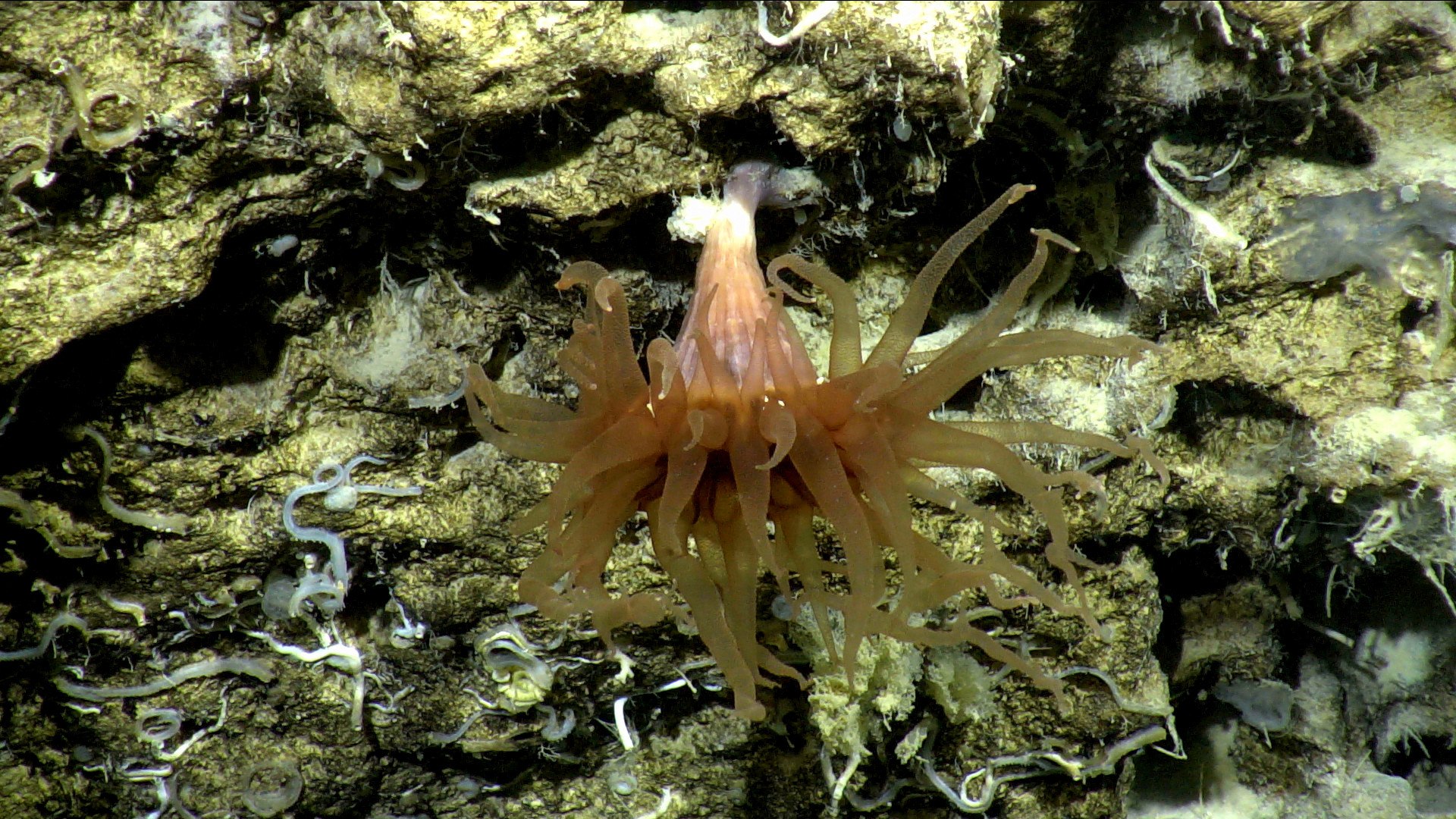
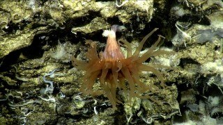
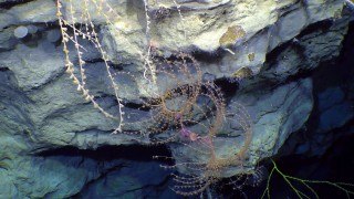
We discovered new species almost every time we dove into the depths of Perth Canyon, and many organisms that we found were observed in Western Australian waters for the very first time. For example, the glass sponges collected during the cruise are most likely new species and we also recorded the Venus Fly Trap anemone for the first time along the Western Australian coast.
Despite the many secrets that the Canyon has revealed so far, these answers will only lead to more questions. We have collected enough material to keep us busy for years to come, and more secrets will hopefully be unveiled as we continue to study the Canyon at our doorstep.