



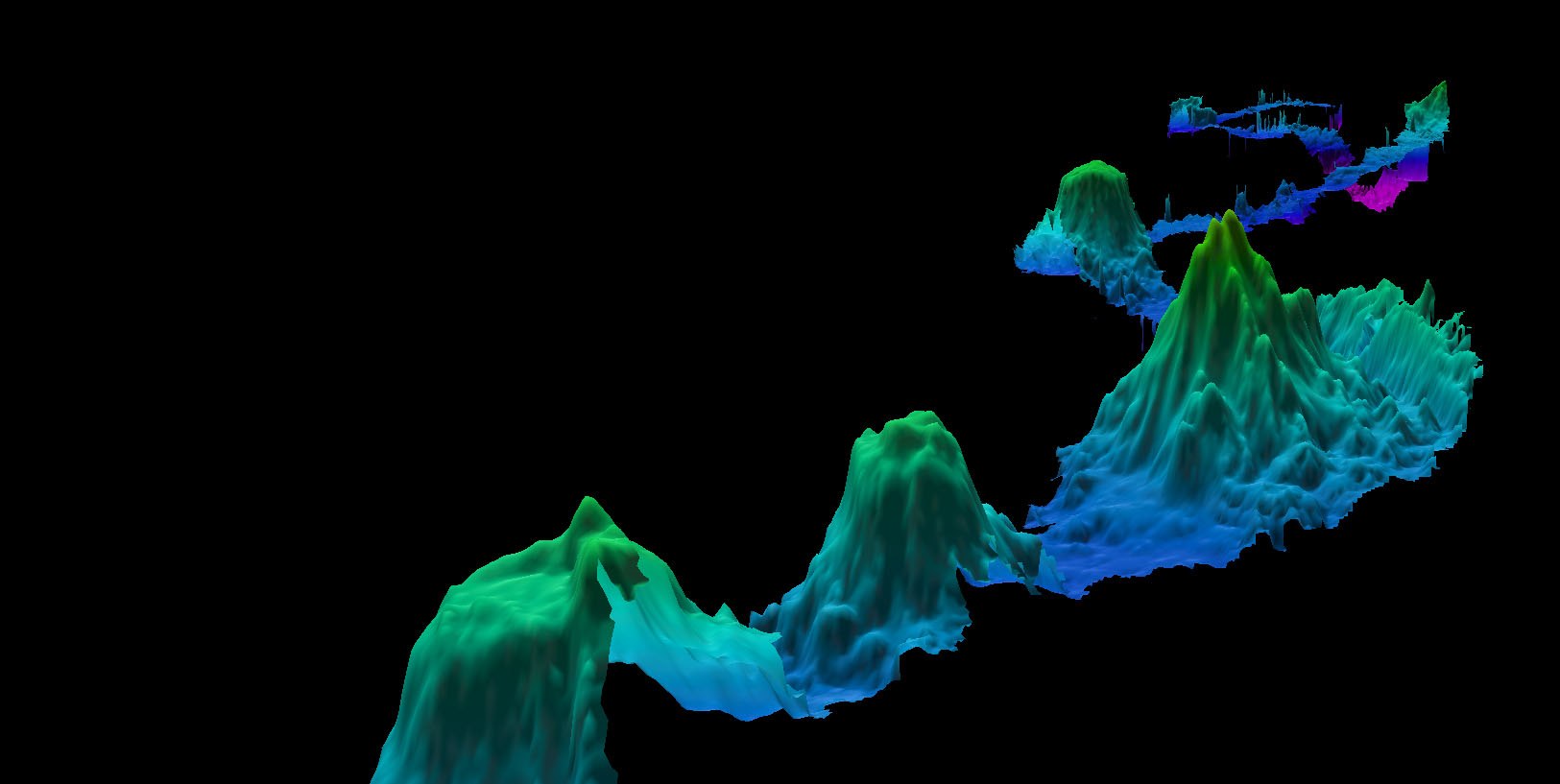

The ocean floor - though it covers the majority of our planet - is still more mysterious to us than our closest astronomical neighbors. While satellites orbiting Earth can give us high-resolution images of every point on land, and space probes and telescopes give us detailed photos of the surfaces of other planets, our knowledge of the ocean's depths is obscured by the ocean itself--water absorbs the light and other electromagnetic waves we need to observe the seafloor, rendering the technologies we use to study the surfaces of faraway planets ineffective.
We know what the largest elements of the seabed look like from measurements of sea surface height obtained from satellites
The results of the multibeam mapping approach are highly dependent on the estimate of the speed of sound. The speed of sound underwater depends on the salinity of the water, the temperature, and the depth, all of which need to be measured in order to create a sound velocity profile which is used to calculate the time it takes for sonar beams to bounce off the ocean floor. The salinity and temperature information can be obtained from the World Ocean Atlas
Much like the Argo float program revolutionized oceanography by enabling continuous monitoring of ocean processes, having a complete map of the seafloor will revolutionize our knowledge of our oceans. While there is still a long way left to go, the mapping data collected by Falkor on this transit from Hawaii to Suva will fill in some of the gaps our high-resolution maps, as the oceanographic community collectively works towards a vision of a better understood ocean.