



Dive In
About the Expedition
Within Australia’s largest marine reserve, the recently establishedCoral Sea Marine Park, lies the Queensland Plateau, one of the world’s largest continental margin plateaus at nearly 300,000 square kilometers. The plateau contains 30 large coral atolls including the famed Osprey Reef, Lihou Reef, and Diamond Islets. Here a wide variety of reef systems range from large atolls and long banks to shallow coral pinnacles. Virtually unmapped and mostly unexplored beyond the shallower parts of these reefs, Dr. Robin Beaman, James Cook University, and a team of scientists from Geoscience Australia, The University of Sydney, and the Queensland Museum will work remotely with R/V Falkor to conduct unprecedented mapping and exploration of the Queensland Plateau. The expedition will provide insight into the geological evolution and biodiversity of Australia’s marine frontier.
- Dive Markers
- Trackline
The Mission
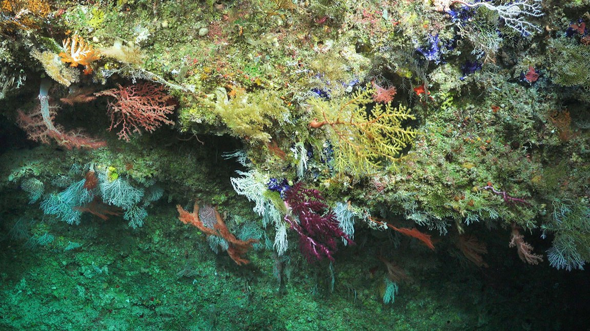
While shallower areas of the reefs have been studied through SCUBA diving, little is known about the pristine plateau in the vast deeper waters, and scientists only have a general idea of its depth. The deep waters have only been visited several times before by the likes of Jacques Cousteau in the 1980s - down to 240 meters - and a German expedition to 800 meters in 2009. This expedition will provide a novel look down to 2,000 meters into the deeper waters, giving insight into the species that live there and gathering new seafloor maps to better understand the geomorphology (shape of the seafloor).
Very few deep-sea areas in Australia have been studied. Following two successful expeditions exploring the Western Australian coast, this voyage will expand the characterization and understanding of deep sea areas in the Coral Sea Marine Park. As demonstrated by the work done in Bremer Bay, Perth Canyon, and most recently the Ningaloo Canyons, Remotely Operated Vehicle (ROV) SuBastian can make a major impact in the discovery of new species, habitats, and in understanding key processes in these little-known ecosystems. In a country where there are few opportunities to explore the deep sea with a dedicated science ROV, this expedition will have a major impact in visioning the Coral Sea.
Features of the Reef Flanks
In addition to the broad-scale mapping and characterizing of a genuine marine frontier, the vision data collected from these deep-water marine life and their surrounding environments will allow scientists to develop an understanding of the physical and temporal changes that have occurred historically on the Queensland Plateau. The acquisition of baseline mapping and underwater vision data provides a unique window into both the geological past and the present day condition of mesophotic (twilight zone) and deeper cold-water coral ecosystems, allowing for marine park staff to manage and adapt policies for the future.
Preliminary mapping of the Queensland Plateau suggests the presence of many enigmatic seabed features, including numerous drowned reef pinnacles and long meandering channels on the plateau surface. The team aims to completely map, in detail, the steeper reef flanks using high-resolution multibeam mapping, and also target these enigmatic seabed features. Advanced mapping techniques provide the ability to uncover finer-scale features, such as wave-cut caves on the sides of these reefs, which can provide important insight into the past sea levels. Comprehensive mapping is critical to reveal the complete reef morphology from their base up to their shallower depths, and to understand the evolution of the reef system. The new multibeam data will greatly advance the characterization of Australia's massive and ecologically important marine estate. All data will be added to the Australian government databases and made publicly available.
Life Along the Reef Slope
In addition to obtaining a detailed map of deeper reef structures, ROV SuBastian will capture high-resolution imagery upwards along the steep reef slopes to examine how corals and other species group across large depth gradients. This data will be compared to previous work in the region to identify spatial patterns of deep-sea life. The observations in the Queensland Plateau can provide insight into the biodiversity patterns in similar environments.
Additionally, the ROV dives will help to determine the extent and depth of coral bleaching. Another mass bleaching event recently took place that resulted in scientists finding more thanhalf of the coral reefs bleached beyond the Great Barrier Reefin early March. This expedition will provide an opportunity to look at the mesophotic or deeper reef to see how extensive the bleaching is, and if these reefs could act as a potential refugia for the Great Barrier Reef.
Team and Collaborators






Explore
Updates from the Ship
All Ship Updates
- 01
Rapid Data Publication: From Ship to Home
24 June 2020
Read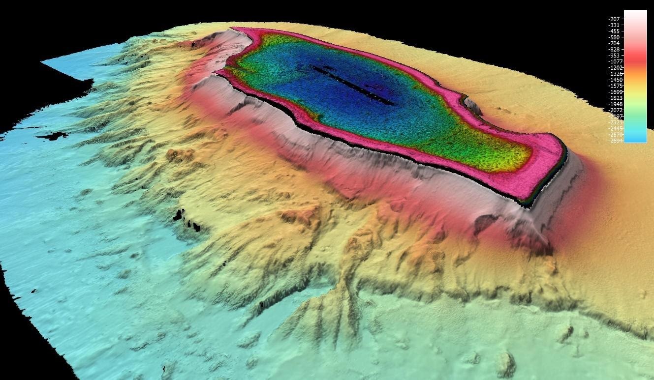
- 02
Video Wrap Up - Setting a High Bar
19 June 2020
Read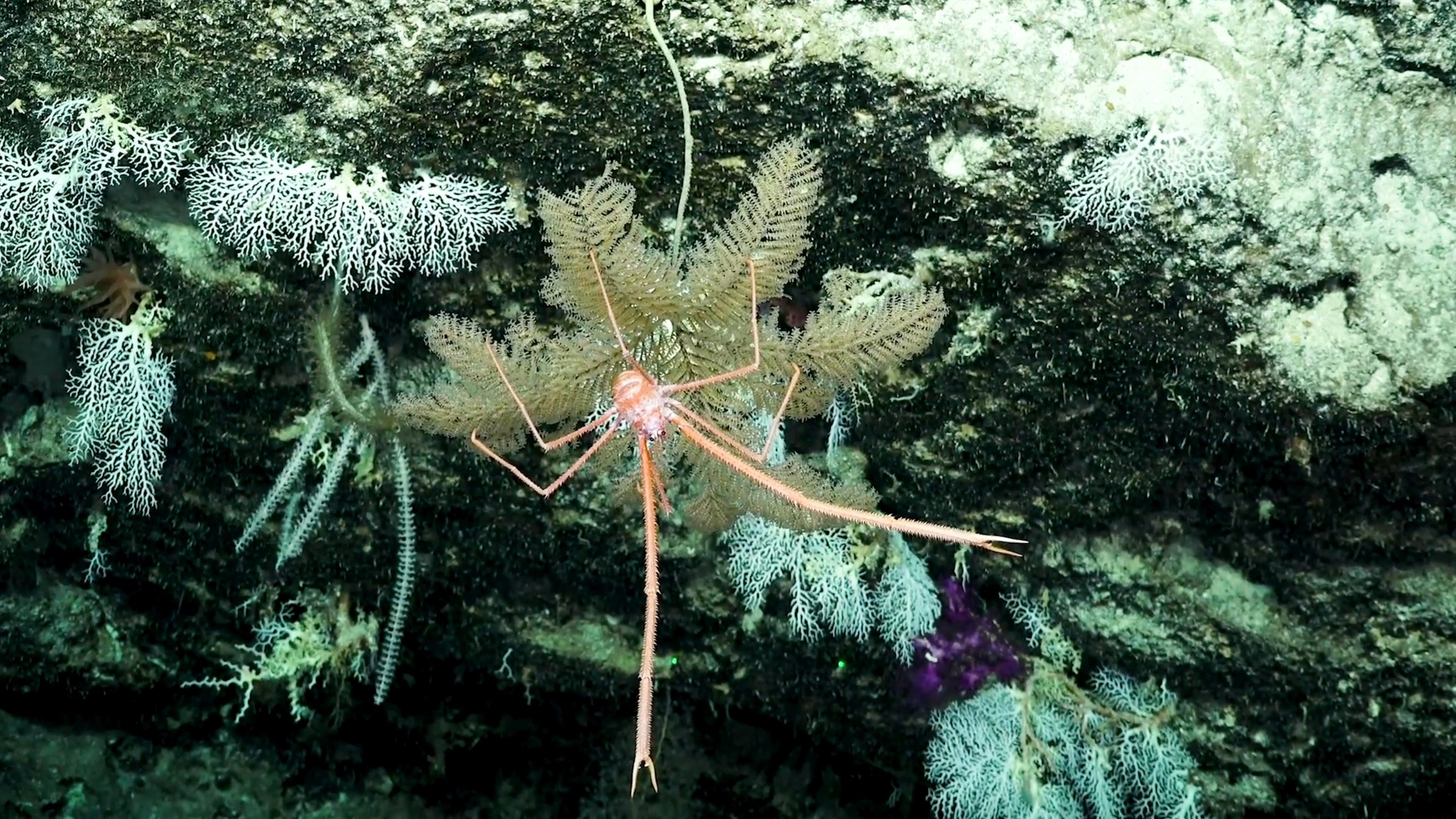
- 03
Exploring the Coral Sea ‘Twilight Zone’
15 June 2020
Read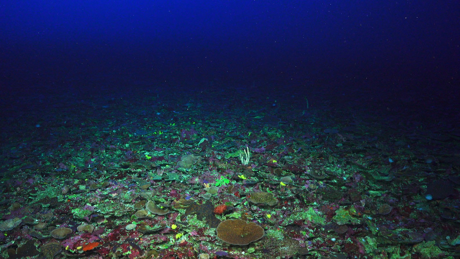
- 04
Studying Sharks in the Coral Sea ~ Science@Sea Seminar
10 June 2020
Read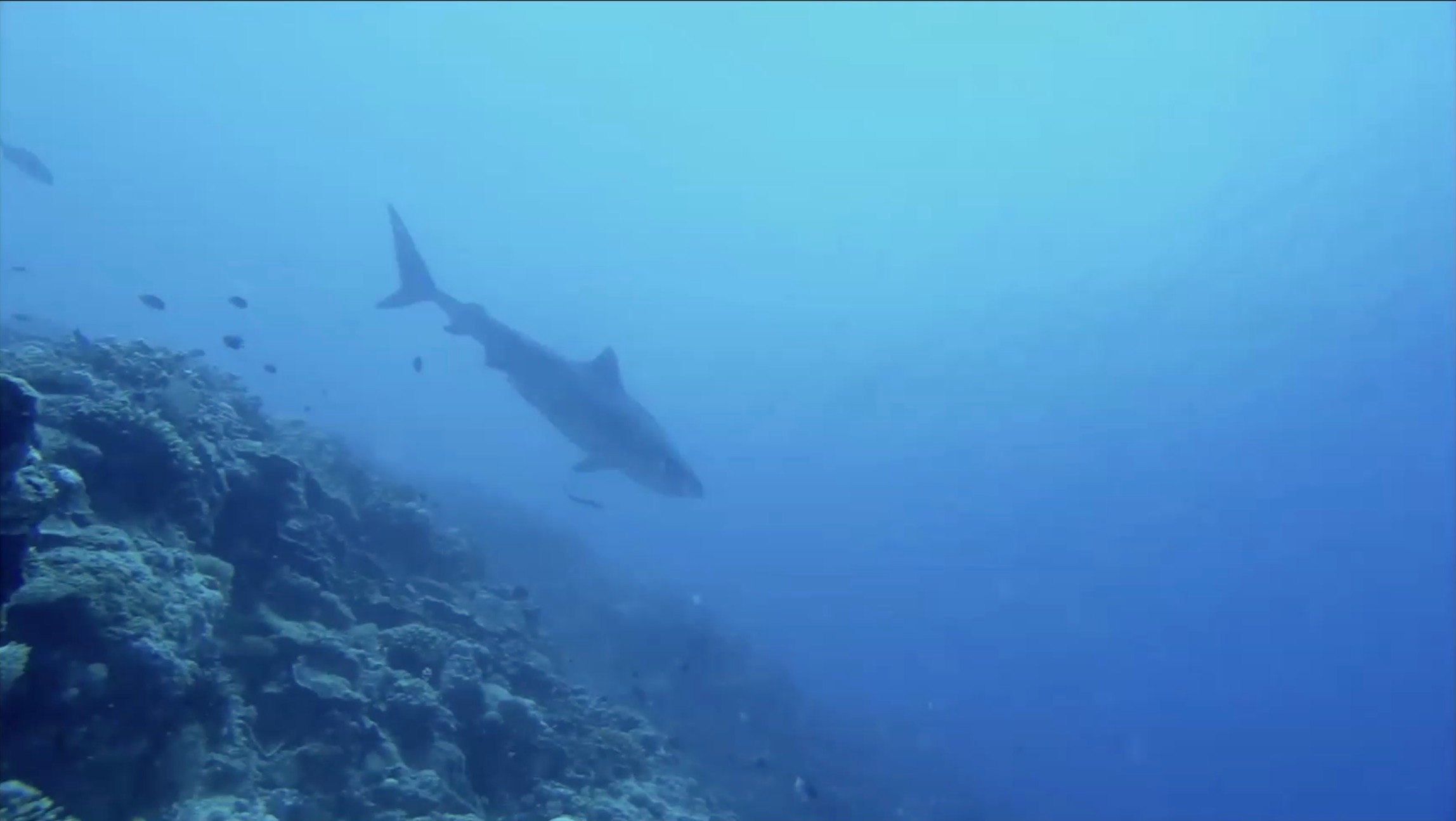
- 05
Uncharted waters
2 June 2020
Read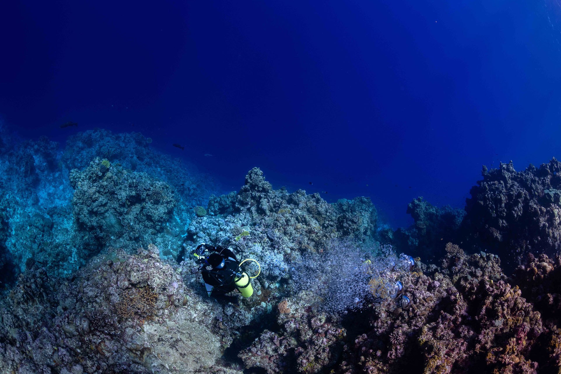
- 06
History of Mapping the Coral Sea ~ Science@Sea Seminar
31 May 2020
Read
- 07
Visioning the Coral Sea - Video Update 1
27 May 2020
Read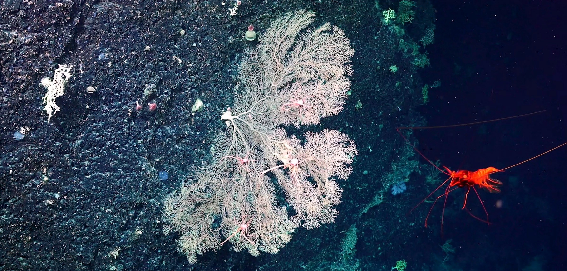
- 08
A tale of life or death and recovery ~ Science@Sea Seminar
26 May 2020
Read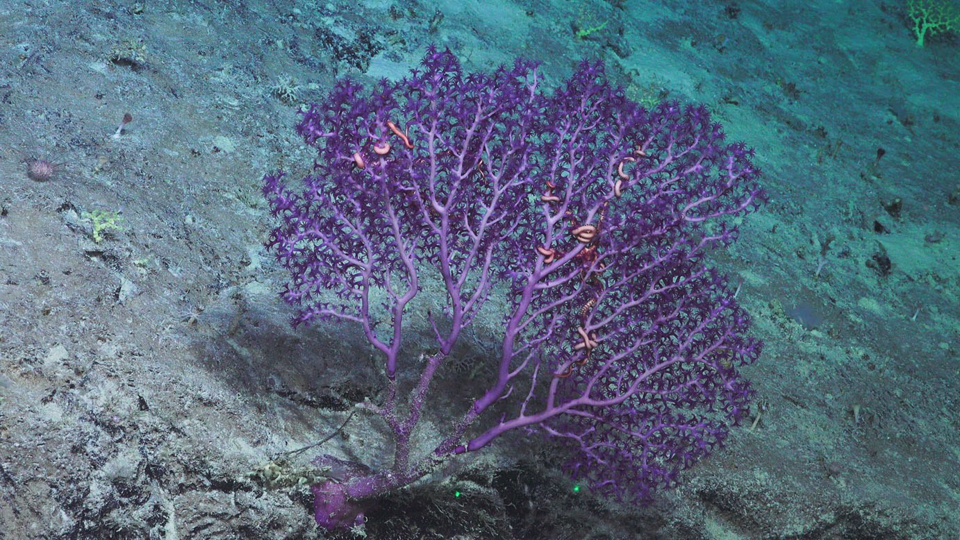
- 09
New Species and Range Extension Records for the Coral Sea
25 May 2020
Read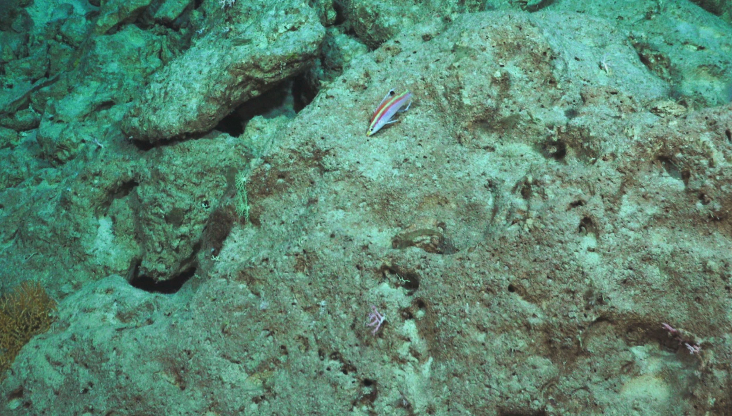
- 10
From Underwater Video to 3D Modelling
19 May 2020
Read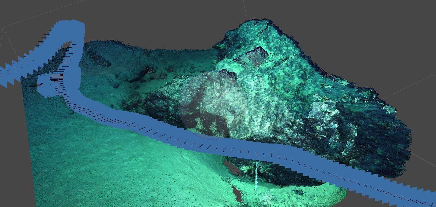
- 11
Searching for Carnivorous Sponges
18 May 2020
Read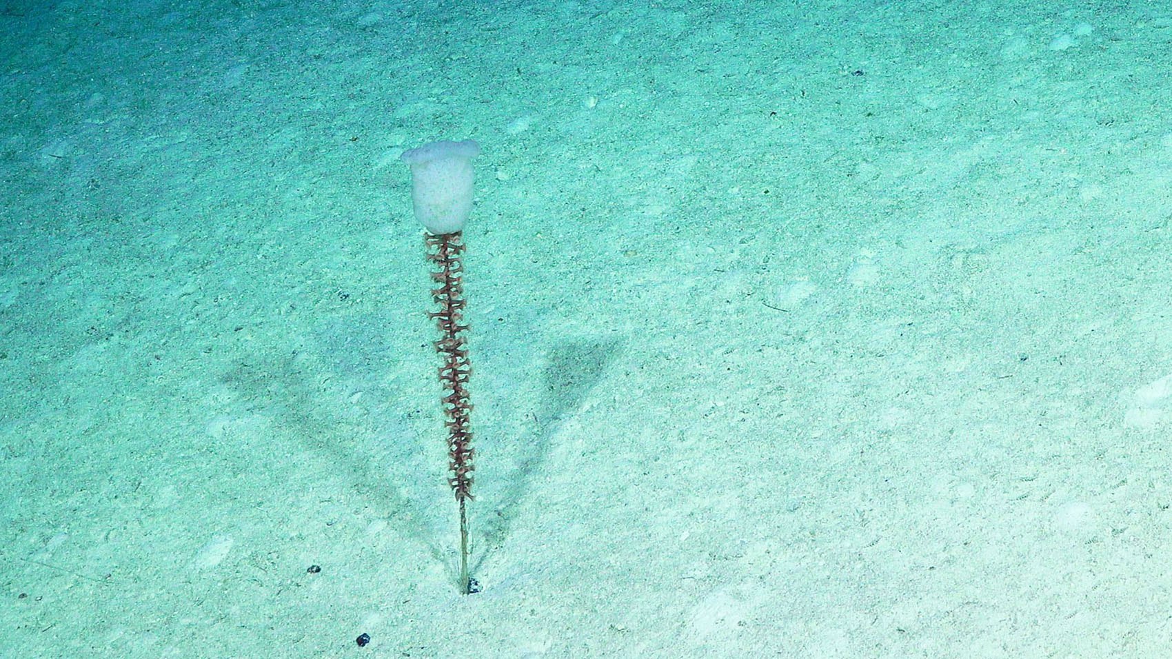
- 12
Exploration With a Remote Science Team: A Marine Tech’s Perspective
15 May 2020
Read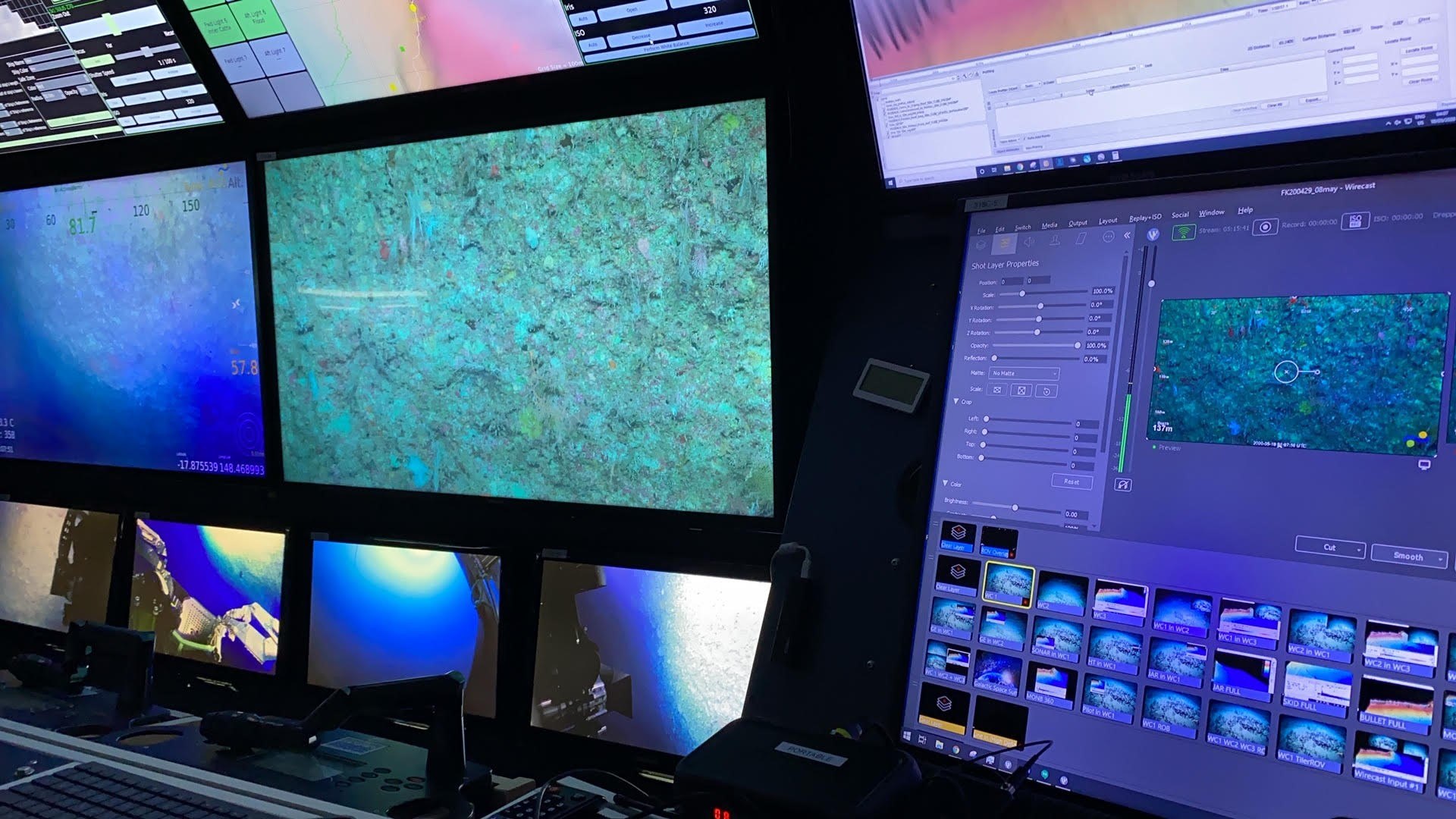
- 13
Going live in three, two, and one.
4 May 2020
Read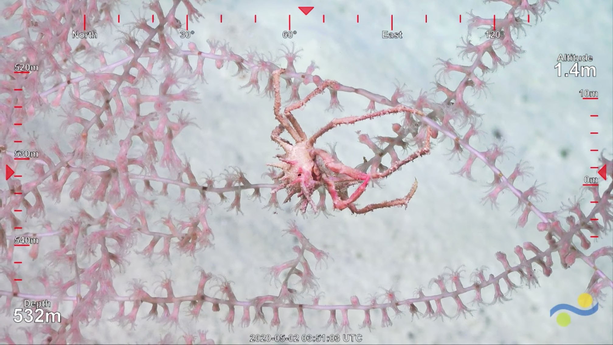
- 14
Science expeditions in the time of COVID19
1 May 2020
Read
Related Galleries
View AllWe are happy to offer a streamlined request process when usage falls within the parameters outlined in the Creative Commons Attribution-Noncommercial-ShareAlike 4.0 International (CC BY-NC-SA 4.0) License. However, due to our legal status as a 501(c)(3) private operating foundation, no media produced by Schmidt Ocean Institute may be used in attempting to influence legislation or lobbying.
Attribution-NonCommercial-ShareAlike | CC BY-NC-SA
Under this Creative Commons License, you are free to:
Share — copy and redistribute the material in any medium or format
Adapt — remix, transform, and build upon the material
Under the following terms:
Attribution. You must give appropriate credit, provide a link to the license, and indicate if changes were made. You may do so in any reasonable manner, but not in any way that suggests the licensor endorses you or your use.
NonCommercial. You may not use the material for commercial purposes.
ShareAlike. If you remix, transform, or build upon the material, you must distribute your contributions under the same license as the original.
Not sure this license fits your use? Head over to our Image Requests page to learn more
Divestreams
View all Divestreams

Weekly Videos
View all Weekly Videos
Discover More
Expedition Data
Title  | Type | Repository |
|---|---|---|
| Data and videos | Captured Image/Video | Australian Marine Parks Science Atlas |
| Multibeam data | Sonar Data | AusSeaBed |
| Annotated imagery | Annotated Imagery | Squidle+ |
| Vessel Underway Data | Oceanographic Property Data | Rolling Deck to Repository (R2R) |
| ADCP Data | Oceanographic Property Data | University of Hawaii SOEST |
| CTD, Oxygen, Navigation, Google Earth Visualization and Eventlogger documentation collected by ROV SuBastian | Oceanographic Property Data, Navigation Data | Marine Geoscience Data System (MGDS) |
Publications from This Expedition
30 day Preliminary Post Cruise Report: Visioning of the Coral Sea Marine Park
Beaman, R. (2021) Schmidt Ocean Institute R/V Falkor Australia Campaign 2020-2021. Oral Presentation and Conference Paper, Sub-Committee on Regional Undersea Mapping, General Bathymetric Chart of the Oceans, Virtual from Paris, France.
McNeil, M. (2021). No Pandemic-pause for Multi-disciplinary Reef Exploration in 2020. Reef in Review, 50, 8-10.
Beaman, R., Picard, K., and Miller, A. (2022). RV Falkor Surveys in Australia 2020-2021. Oral Presentation and Conference Paper, Hydrospatial 2021 Conference, Australasian Hydrographic Society, Cairns, Australia.
[This Article was published OPEN ACCESS]Beaman, R.J. (2023). Recently discovered drowned reefs on the Queensland Plateau, Coral Sea Marine Park, Australia, Oral Presentation, Australian Marine Sciences Association Conference, Gold Coast, Australia.
Mah, C. (2023). A new species of Astrosarkus from Western Australia including new Mesophotic occurrences of Indian Ocean Oreasteridae (Valvatida, Asteroidea). Memoirs of Museum Victoria 82:143-165, doi: 10.24199/j.mmv.2023.82.08.
[This Article was published OPEN ACCESS]Betzler, C., Hübscher, C., Lindhorst, S., Lüdmann, T., Hincke, C., Beaman, R., and Webster, J. (2024). Seismic stratigraphic and sedimentary record of a partial carbonate platform drowning, Queensland Plateau, north-east Australia. Marine Geology, 470, doi: 10.1016/j.margeo.2024.107255.
[This Article was published OPEN ACCESS]Lindhorst, S., Budke, L., Beaman, R., Eisermann, J.O., Hübscher, C., Lahajnar, N., Lüdmann, T., Webster, J., and Betzler, C. (2026). Deep-water canyon-channel systems of the Queensland Plateau, Northeast Australia. Marine Geology, 491, doi: 10.1016/j.margeo.2025.107678.
[This Article was published OPEN ACCESS]