


0 results for
- Type in the search bar to begin searching the site.

Expeditions
In the coming years, our expeditions will explore understudied regions around all seven continents in our global Ocean.
Latest Expedition
See all
Programs
From grants for caregivers to an artist-at-sea residency, our programs strive to deepen knowledge and inspire a connection with our planet’s life support system.
Latest Expedition
See all
- Our Team

Expeditions & Roles
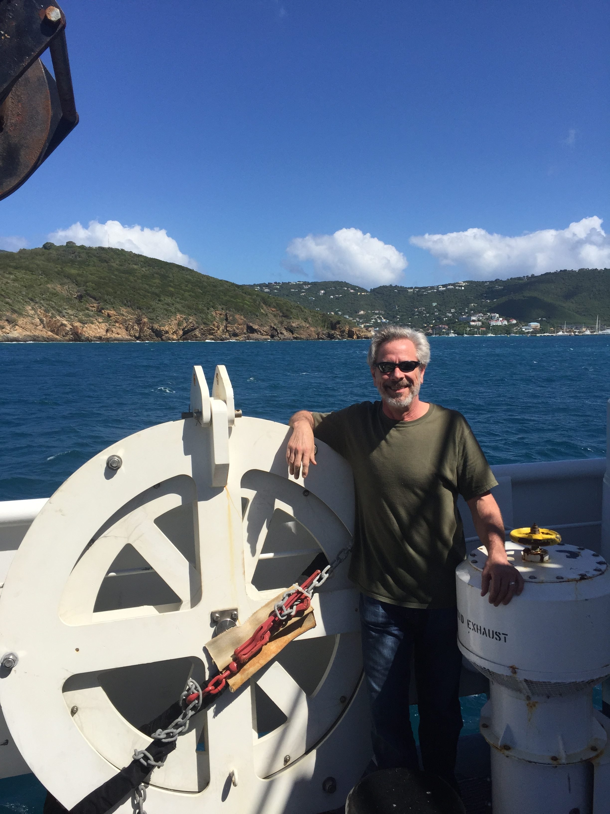
Bill Danforth
Bill Danforth is a marine geologist at the U.S. Geological Survey (USGS) in Woods Hole, MA. Bill’s career has focused on the advances in the technology and techniques used to collect, analyze, and publish marine remote sensing data. Over the past 30 years, Bill has participated in dozens of cruises to collect, conduct quality assurance testing on, and process navigation, multibeam and sidescan sonar, split-beam, Chirp, and seismic data collected for USGS projects, as well as for collaborative efforts with other government agencies and research institutions. On “Observing Seafloor Methane Seeps at the Edge of Hydrate Stability,” Bill will be working with the Falkor’s multibeam, EK60, and Chirp systems to conduct geophysical mapping operations and generate maps to guide planning of ROV dives.