
Around two-thirds of the Earth's surface lies beneath the oceans, and much of what lies at the depths of the oceans is made of basaltic oceanic crust
When geologists reconstruct the past motions of tectonic plates, they use marine geophysical data (including magnetic data) preserved by the ocean floor. As the basaltic rocks that erupted along mid-ocean ridges during seafloor spreading cool, they record the Earth’s magnetic field at the time of formation. Because the Earth’s magnetic field flips over geological time, it forms symmetrical magnetic stripes (magnetic reversals) on both sides of a mid-ocean ridge: a ‘barcode of the oceans.’ In fact, the observation of marine magnetic reversals was instrumental in proving the theory of plate tectonics
The opening of the Tasman Sea basin through seafloor spreading took place along a mid-ocean ridge (now extinct) that was producing oceanic crust between Late Cretaceous to Eocene times (~84-52 million years ago). The mid-ocean ridge propagated like a zipper from south to north, and as a result, the Tasman Sea basin is wider in the south, between Tasmania and New Zealand than in the north between offshore Queensland and Lord Howe Rise. The opening of the Tasman Sea basin was not smooth, but happened in multiple stages, and sometimes the zipper got stuck (as the mid-ocean ridge jumped). A detailed tectonic reconstruction of this region based on prominent seafloor features and magnetic anomalies suggests that there were at least 13 pieces of a puzzle that were involved in the construction of the Tasman Sea and the dispersal of micro-continents into the southwest Pacific.
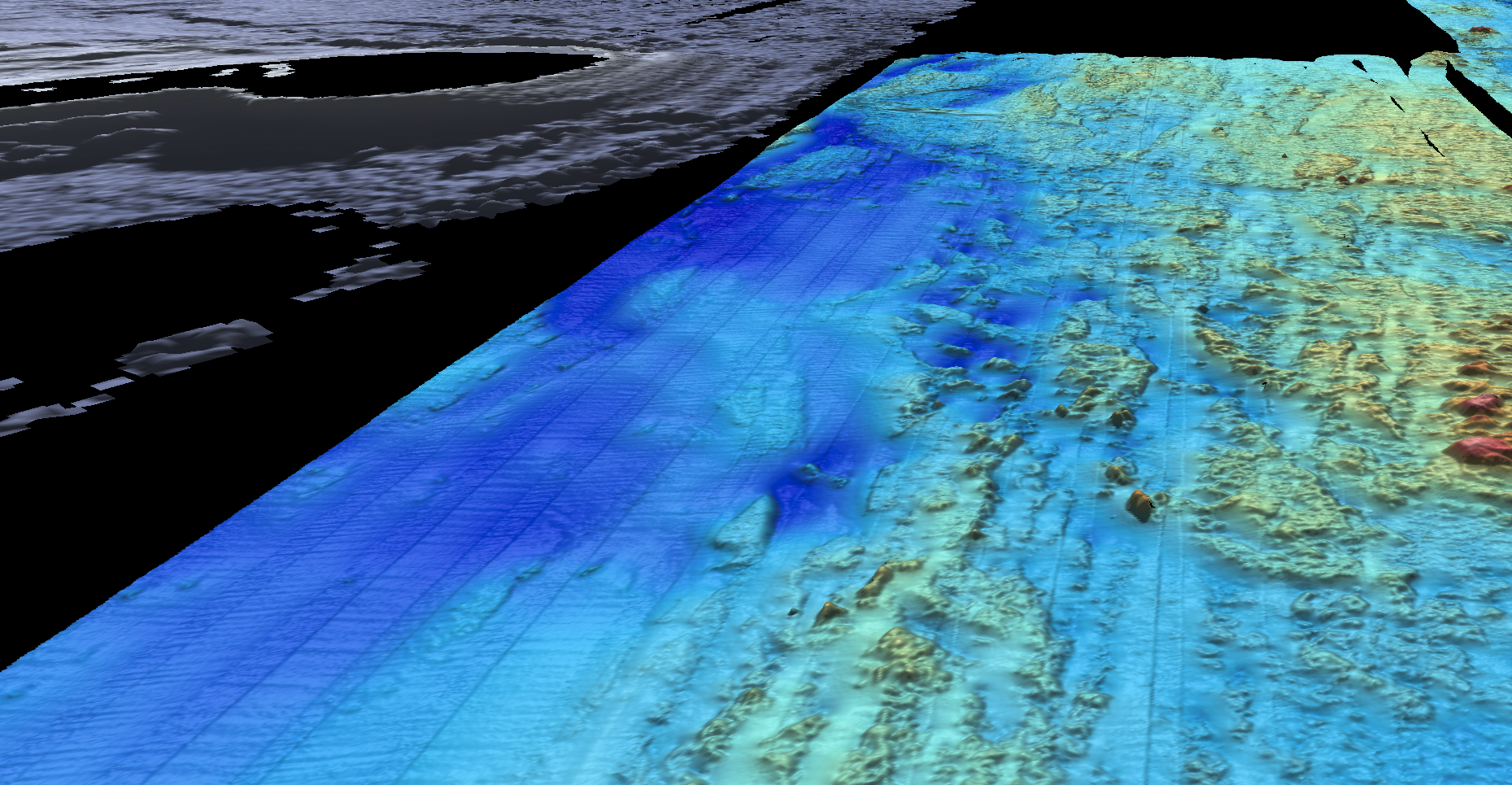
In the northern part of the Tasman Sea, a period of volcanism ~35 to 25 million years ago gave rise to a chain of seamounts, which partly obliterated the magnetic lineations of the seafloor. The exact timing of Tasman Sea opening and the ending of seafloor-spreading requires higher resolution mapping of the seafloor and collection of marine magnetic data. Some of these new data will be collected in the northern Tasman Sea during the 30-day expedition of R/V Falkor. More bathymetric maps of the Tasman Sea are needed, as the seafloor fabric holds crucial information about the tectonic movement and the formation and evolution of the Australian continent.