



Dive In
About the Expedition
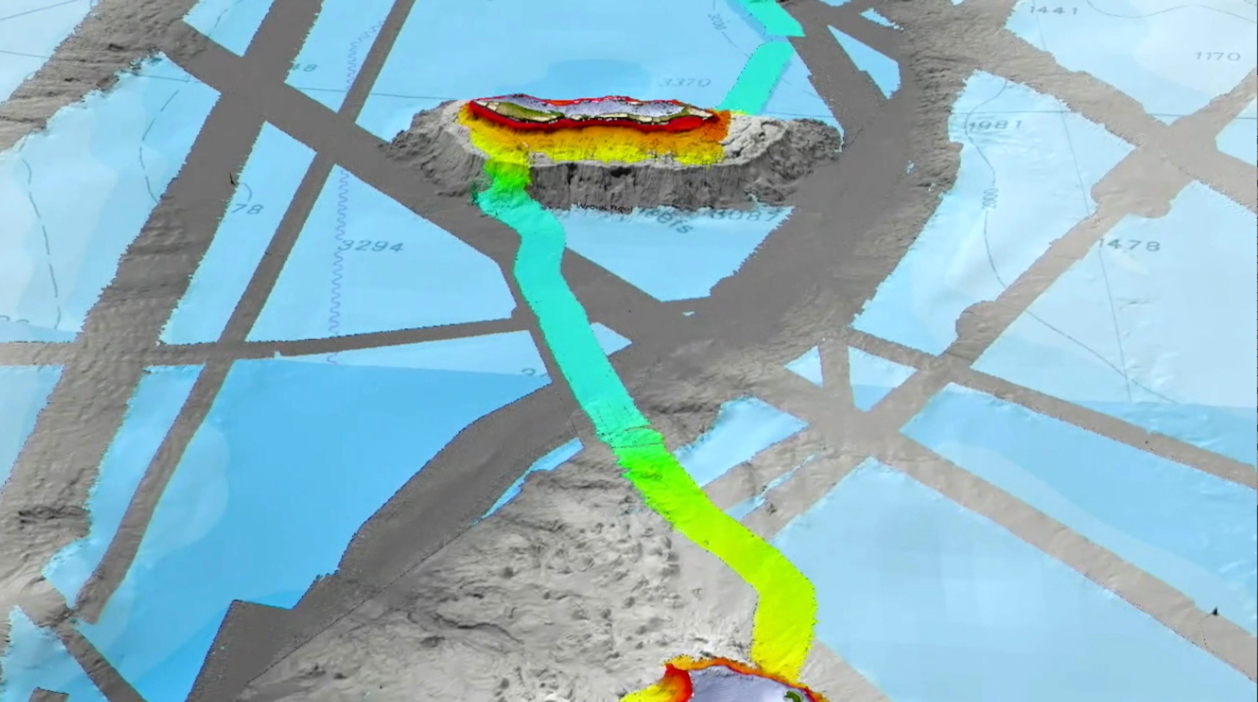
Schmidt Ocean Institute in partnership with The Nippon Foundation-GEBCO Seabed 2030, alongside collaborating researchers from Australia, will bring in the New Year on a mission-- mapping significant areas of the seafloor of the Tasman and Coral Seas, offshore Queensland, Australia. The expedition is a part of the global effort to map the seabed in its entirety by the year 2030, which will aid in ocean research, management, and economic development for future generations. Bathymetric maps of the Tasman and Coral Seas are especially valuable, as the shape of the seafloor holds information about the tectonic movement and the formation of the Australian continent. Along the way, researchers will additionally survey seabirds, which are important indicators of ocean health. The effort will be led by Dr. Robin Beaman from James Cook University and Dr. Helen Bostock from The University of Queensland, as they oversee an interdisciplinary team from across Oceania. The scientists will be joined by Australia-based artist, Jessica Leitmanis, who will work to create pieces inspired by the expedition. The data collected from the expedition are vital for zoning and management of the Coral Sea Marine Park, and will be some of the first data collected in 2021 for the start of the UN Decade of Ocean Science.
- Dive Markers
- Trackline
The Mission
Uncharted Plateaus and Extinct Volcanoes
The Tasman and Coral Seas are made up of deep sea basins, as well as plateaux and ridges. These basins, plateaux and ridges were created by the breaking apart and thinning of continental crust in the region during the late Cretaceous, approximately 110-80 million years ago. After this period, the seafloor began to spread, generating new oceanic crust until about 52 million years ago. The breaking up of the continental crust resulted in fragmented blocks of micro-continents spread across the region. This was followed by a subsequent period of volcanism and land subsidence during the early Eocene around 52 to 48 million years ago. This volcanic hotspot activity resulted in the formation of the Tasmantid Seamounts - a north-south chain of volcanoes in the centre of the Tasman Sea. The Tasmantid Seamounts are analogous to the Hawaiian archipelago in their formation.
Despite this knowledge about the formation of the Tasman and Coral Seas, the seafloor of this region is still poorly mapped and characterized. The expedition will focus on mapping key seafloor features in the area, such as the plateaux, ridges and seamounts. Understanding the full topographic complexity of the Tasman and Coral Seas will aid in advancing tectonic and geological studies, as well as providing critical information for the management of the Coral Sea Marine Park.
Contributing to a Global Effort
The seafloor mapping data will be uploaded into the Nippon Foundation and GEBCO’s Seabed 2030 database and to the AusSeabed Marine Data Portal, making the maps publicly available for all. Uploading the maps to the Seabed 2030 database is part of an ongoing global effort to map the Earth’s entire seafloor by the year 2030. At the beginning of Nippon Foundation and GEBCO'S project the seafloor was mapped at six percent. Nineteen percent of the seafloor is now accounted for due to this impressive enterprise. Having a complete map of the entire ocean floor will aid in our understanding of ocean circulation patterns, which affect the Earth’s climate and weather. Seafloor maps are also vital for sustainable development of the Blue Economy, for natural hazard mitigation, and for the establishment of marine reserves and protected areas.
While the ocean is typically thought of as a frontier, it is more often than not a multi-use space where many different people and activities interact. The Blue Economy is estimated to be worth 1.5 trillion dollars a year and creates the equivalent of 31 million full-time jobs globally. Understanding the detailed complexity of underwater landscapes, or seascapes, through bathymetry mapping aids in knowing where to lay cables for trans-continental communication, specific areas to target fishing efforts, and which spaces in the sea should be protected for their biodiversity. Seafloor mapping is necessary for ensuring sustainable development of the global ocean and for preserving ocean health for future generations.
Seabirds as Indicators
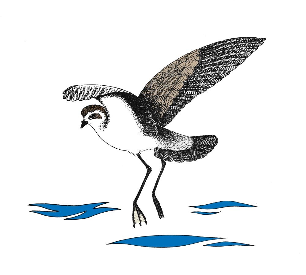
A secondary goal for this expedition is to survey seabird populations throughout the voyage. Seabird distribution is highly dependent on where their prey, such as fish and krill, are concentrated. Prey concentration is highly dependent on oceanographic conditions, which fluctuate over space and time. Large numbers of seabirds in one area are excellent indicators of ocean productivity. By observing where seabirds are in space and time, we gain a greater understanding of changing ocean conditions and can identify the more productive areas in the ocean. Seabirds are also highly sensitive to environmental change, so by understanding the health of seabird populations, we gain a clearer understanding into the health of our oceans. Identifying areas where seabirds visit regularly can also help to determine areas where marine protected areas should be established.
Team and Collaborators

Robin Beaman
Principal Investigator
Maria Seton
Co-Principal Investigator

Derya Gürer
Co-Principal Investigator

Brendan Brooke
Co-Principal Investigator

Kim Picard
Co-Principal Investigator

Jody Webster
Co-Principal Investigator

Martin Russell
Co-Principal Investigator

Eric Woehler
Co-Principal Investigator
Helen Bostock
Co-Principal Investigator
Gemma Rushton
Alysha Johnson
Rebekah Bradshaw

Will White

Kevin MacKay

Sienna Blanckensee

Colin Woodroffe
Kate Malloy
Jessica Leitmanis
Artist-at-Sea





Explore
Updates from the Ship
All Ship Updates
- 01
Art Inspiring Science - Marine Plastic Pollution
6 March 2021
Read
- 02
Women in Marine Science
11 February 2021
Read
- 03
Depth, Texture, and Three-Dimensionality - Video Update
5 February 2021
Read
- 04
The First Oceanographers: Aboriginal Connections to the Sea
4 February 2021
Read
- 05
Ocean Exploration and Training the Next Generation of Marine Scientists
28 January 2021
Read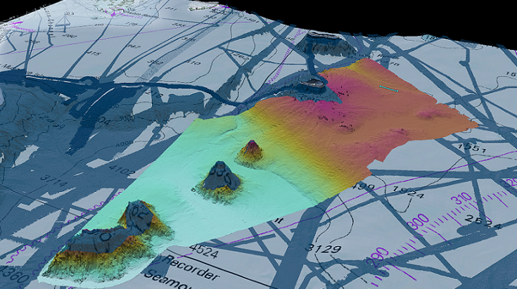
- 06
Behind the Scenes of the R/V Falkor : Cool Jobs in Cool Places
20 January 2021
Read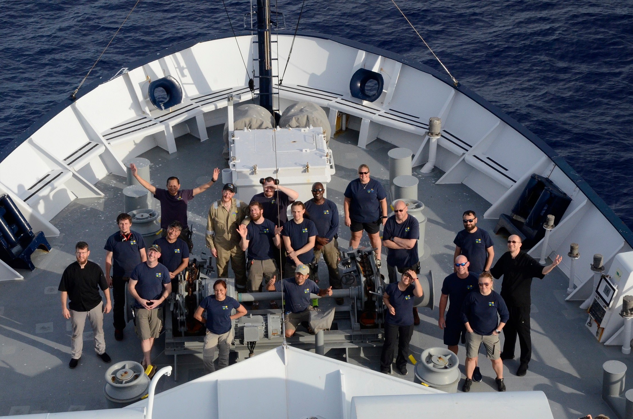
- 07
Current Affairs
15 January 2021
Read
- 08
A Circus of Clowns
12 January 2021
Read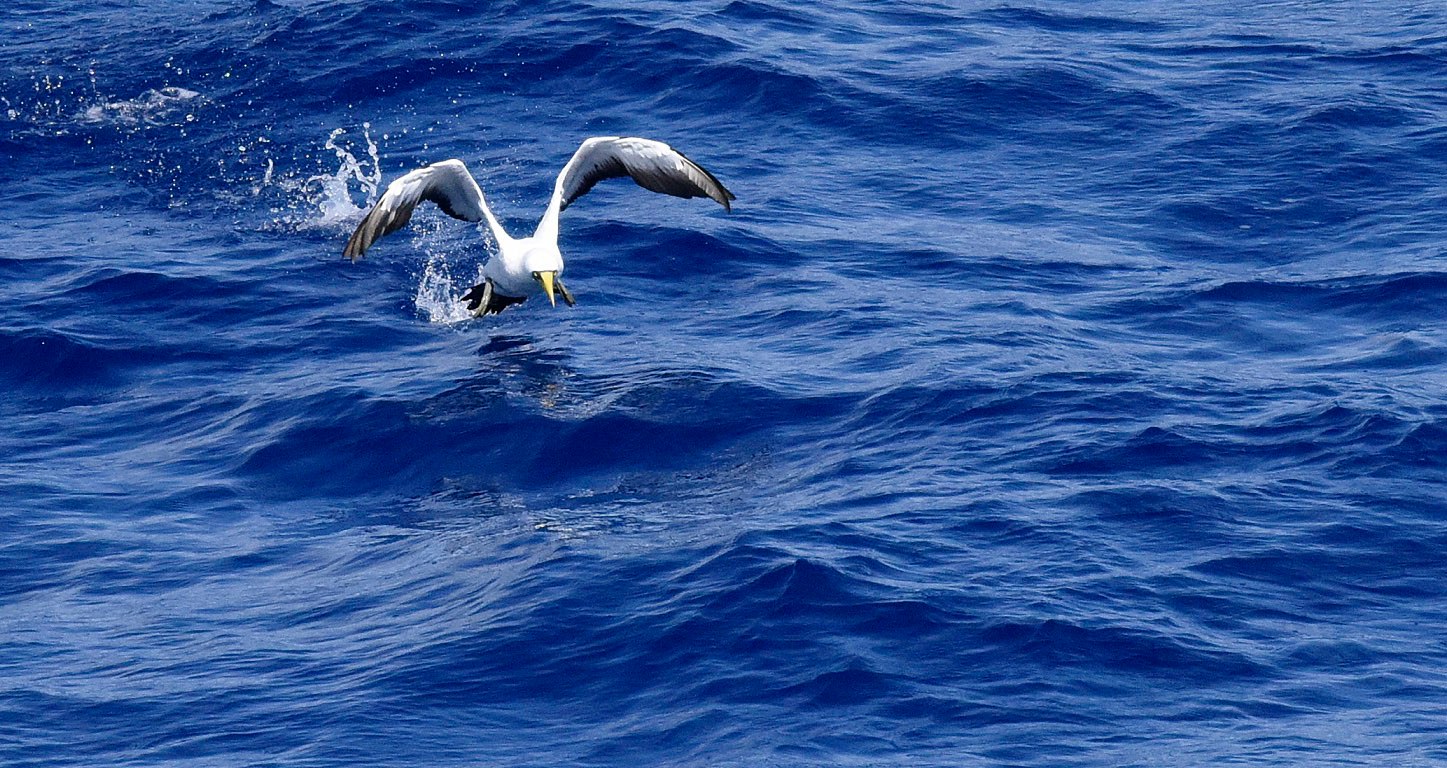
- 09
What are Seamounts and Guyots?
7 January 2021
Read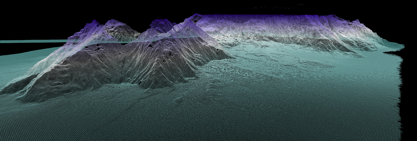
- 10
Adding to the Tectonic Puzzle of the Tasman Sea
5 January 2021
Read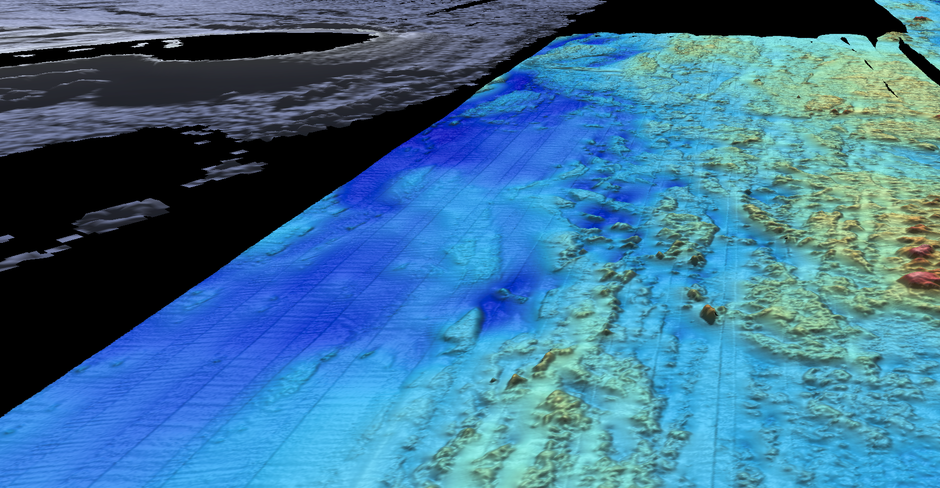
- 11
The Surface and the Submerged
1 January 2021
Read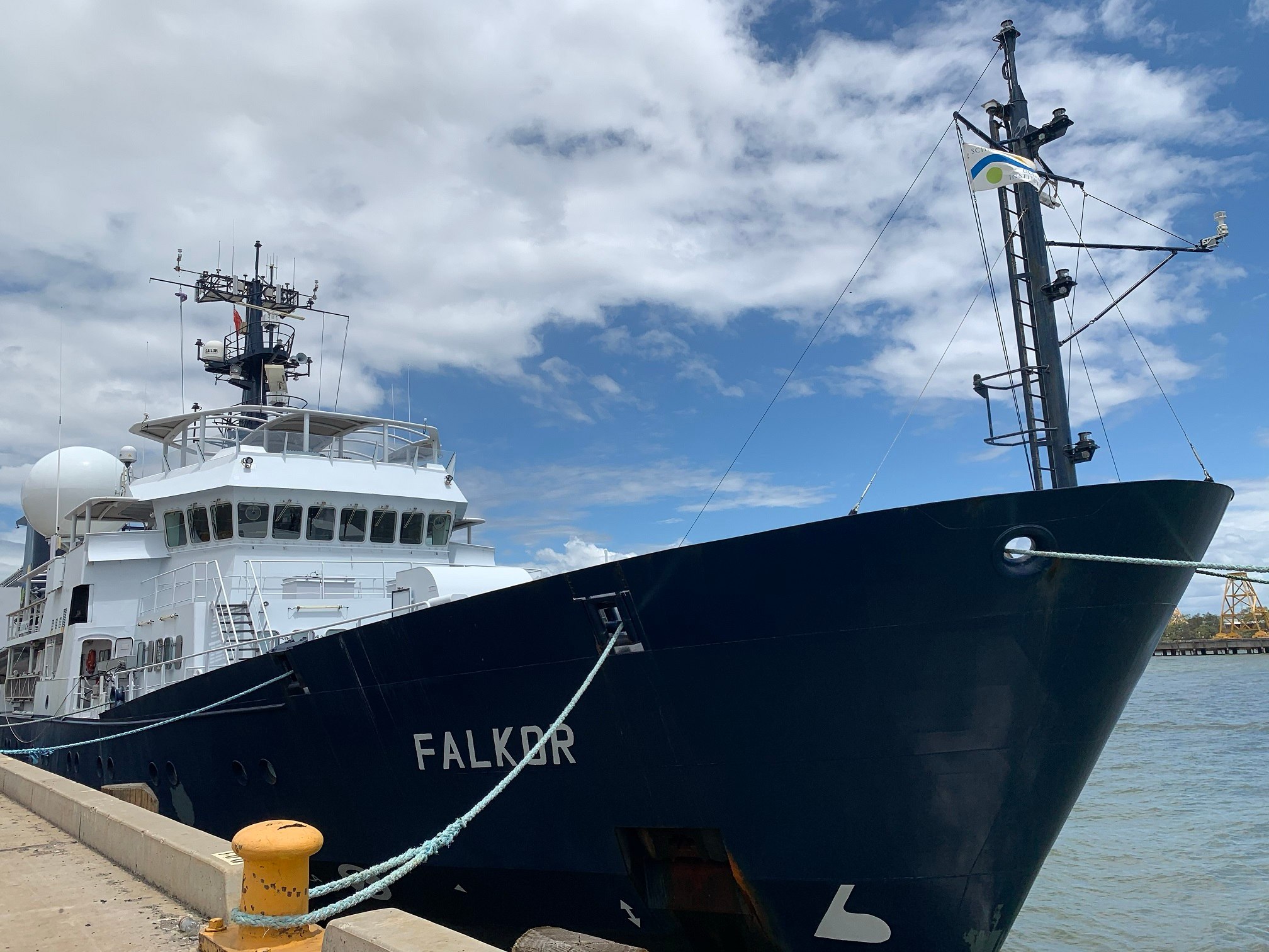
- 12
Mapping Deep into the Tasman and Coral Seas
29 December 2020
Read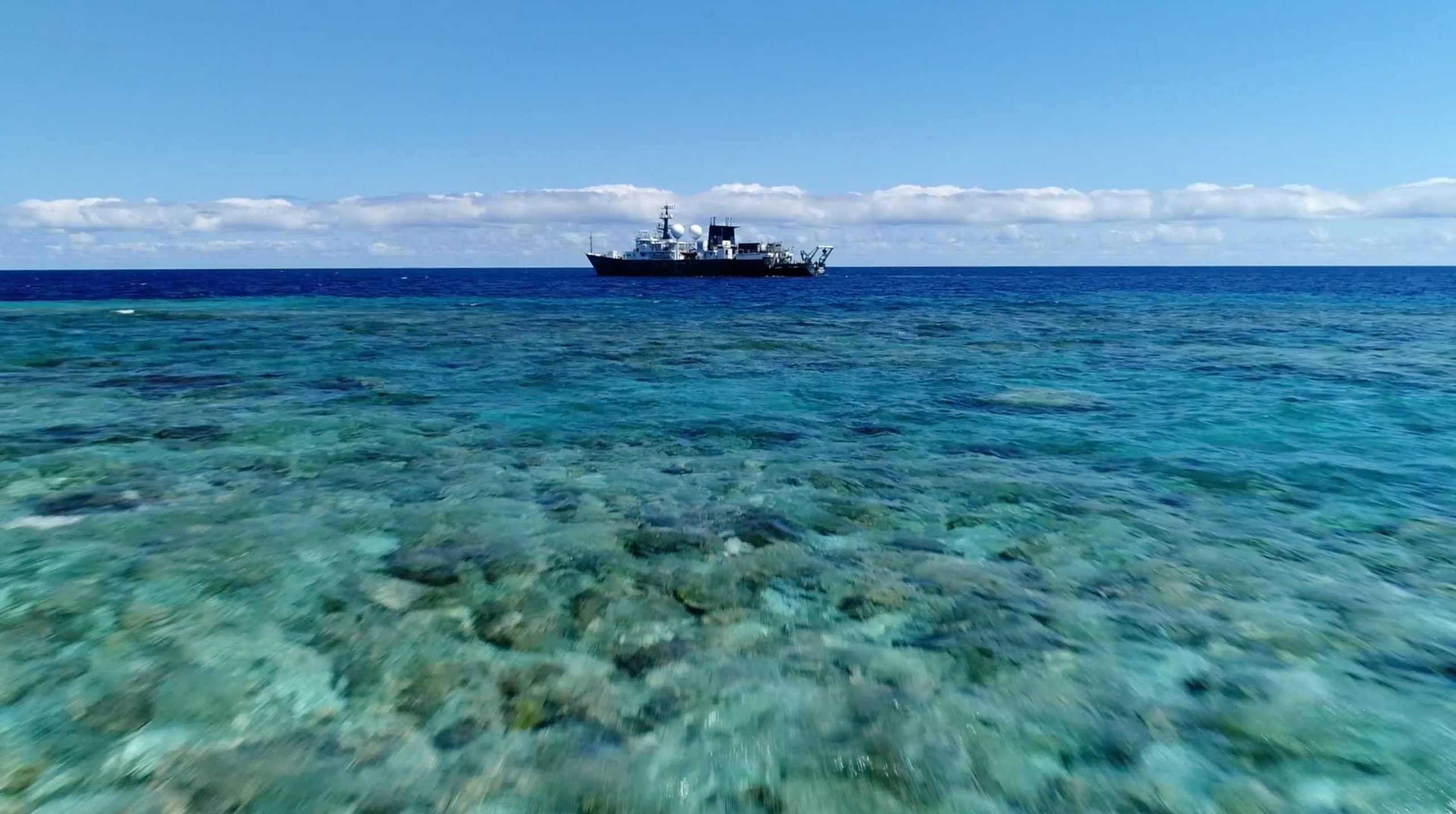
- 13
Joining the Falkor as a student? Here are some things I wish I knew before boarding.
1 January 1970
Read
Related Galleries
View AllWe are happy to offer a streamlined request process when usage falls within the parameters outlined in the Creative Commons Attribution-Noncommercial-ShareAlike 4.0 International (CC BY-NC-SA 4.0) License. However, due to our legal status as a 501(c)(3) private operating foundation, no media produced by Schmidt Ocean Institute may be used in attempting to influence legislation or lobbying.
Attribution-NonCommercial-ShareAlike | CC BY-NC-SA
Under this Creative Commons License, you are free to:
Share — copy and redistribute the material in any medium or format
Adapt — remix, transform, and build upon the material
Under the following terms:
Attribution. You must give appropriate credit, provide a link to the license, and indicate if changes were made. You may do so in any reasonable manner, but not in any way that suggests the licensor endorses you or your use.
NonCommercial. You may not use the material for commercial purposes.
ShareAlike. If you remix, transform, or build upon the material, you must distribute your contributions under the same license as the original.
Not sure this license fits your use? Head over to our Image Requests page to learn more
Discover More
Expedition Data
Title  | Type | Repository |
|---|---|---|
| Acoustic backscatter, swath bathymetry, magnetics and navigation data | Sonar Data | Marine Geoscience Data System (MGDS) |
| Seabird Observations | Other | Commonwealth Scientific and Industrial Research Organisation (CSIRO), Ocean Biodiversity Information System (OBIS) |
| ADCP Data | Oceanographic Property Data | University Hawaii Geological Sample Facility |
| Vessel Underway Data | Oceanographic Property Data | Rolling Deck to Repository (R2R) |
Publications from This Expedition
Beaman, R. (2021) Schmidt Ocean Institute R/V Falkor Australia Campaign 2020-2021. Oral Presentation and Conference Paper, Sub-Committee on Regional Undersea Mapping, General Bathymetric Chart of the Oceans, Virtual from Paris, France.
30 Day Preliminary Cruise Report: Pinging in the New Year
Johnson, A. (2021). Bathymetric Exploration of the Tasman and Coral Seas aboard the R/V Falkor. Quaternary Australasia, Vol. 38, No. 1, 11-13.
Final Project Report: Pinging in the New Year: Mapping the Tasman and Coral Seas
Beaman, R., Picard, K., and Miller, A. (2022). RV Falkor Surveys in Australia 2020-2021. Oral Presentation and Conference Paper, Hydrospatial 2021 Conference, Australasian Hydrographic Society, Cairns, Australia.
[This Article was published OPEN ACCESS]Daudt, N., Woehler, E., Schofield, M., Smith, R., Bugoni, L., and Rayment, W. (2024). Seabird Assemblages are linked to major western boundary current off eastern Australia. Progress in Oceanography, 223, doi: 10.10106/j.pocean.2024.103215.
[This Article was published OPEN ACCESS]Johnson, A., Dickson, M., Hamylton, S., and Woodroffe, C. (2025). The geomorphic evolution of the Tasmantid Seamount Chain. Marine Geology, 486, doi: 10.1016/j.margeo.2025.107560.
Johnson, A.,(2025). The Geomorphic Evolution of Oceanic Volcanoes in the Southwest Pacific. PhD Dissertation, University of Wollongong.
[This Article was published OPEN ACCESS]