



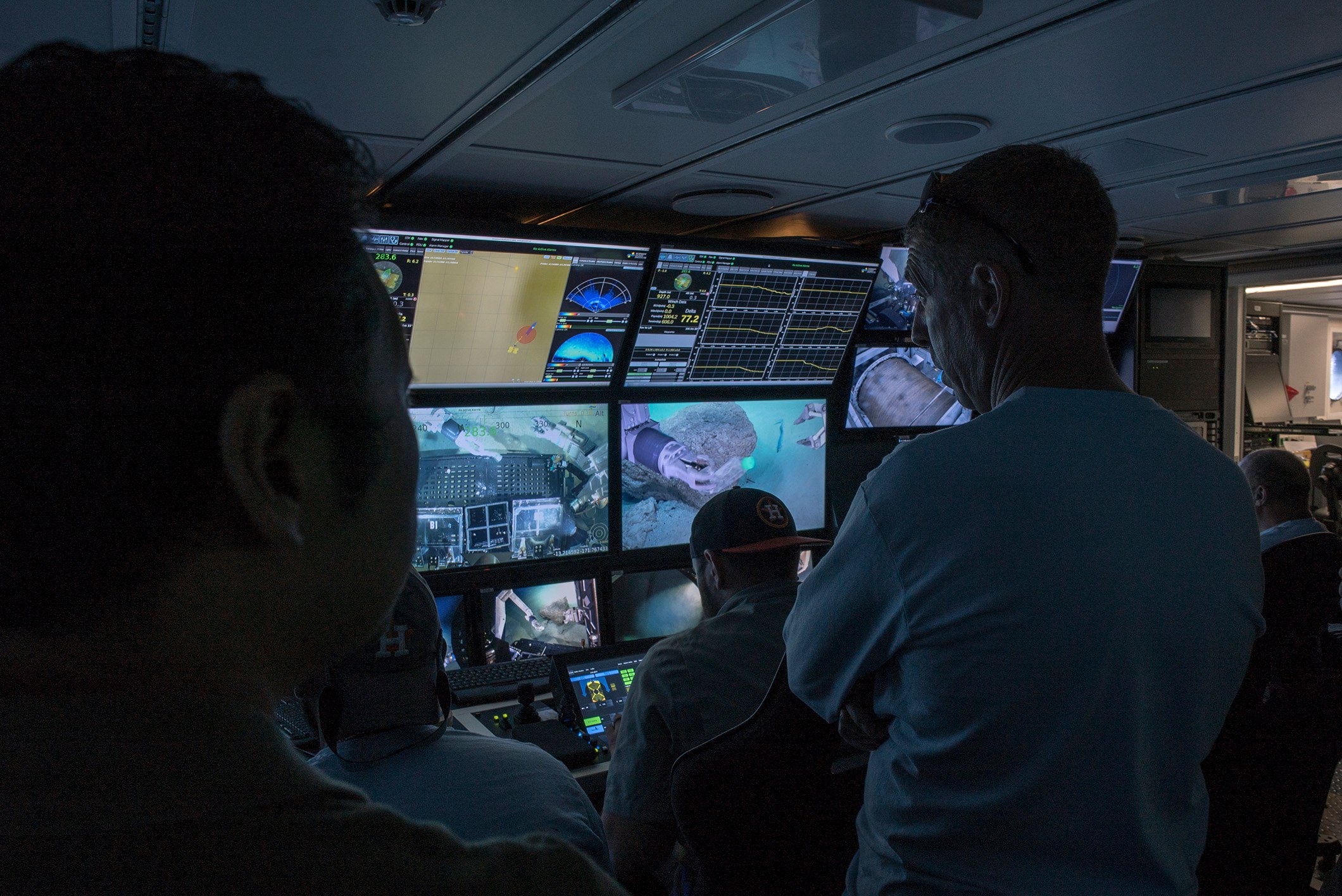

So you want to go to the seafloor. You want to go exploring, see some amazing stuff, do some interesting science, and share it with the public.OK, you have got to know what to pack, how to plan the itinerary, to know how to make the most of your time, and be ready to change your plans on the fly if you find something unexpected. This means having a good map, a series of geographic dive targets called waypoints, a team of eager observers, an idea of which tools you want on the vehicle that day, and a realistic sense of how much ground you can cover, how easy or difficult various tasks will be for the pilots to execute, and how the vehicle will likely perform in the terrain and sea conditions at the site.It is a long list.
Getting to the Water
The professional teamsthat run the major submersible programs in the world, such as the ROV group at Schmidt Ocean Institute (SOI) and their ROV SuBastian
Planning Ahead
I have had the pleasure of planning two separate ROV expeditions with Schmidt Ocean Institute this past year: the #SeaLevelSecrets
Planning for the first few dives has been split between myself and Bill Chadwick
Ready on Day One.
Our first dive is planned for the morning of the 27th (26th if you are in North America). It is a survey of new eruption sites and places with other changes at West Mata, as well as re-visits to sites we were at in 2009 and 2012 (if they are still there) to get an idea of what things look like on the ground.This includes sites highlighted in previous blog posts.We will then return to the summit on subsequent dives for some more detailed sampling, and visits to other new eruption sites at the base of the volcano. All and all we plan to make at least 20 dives.For those of us who do this often, it is a labor of love.I anticipate each dive with as much enthusiasm as the very first one I took nearly 20 years ago in the Hawaii submersible Pisces V.Discoveries await.