




Aloha readers! I’m baaack, for another oceanographic expedition on mighty R/V FalkorTransruise
This is a satellite view of the area being map, shown here inside the yellow lines.[/caption]
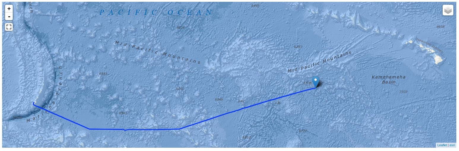
This cruise is referred to as a “transruise” by SOI. Its main function is a repositioning of the vessel after conclusion of research work in the Western Pacific to Hawaii and the U.S. West Coast where additional studies and then a shipyard period will occur. In an effort to make the long transit from Guam to Hawai‘i more productive, SOI offered a proposal call for scientists
I sail quite often on the two University of Hawai‘i (UH) research vessels, so I know them and their regular crew members quite well. Coming aboard Falkor in Guam last week, I had the same feeling. There is little turnover here, and it was nice to see many familiar smiling faces along with meeting some new ones. The crew is competent, friendly, and accommodating, which has made this nearly three-week cruise much more pleasant. One of the challenges, which may sound odd, is the number of transit days we’ve had to endure (~14), compared to the few we will actually be surveying on site (~4). Much of the work I do is around the Hawaiian Islands, and leaving from Honolulu has us working within hours to maybe 24 hours (at most) from departure. On this cruise, having ten days to prepare and occupy us is both a luxury and a curse. Given that we departed during the holidays, we were a bit further behind in preparations than usual, so the extra time aboard on the “front end” was welcome. Also, more time getting to know the education/outreach team members, who we had never met, was a bonus. Beyond that, I brought a copy of my hard drive back at the UH so I have plenty of other things to work on….or ignore!
As for how the cruise is going – so far, so good. This is our fourteenth day at sea and we still have a few days to go. We acquired multibeam data on the transit and began editing (processing) it, as well as training other people during that time. Much of the cruise track went across flat abyssal seafloor, so there were not too many features of interest at the beginning after we crossed over the Mariana Trench and entered the Pacific Basin. However, once we began passing through the Marshall Islands we entered a region of seamounts, small islands, and atolls, so the incoming data became more interesting to look at and work with.
Other aspects that kept us busy included giving presentations to the extended science team and/or or ship crew. The ship’s crew likes to have a Seminar at Sea every few days, usually from the onboard science team on a variety of topics. For example, Jonathan Tree, a recent Master of Science graduate, spoke about rocks from the seafloor and the method/history of geologic mapping. Between educating the educators, the crew, and the students and public ashore, we have turned what was to be simply a repositioning of the ship from point-to-point into what we hope is a rich and productive research and educational experience for all who choose to join the journey. I will talk more about what is especially interesting to me about this project in a future post, but for now, I’ll just say we are #Mappin’ the ‘Floor where no one has mapped before!