



Dive In
About the Expedition
Rising temperatures, ocean acidification, and overfishing have now gained widespread notoriety as human-caused phenomena that are changing our seas.
- Dive Markers
- Trackline
The Mission
Aiming to maximize the science being done at sea, Falkor will embark on its first transruise or “Research on Transit” this December, as she sails from Guam to Honolulu, Hawaii. Dr. John Smith and his team will join Falkor crew as they stop in the Pacific Remote Islands Marine National Monument 1,830 nautical miles (3,390 kilometers) southwest of Honolulu. In this remote protected area lies Johnston Atoll, the closest landmass to Hawaii, some 717 nautical miles (1,328 km) from Honolulu.
A Stepping Stone
In 2014, the Johnston Atoll Unit was expanded from 50 to 200 nautical miles, and while there have been several cruises dedicated to mapping parts of Johnston Atoll, a vast amount is unmapped, unexplored, and unknown. A large number of seamounts, ridges and other features at Johnston are saturated with unique organisms such as high-density deep-sea coral and sponge communities, as well a high concentration of deep-sea minerals. Many researchers consider Johnston Atoll a key marker in biological boundaries - a mapping waypoint for many species. It marks the southernmost range for species common in Hawaii, and is considered a stepping stone for many central and south Pacific marine species expanding their populations to the Northwestern Hawaiian Islands (also known as the Papahanaumokuakea Marine National Monument). This remote area is ripe for mapping to better inform future ROV cruises to collect data and expand knowledge for scientific research and new discoveries.
Remote Mapping
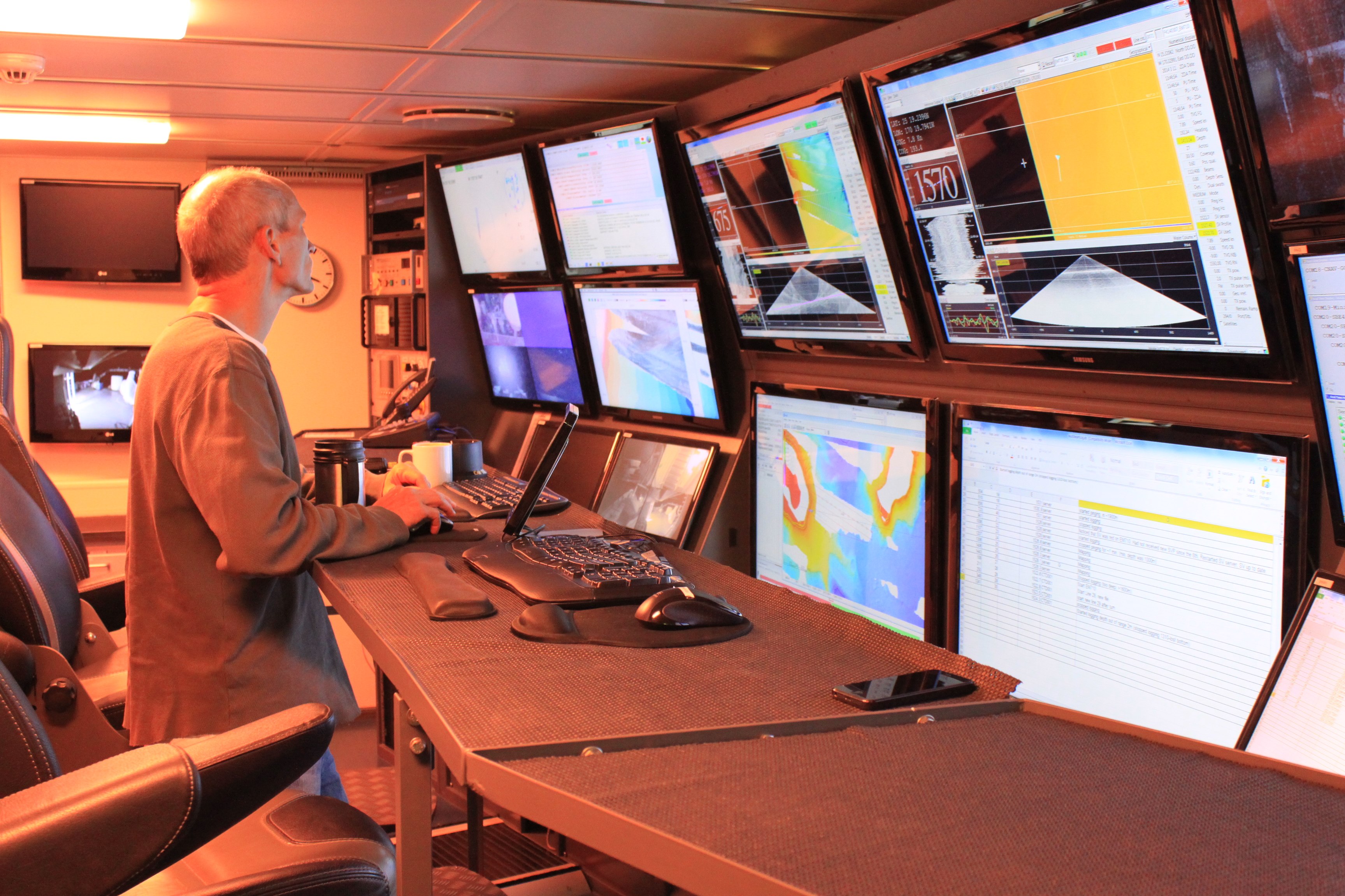
The team plans to map over 7000 km² over four days along a portion of the unmapped Johnston Seamount group, where at least three unexplored seamounts will be investigated. Scientists will perform multibeam mapping as well as sub-bottom and magnetics surveys. Falkor’s multibeam systems will be used, as well as a Compressed High Intensity Radar Pulse sub-bottom profiler (CHIRP). CHIRP uses sound frequency within the radar ‘ping’ as it moves over a range, instead of a single frequency, bringing better resolution compared to fixed-frequency sonars. Falkor will also tow a magnetometer to collect magnetics surveys along the sub-seafloor.
With data from these sensors and tools onboard, the team will be using Falkor’s supercomputing resources to combine this newly-discovered information with existing data and maps. The results will be provided to the research community and public. The NOAA Ship Okeanos Explorer has two expeditions planned for 2017, and these opportunities can be maximized with the maps and information gathered during our research cruise prior, with data sharing resulting in more productive dives.
Sharing the Knowledge
Unique to this mission, the science team will include two participants from Schmidt Ocean Institute's sister organization, 11th Hour Racing. A father son team, Brock Callen Sr., 11th Hour sponsorship partner, and Brock Callen Jr. an 11th Hour Racing Ambassador, will learn first-hand about research as sea, applying their maritime sciences, sailing and sports background experience. Encapsulating connections in conservation and ocean health, the “Brocks” will bring different ends of the maritime spectrum together through ship-to-shore connections with classrooms and athletes alike.
Accompanying them will be Artist-at-Sea participant Lucy Bellwood, author of the educational graphic novel Baggywrinkles: a Lubber's Guide to Life at Sea, will help bring the mission to life through her illustration and comics work. Educator Jena Kline will also be on board, writing lesson plans for high school classrooms based on the research completed at sea, along with Student Opportunities applicant and University of Guam graduate student Andrew Kang.Written By Logan Mock-Bunting and Carlie Wiener

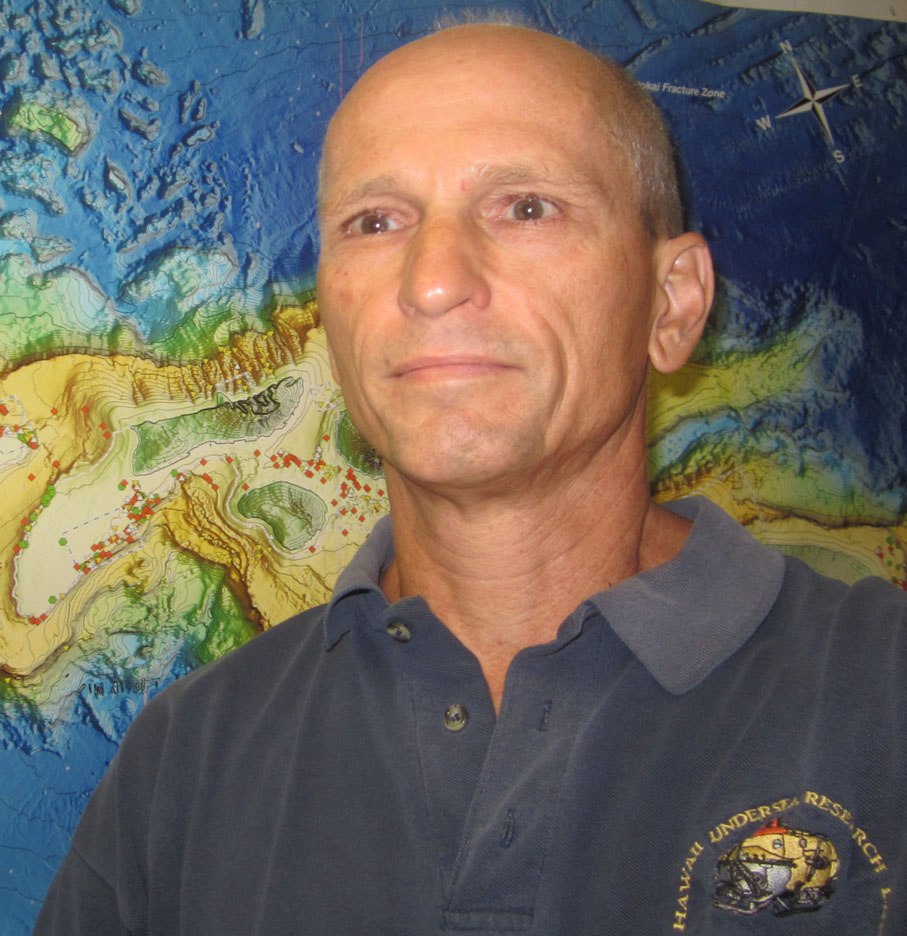
Team and Collaborators





Explore
Updates from the Ship
All Ship Updates
- 01
Closing Video - Eyes Below the Surface: Mapping Johnston Atoll
21 January 2017
Read
- 02
This Is How We Move Forward
20 January 2017
Read
- 03
A Student at Sea ~ Troubleshooting
19 January 2017
Read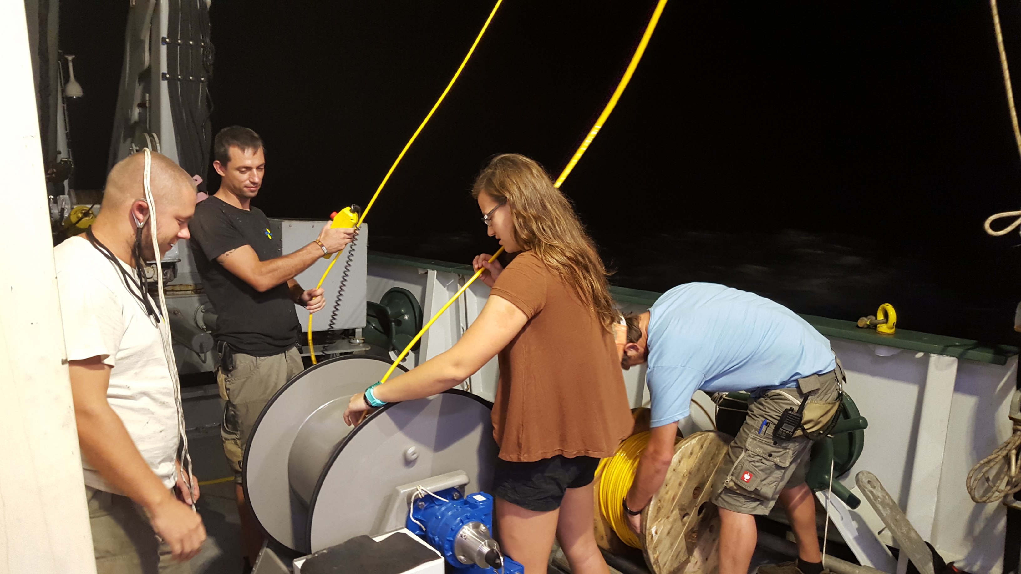
- 04
Drawing You into Ocean Exploration with Multibeam
18 January 2017
Read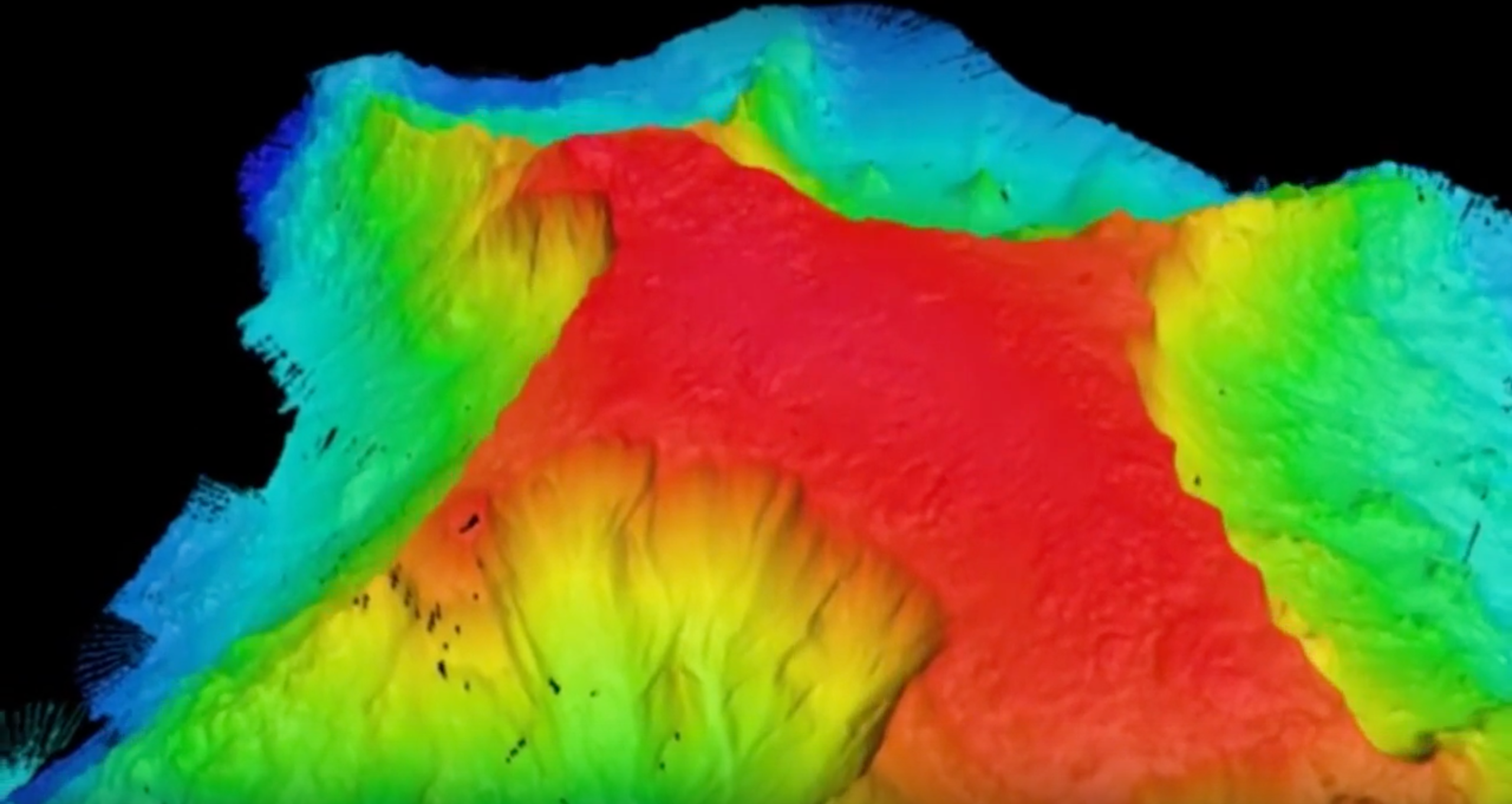
- 05
Takeaways and Reflections
16 January 2017
Read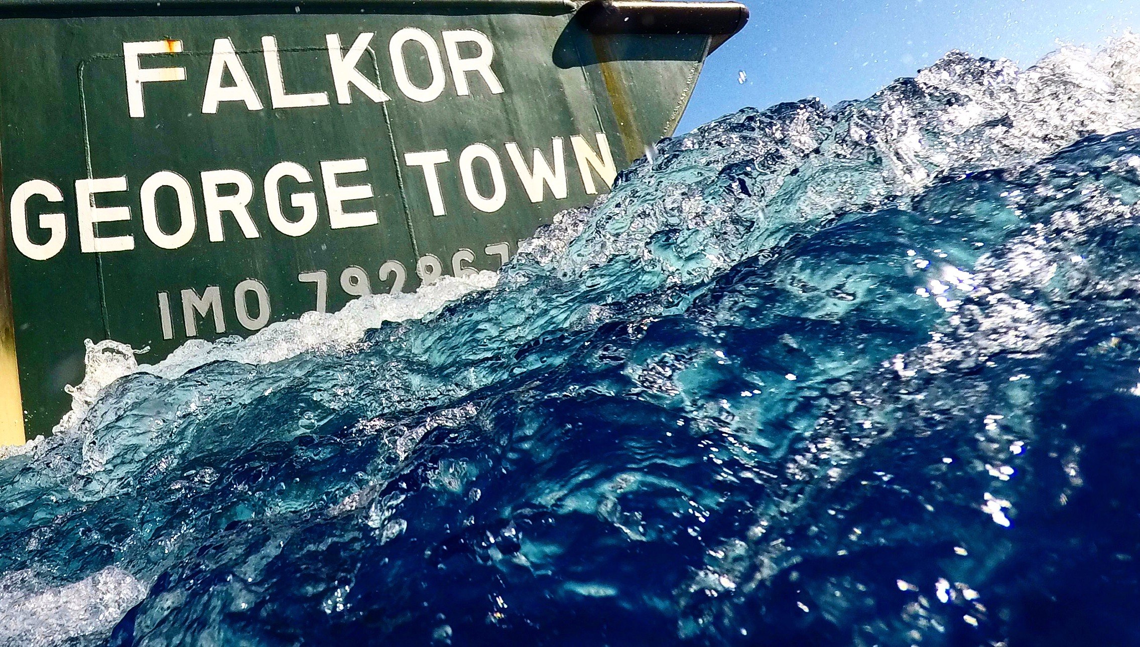
- 06
Notes From The Drawing Board
15 January 2017
Read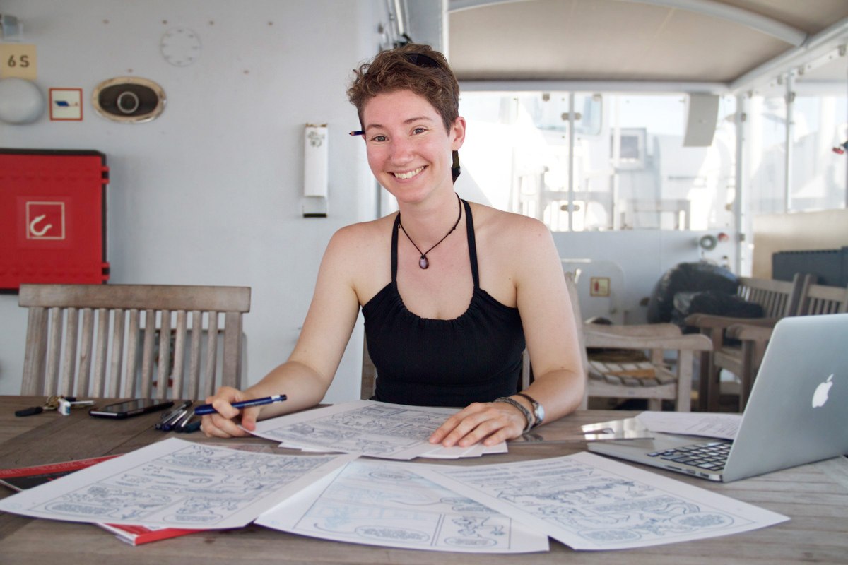
- 07
Making Connections
15 January 2017
Read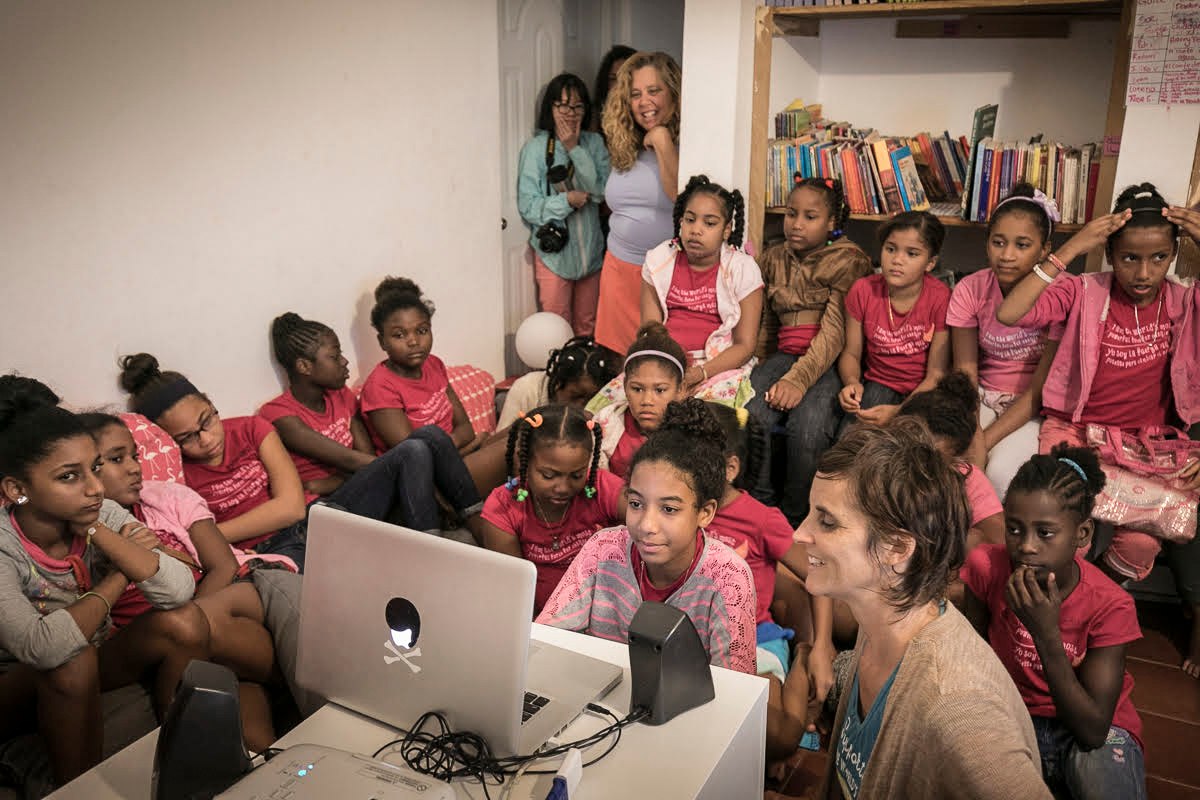
- 08
Back for More Beaming
14 January 2017
Read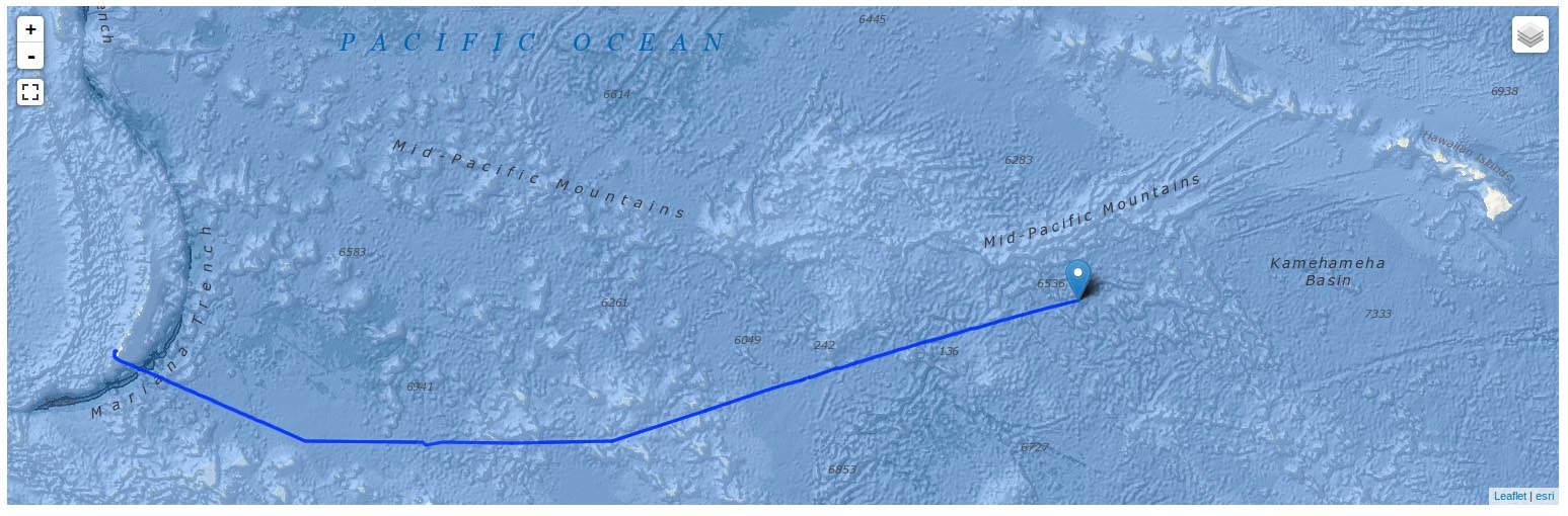
- 09
Five Voices from the Pacific
12 January 2017
Read
- 10
The Deep End
11 January 2017
Read
- 11
Why am I out here?
10 January 2017
Read
- 12
Week 1 Video - Eyes Below the Surface: Mapping Johnston Atoll
8 January 2017
Read
- 13
The Ocean as a Classroom
7 January 2017
Read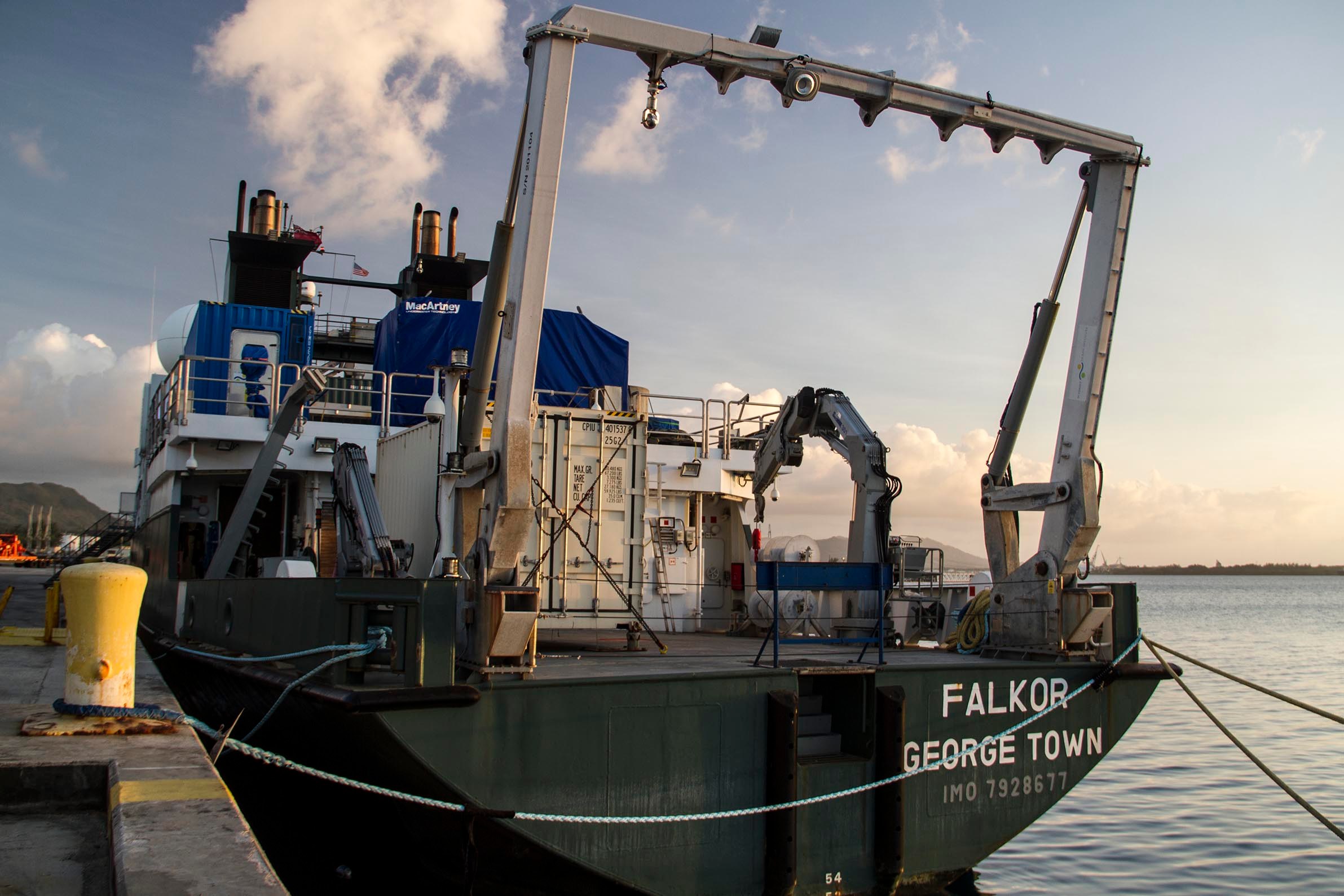
- 14
The Ocean Rocks!
7 January 2017
Read
- 15
Drawing From A Life at Sea
6 January 2017
Read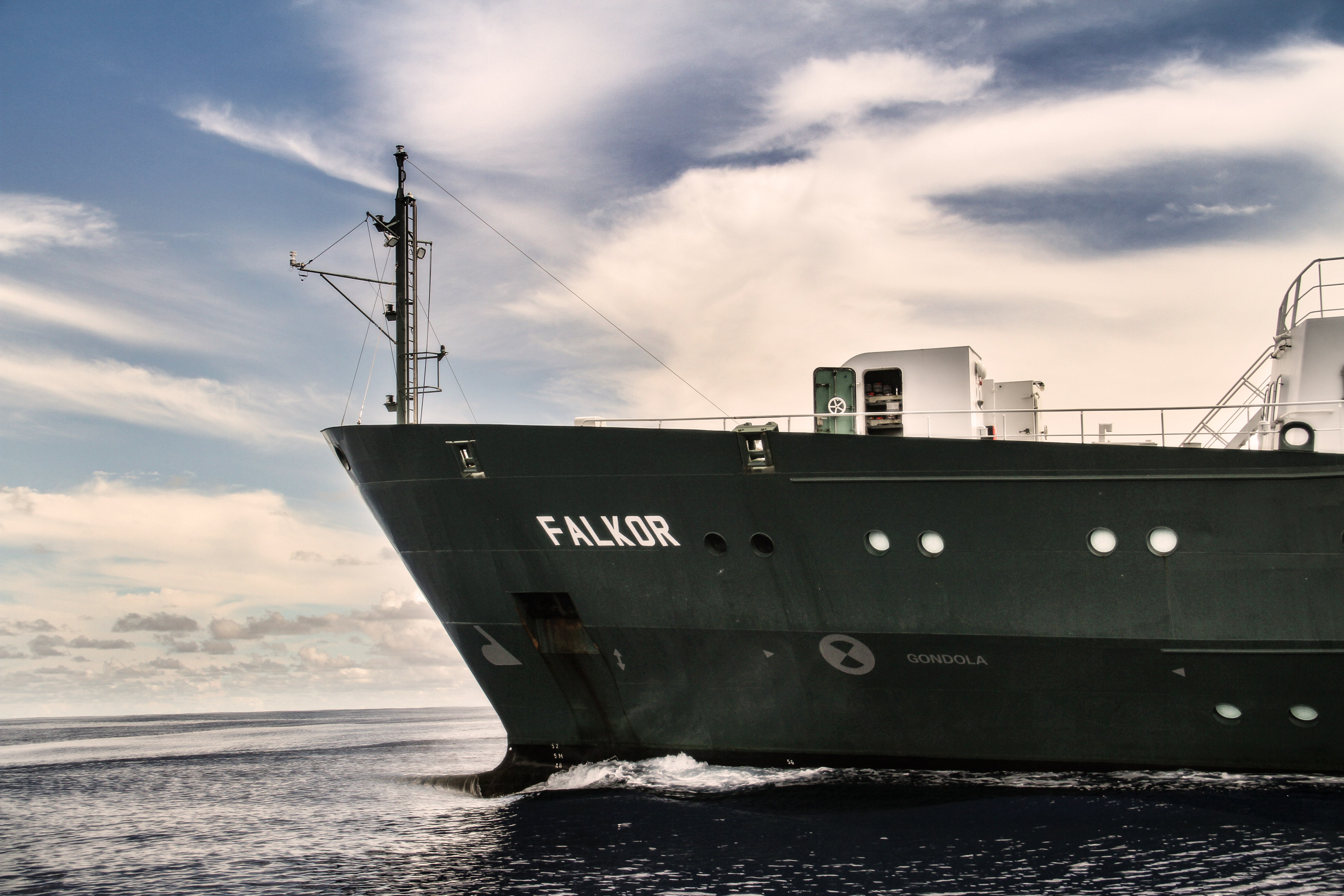
- 16
A Lifetime Underwater
4 January 2017
Read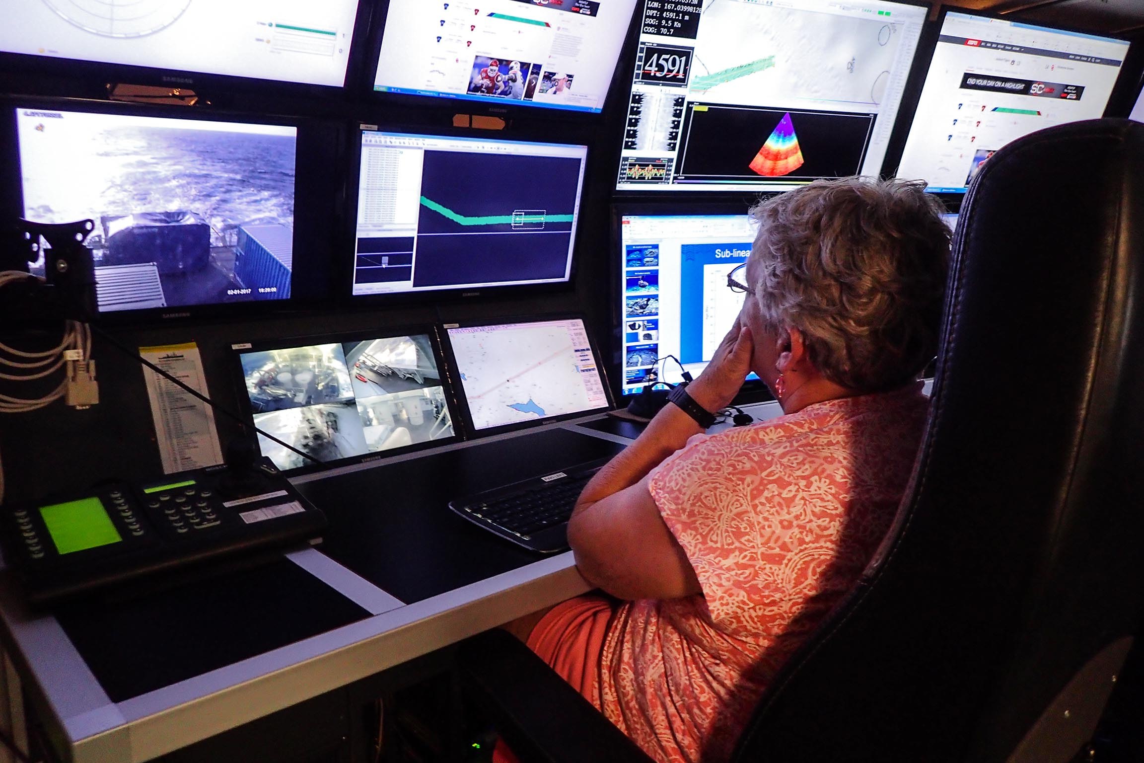
- 17
Preparing for Mapping the Marine National Monument
3 January 2017
Read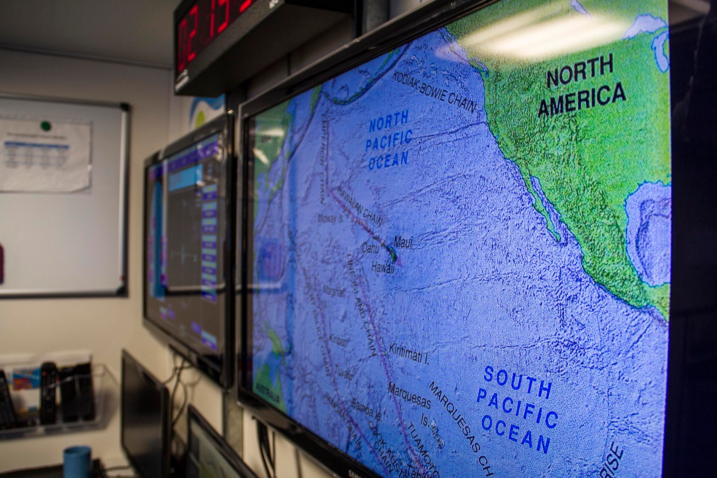
- 18
A Student at Sea
1 January 2017
Read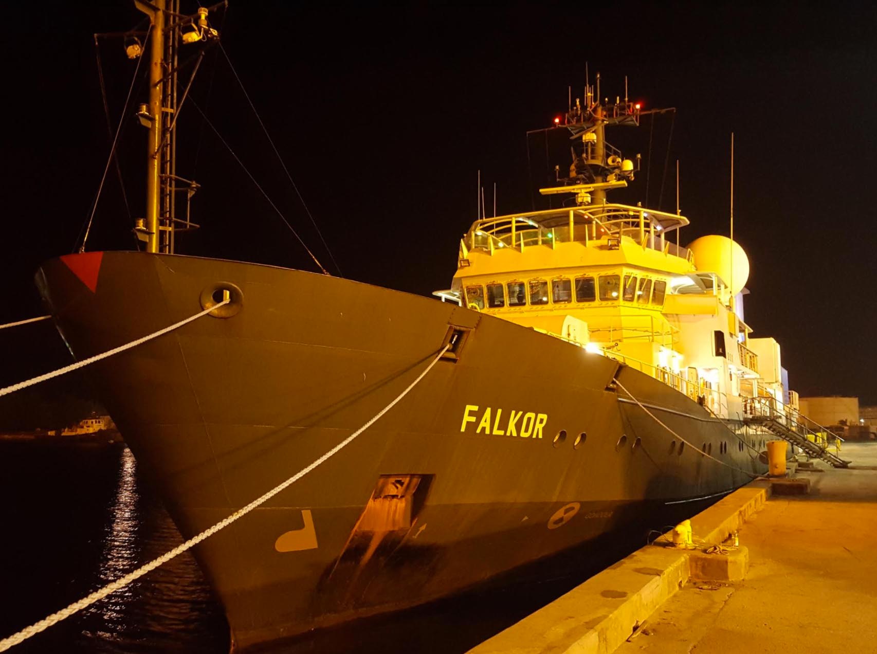
- 19
A Ship Full of Storytellers
31 December 2016
Read
Divestreams
View all DivestreamsWeekly Videos
View all Weekly Videos

Discover More
Expedition Data
Title  | Type | Repository |
|---|---|---|
| Processed bathymetry and Sidescans | Sonar Data | Marine Geoscience Data System (MGDS) |
| Processed magnetic data | Oceanographic Property Data | Marine Geoscience Data System (MGDS) |
| Intrepretative geologic maps and substrate analysis | Mapping Data | Other |
| 3D Map of Prime Study Area | Mapping Data | Schmidt Ocean Institute (SOI) |
| Vessel Underway data | Oceanographic Property Data | Rolling Deck to Repository (R2R) |
| Bathymetry and Sidescan data | Sonar Data | Marine Geoscience Data System (MGDS) |
| Mapping Summary and Interpretative Maps | Mapping Data | Schmidt Ocean Institute (SOI) |
| Multibeam synthesis map | Sonar Data | Schmidt Ocean Institute (SOI) |
Publications from This Expedition
Tree, J., Smith, J., Miller, J., and A. Kang. (2017). Detailed Geological Mapping Exposes Complex Eruptive History and Fundamentally Different Relative Ages of Newly Surveyed Seamounts within the Johnston Atoll Unit of the Pacific Remote Islands Marine National Monument Oral Presentation at Geological Society of America, Honolulu, HI, USA, doi: 10.1130/abs/2017CD-292568.
Final Cruise Report: Eyes Below the Surface: Mapping Johnston Atoll
Smith, J. (2018). Collaborative Seamount Studies in the Johnston Atoll Marine Monument. Oral Presentation, University of Hawaii seminar series, Honolulu, HI, USA.
Smith, J. (2018). Geological Mapping of Seamounts and Other Features in the Pacific Marine Protected Areas. Oral Presentation, NOAA Inouye Regional Center distinguished lecture series, Honolulu, HI, USA.
Smith, J. (2017). What Lies Beneath? Mapping the Marine Monuments of the Pacific. Public Lecture, Hanauma Bay Educational Lecture Series, Honolulu, HI, USA.