


0 results for
- Type in the search bar to begin searching the site.

Expeditions
In the coming years, our expeditions will explore understudied regions around all seven continents in our global Ocean.
Latest Expedition
See all
Programs
From grants for caregivers to an artist-at-sea residency, our programs strive to deepen knowledge and inspire a connection with our planet’s life support system.
Latest Expedition
See all
Science Team Resources
To help you plan for your expedition, this hub includes information about outreach, technical specifications for our robotic platforms, a list of lab equipment, information about accessing data repositories, and more.
Latest Expedition
See all
- Our Team

Expeditions & Roles
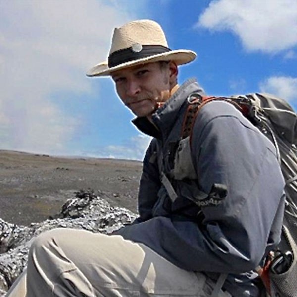
Jonathan Tree
Jonathan Tree is a marine geoscience data technician at the University of Hawai‘i at Mānoa where he also graduated with a Master’s degree in Geology and Geophysics. Continuing work in the same region as his master’s research, the Northwestern Hawaiian Islands, he is currently developing the first detailed geological interpretation map of the submarine flanks of the oldest Hawaiian volcanoes. His work relies heavily on high-resolution multibeam bathymetry and backscatter datasets like the data on this research cruise, as well as the data acquired on the FK161229 expedition, which was his first opportunity to visit the Johnston Atoll region. This will be his fourth expedition on the R/V Falkor and his third visit to the Hawaiian-Emperor volcanic chain. During this time at sea, he will be assisting his colleagues with multibeam data acquisition, processing, and interpretation. In addition to imaging the seafloor, Jonathan will also be working with the marine geophysical dataset that we are collecting along the multibeam data using a gravimeter and a magnetometer. The gravimeter measures small changes in the gravitational changes, while a magnetometer measures small changes in the magnetic field - these instruments help reveal non-visual information about the interior of the volcanoes we’re surveying.