



Dive In
About the Expedition
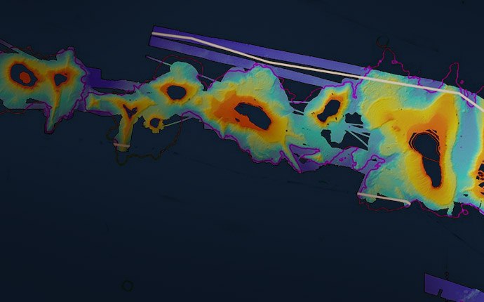
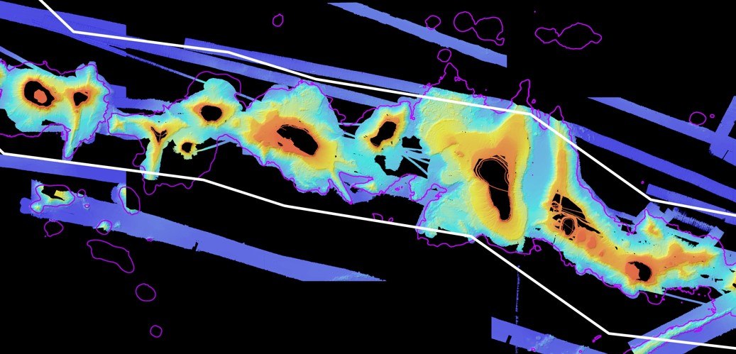
The Papahānaumokuākea Marine National Monument mapping project will be spread over two legs to identify likely sites of deep-sea coral beds, manganese crust zones, and other key features.
- Dive Markers
- Trackline
The Mission
The second leg of the Papahānaumokuākea Marine National Monument mapping project ran from May 2nd to June 6th. To learn more about the research, please visit the cruise.
Team and Collaborators





Explore
Updates from the Ship
All Ship Updates
- 01
Five Weeks Below the Hull
5 June 2014
Read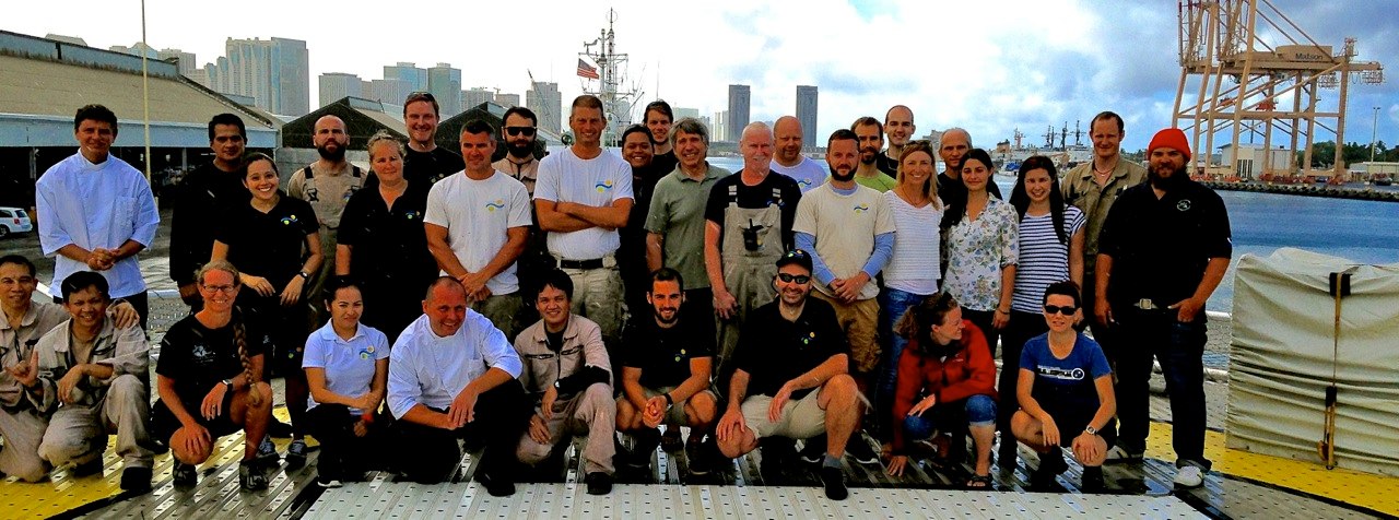
- 02
Reflections on the Seafloor: Multibeam Backscatter
29 May 2014
Read
- 03
Creating Vision from Sound
27 May 2014
Read
- 04
Mowing Gardner's Garden
22 May 2014
Read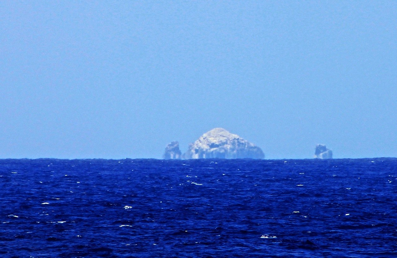
- 05
A Ridge of Monumental Proportions
18 May 2014
Read
- 06
Seamounts Have Magnetic Personalities
13 May 2014
Read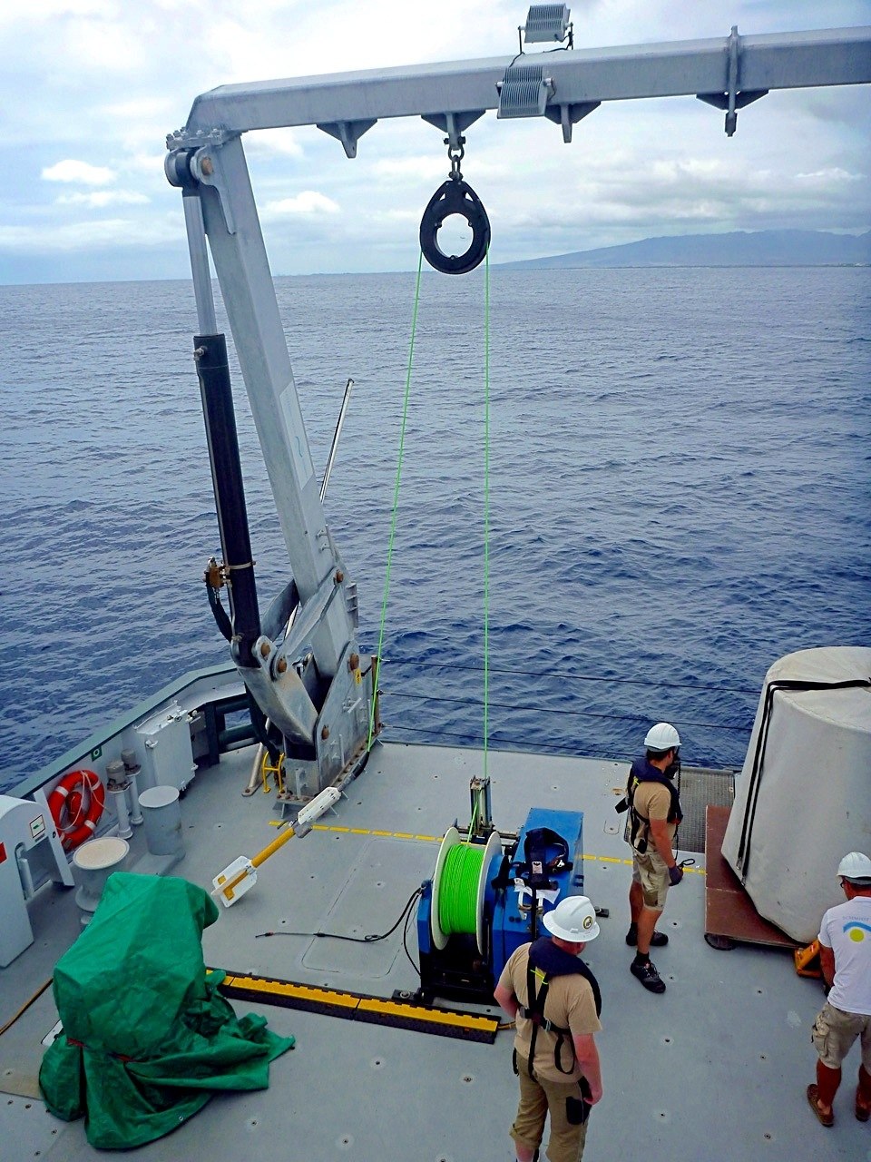
- 07
A Historical View
8 May 2014
Read
- 08
More of a Good Thing
3 May 2014
Read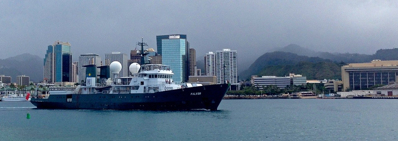
Discover More
Expedition Data
Title  | Type | Repository |
|---|---|---|
| Raw bathymetry and backscatter | Sonar Data | Marine Geoscience Data System (MGDS) |
| Processed bathymetry | Sonar Data | Marine Geoscience Data System (MGDS) |
| Processed backscatter | Sonar Data | Marine Geoscience Data System (MGDS) |
| Synthesis of new and existing bathymetry | Sonar Data | Pacific Islands Ocean Observing System |
| Raw and processed mutlibeam data | Sonar Data | Marine Geoscience Data System (MGDS) |
| Bathymetric grids | Sonar Data | Marine Geoscience Data System (MGDS) |
| Vessel Underway data | Oceanographic Property Data | Rolling Deck to Repository (R2R) |
Publications from This Expedition
Kelley, C. 2015. The Strange and Wonderful Seafloor of the Papahanaumokuakea Marine National Monument: New Maps and New Insights from 72 days on the Falkor. Guest Lecturer, Maui Ocean Center, Maui, Hawaii, USA.
Kelley, C. 2015. New Insights from Seafloor Mapping of a Hawaiian Marine Monument. EOS, 96. DOI: 10.1029/2015/EO030235.
Cruise Report: Revealing Papahanaumokuakea
Kelly, Chris. 2014. 72 Days on the Falkor: New Maps and New Insights on the Seamounts and Banks in the Papahanaumokuakea Marine National Monument. Seminar Presentation for the Hawaii Institute of Marine Biology, University of Hawaii, 3 September 2014.
Shapiro, M. 2015. Rediscovering the Northwest Hawaiian Ridge. Invited presentation at the Hawaiian Volcano Observatory Kilauea Volcano. Volcano, HI.
Cooper, Caroline and Sautter, Leslie. (2016). Geomorphic Analysis of Deep Coral Habitat in the Kaiwi Channel, Hawaiian Islands. Poster Presentation, Ocean Sciences Meeting, New Orleans, LA, USA.
Foxworth, Lance and Sautter, Leslie. (2016). Deep Coral Habitat Characterization of the North End of Raita Bank, Papahanaumokuakea Marine National Monument in the Northwestern Hawaiian Islands. Poster Presentation, Ocean Sciences Meeting, New Orleans, LA, USA.
CAPSTONE: 2015 Hohonu Moana: Exploring Deep Waters off Hawaiʻi Bathymetry and Remotely Operated Vehicle (ROV) dive locations from four NOAA Ship Okeanos Explorer cruises Map created by NOAA Office of Ocean Exploration and Research (OER). Background data Source: Esri, DigitalGlobe, GeoEye, Earthstar Geographics, CNES/Airbus DS, USDA, USGS, AEX, Getmapping, Aerogrid, IGN, IGP, swisstopo, and the GIS User Community.
Bingo, S., Kelley, C., Putts, M., and Moriwake, V. (2018). Identifying and Characterizing High-Density Coral and Sponge Communities on Deep Seamount Ridges Within Papahānaumokuākea Marine National Monument. Oral Presentation, Symposium on Science in Support of Archipelagic Management, Honolulu, HI, USA.
Smith, J. and J. Tree. (2018). New Marine Geological Maps for the Northwestern Hawaiian Ridge promote a detailed reexamination of giant landslides and their source volcanoes within a 25 Myr context. Oral Presentation, AGU Fall Meeting, Washington, D.C.
Smith, J. and J. Tree. (2018). New Marine Geological maps reveal the complexity and deep-sea habitability of the northwestern Hawaiian Ridge. Oral Presentation, Symposium on Science in Support of Archipelagic Management, Honolulu, HI, USA.
Smith, J. (2018). Geological Mapping of Seamounts and Other Features in the Pacific Marine Protected Areas. Oral Presentation, NOAA Inouye Regional Center distinguished lecture series, Honolulu, HI, USA.
Smith, J. (2017). What Lies Beneath? Mapping the Marine Monuments of the Pacific. Public Lecture, Hanauma Bay Educational Lecture Series, Honolulu, HI, USA.
Garcia, M., Tree, J., Wessel, P., and J. Smith. (2020). Puhahonu: Earth's biggest and hottest shield volcano. J. Earth and Planetary Science Letters, 542, doi: 10.1016/j.epsl.2020.116296. [This article is OPEN ACCESS until June 26].
[This Article was published OPEN ACCESS]