


0 results for
- Type in the search bar to begin searching the site.

Expeditions
In the coming years, our expeditions will explore understudied regions around all seven continents in our global Ocean.
Latest Expedition
See all
Programs
From grants for caregivers to an artist-at-sea residency, our programs strive to deepen knowledge and inspire a connection with our planet’s life support system.
Latest Expedition
See all
Science Team Resources
To help you plan for your expedition, this hub includes information about outreach, technical specifications for our robotic platforms, a list of lab equipment, information about accessing data repositories, and more.
Latest Expedition
See all
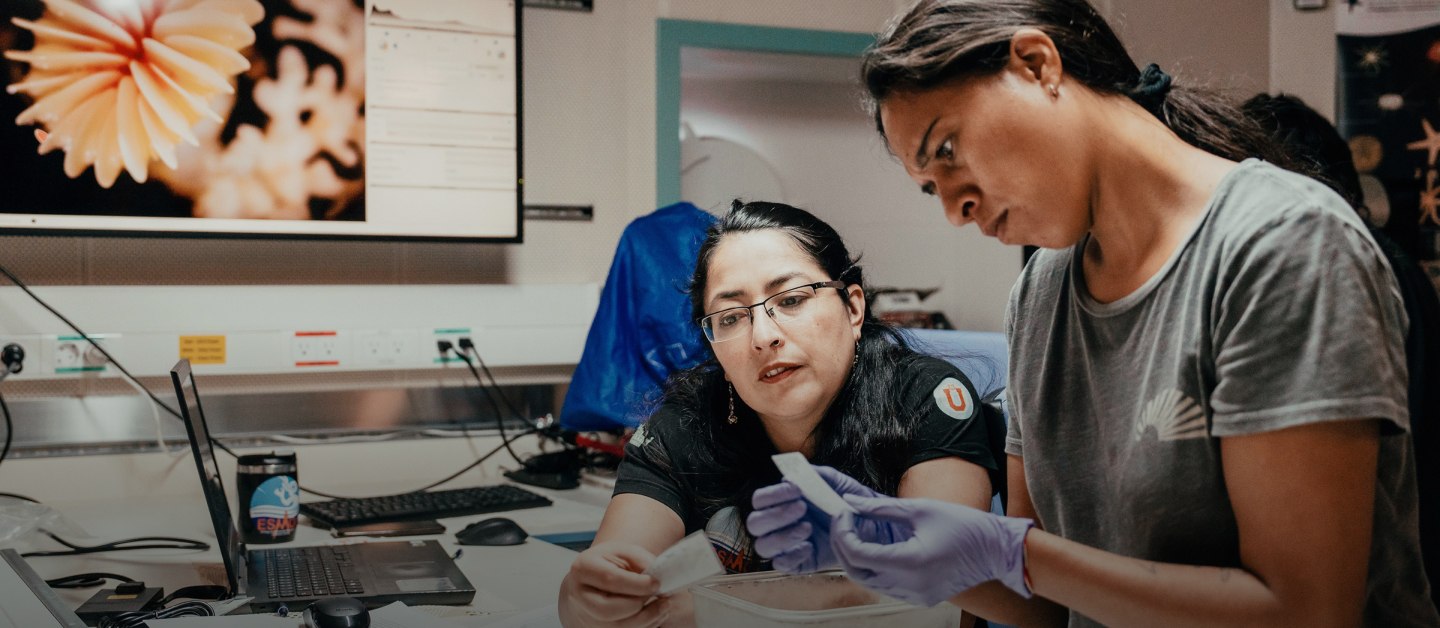
- Our Team

Expeditions & Roles
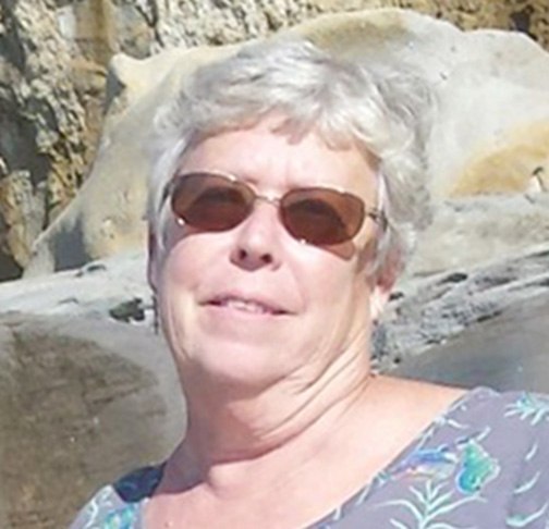
Joyce Miller
Joyce Miller served as Director of Seafloor Data Services for the Hawaii Mapping Research Group from 2012 until her semi-retirement in June 2015. She still participates in seafloor mapping cruises and is vice chair of the National Oceanic and Atmospheric Administration’s (NOAA) Hydrographic Services Review Panel. From 2001 to 2011 she worked with NOAA’s Coral Reef Conservation Program at the Pacific Islands Benthic Habitat Mapping Center, leading the NOAA multibeam mapping effort in the 50 U.S.-affiliated Pacific islands. Over the past 15 years she and her colleagues have contributed much of the bathymetric data currently available around these 50 islands, including Johnston.