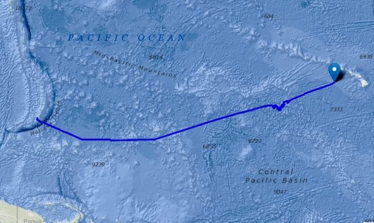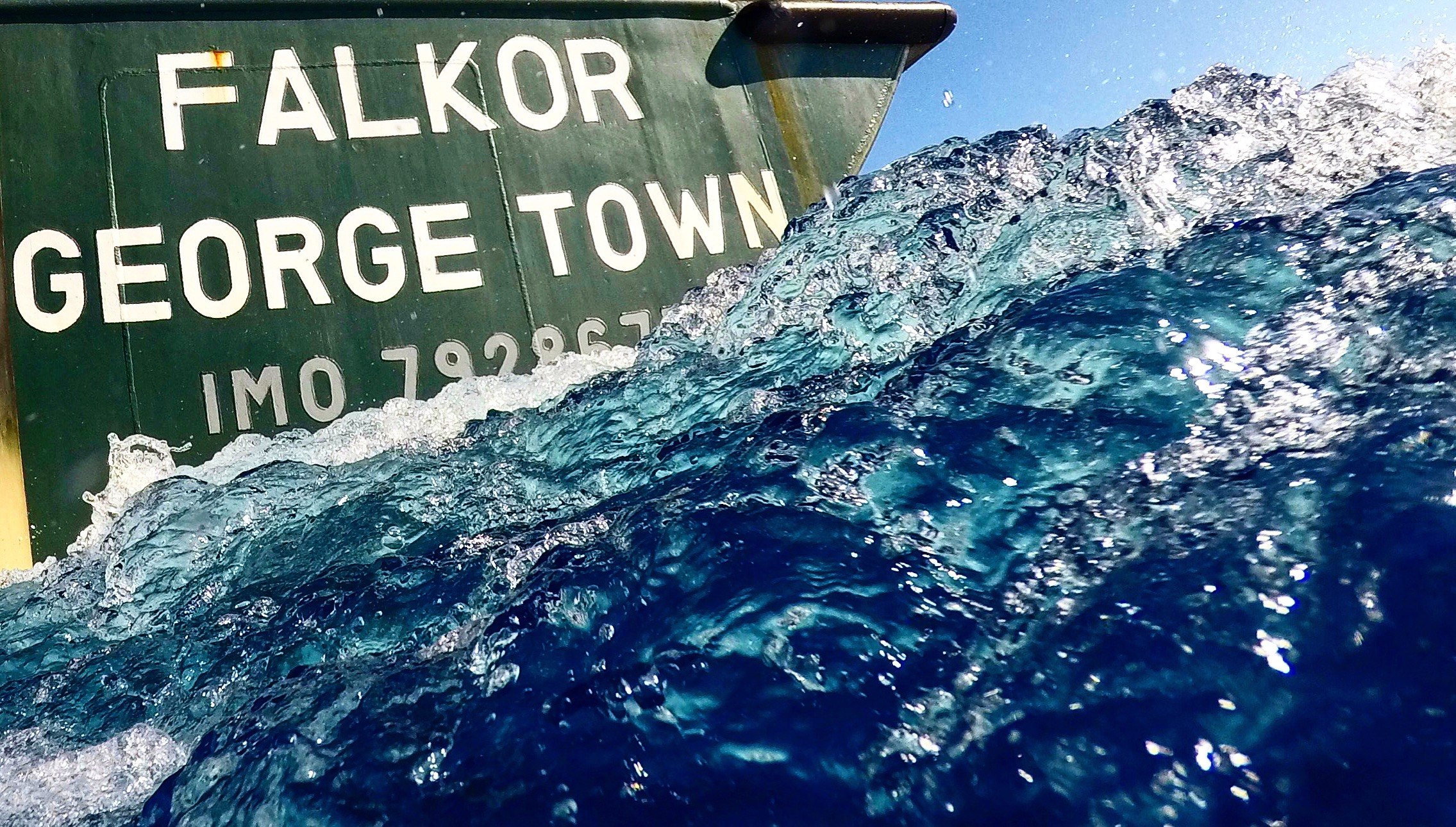

This blog was written on Friday, January 13th around 3:30 in the afternoon. We are back on the western side of the International Dateline, so we are again on the same day as the Vineyard. A little before noon today we finished mapping six heretofore un-mapped seamounts in the southwest corner of the Johnston Atoll Marine National Monument and are now beginning the 800 nautical mile transit to Honolulu where we will disembark. There is a beautiful long four meter swell running from the Northwest with a relatively gentle trade wind blowing out of the northeast. The period (the time between the peaks of two swells) is over ten seconds which simply means this is a great ride on a beautiful afternoon.
Brock, Jr. and I with cameos by members of the crew and other outreach staff on board have done seventeen classes with not only Vineyard elementary and high school classrooms, but also classrooms in Maryland, South Carolina and the Dominican Republic. To see and hear the enthusiasm in these students and to be able to respond to their questions livestream has been wonderful. By the way don’t ever cut third graders short. Their energy and their enthusiasm were spectacular! We have also been integrally involved in the science on board, serving watches in the Science Lab, editing data that is being collected by the multi-beam sonar and backscatter imaging equipment. Talk about new skills and understanding!