




Para una versión Español del este blog, por favor haga clic aquí
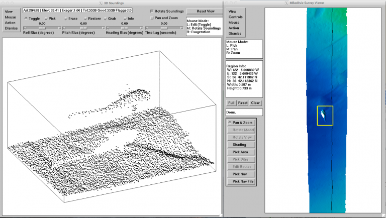
At the end of the day (and thanks to many navigation tools) we produce a map that shows extremely high detail of the area that we flew around. Each sensor has a different resolution: the cameras are 5-millimeters, the sonar about 5-centimeters, and the lidar is near 1-centimeter between measurements. That lets us come close to counting polyps on corals or measuring the size of the opening on a vent. Keep in mind we are doing this over many hours, so these final maps are enormous in their overall scale.
Sitting in front of one of these massive surveys is akin to visiting a gigapixel image
This expedition is the culmination of many years of work to specify, assemble, develop, and refine these tools. I am thankful that we have the opportunity to come to Pescadero Basin and use them. But we are scientists and engineers, there is no time to sit on our laurels. For some of us, there is a mountain of data to process. For others, we look forward to how else we can improve or expand the capabilities of this system. Someday, we hope to put all of these sensors on an AUV