



Dive In
About the Expedition
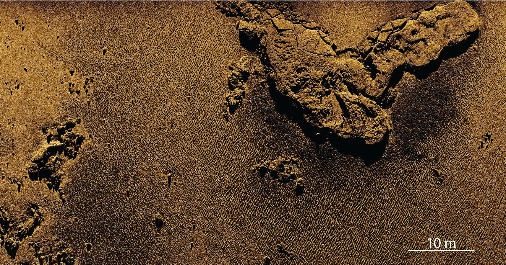
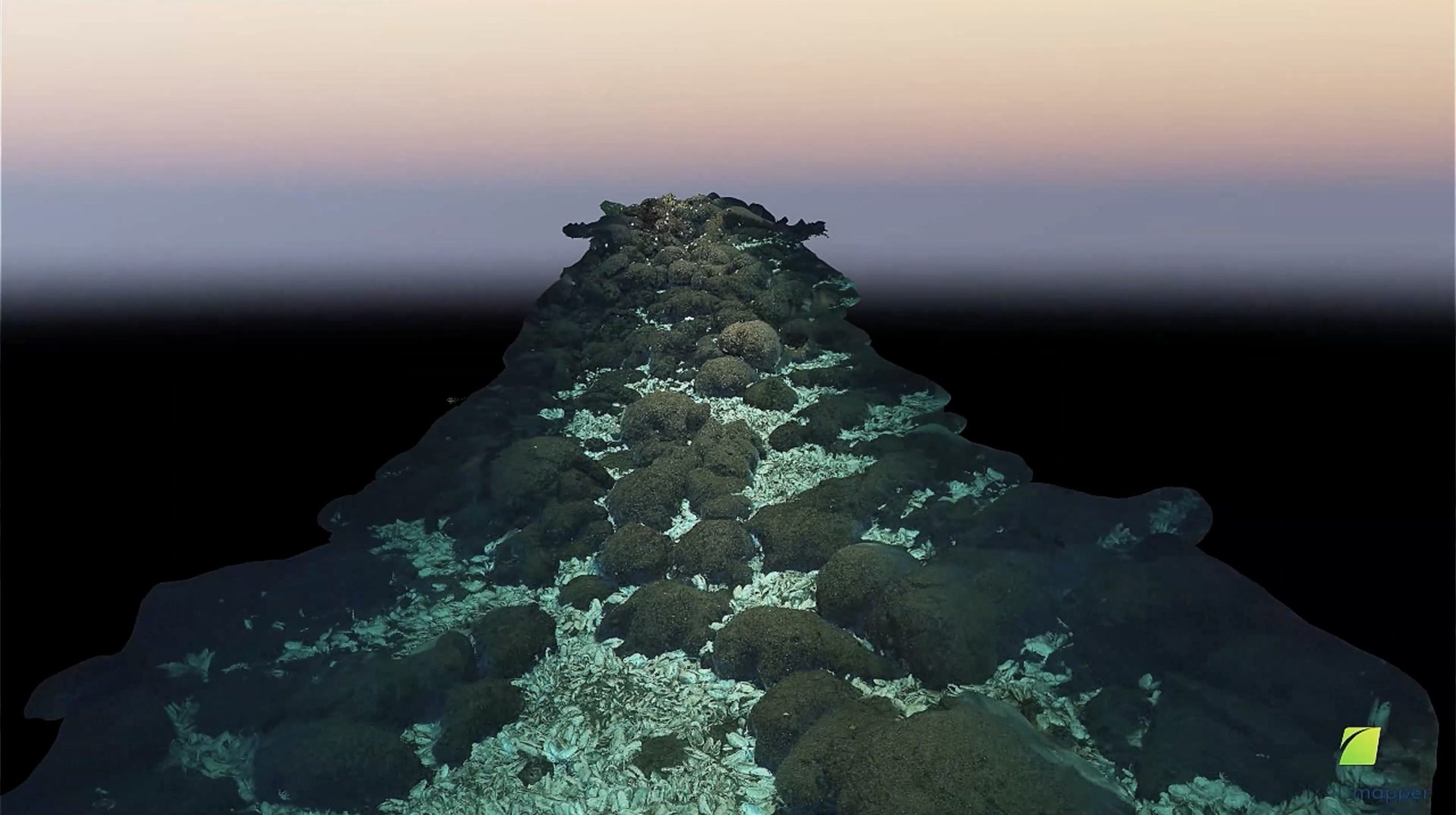
Seafloor mapping is integral to oceanographic research. Bathymetric data illustrate the seafloor’s depth, contours, and physical features, and it is often the first essential step in planning a successful submersible operation. The typical tool for seafloor mapping, multibeam sonar, creates three-dimensional topographical outlines—rather than visual images. Physical hardware limitations can hamper the resolution, or level of detail, of these data and cannot fully reveal important details on the seafloor. There is, though, a ground-breaking technology on oceanography’s horizon. On this expedition, Chief Scientist Dr. John Jamieson, Memorial University of Newfoundland, and his team will test the capabilities of a sonar system new to scientific seafloor mapping: Interferometric Synthetic Aperture Sonar (InSAS). This technology combines bathymetric data with acoustic imagery (“photographs” using sound instead of light) and is capable of unmatched resolutions fine enough to depict individual animals dwelling in the depths. Jamieson and his team will put InSAS through its paces on hydrothermal vent fields of the Eastern Galapágos Spreading Center as they assess its potential as a revolutionary seafloor mapping tool.
- Dive Markers
- Trackline
The Mission
InSAS: a New Tool for Oceanographic Exploration
InSAS combines two key capabilities of traditional sonar systems: the detailed top-down imaging of sidescan sonar and the bathymetric data collection of a multibeam echo sounder. However, its much higher resolution—down to 3 centimeters—is drastically better than the typical 50-meter resolution of ship-based sonar systems meant for picking up large swathes of usable data rather than ultrafine details. It also easily beats the 50 cm to 1-meter resolution of AUV-based multibeam systems deployed to the seafloor. Thinking of these resolutions visually, InSAS imagery would be razor-sharp 4k video compared to the blurry VHS tape of AUV-based multibeam.
InSAS achieves its exceptional fineness of resolution by using software advances to overcome hardware limitations. Traditional sonar systems operate by emitting a ping and listening for its echo with a receiver. Rather than adhering to this “ping-and-listen” pattern, InSAS pings continuously, painting the seafloor with sound beams. Instead of listening for echoes with the large physical receiver required for deep-sea multibeam sonar, it simulates a synthetic one using software. The result is exceptionally high-resolution imagery for surveying, characterizing, and exploring the deep seafloor in a novel way.
While InSAS has been previously available for military and industrial applications, it has had limited application in the sciences. Jamieson and his team aim to systematically evaluate the effectiveness of InSAS and calibrate it as a scientific tool during their expedition to the hydrothermal vent fields of the Eastern Galapágos Spreading Center.
An Oceanographic Proving Ground: The Eastern Galapágos Spreading Center
It’s fitting that the proving ground for InSAS happens to be one of the most iconic areas of the Ocean. In 1977, oceanographers discovered the first hydrothermal vents on the Eastern Galapágos Spreading Center, glimpsing previously unknown creatures thriving in a food web built on chemical-eating bacteria. Life existed where it should not have been, shattering scientific knowledge. Now, five decades after oceanography redefined the limits of life on Earth, Jamieson and his team will return to this area to push the boundaries of acoustic imagery for Ocean exploration.
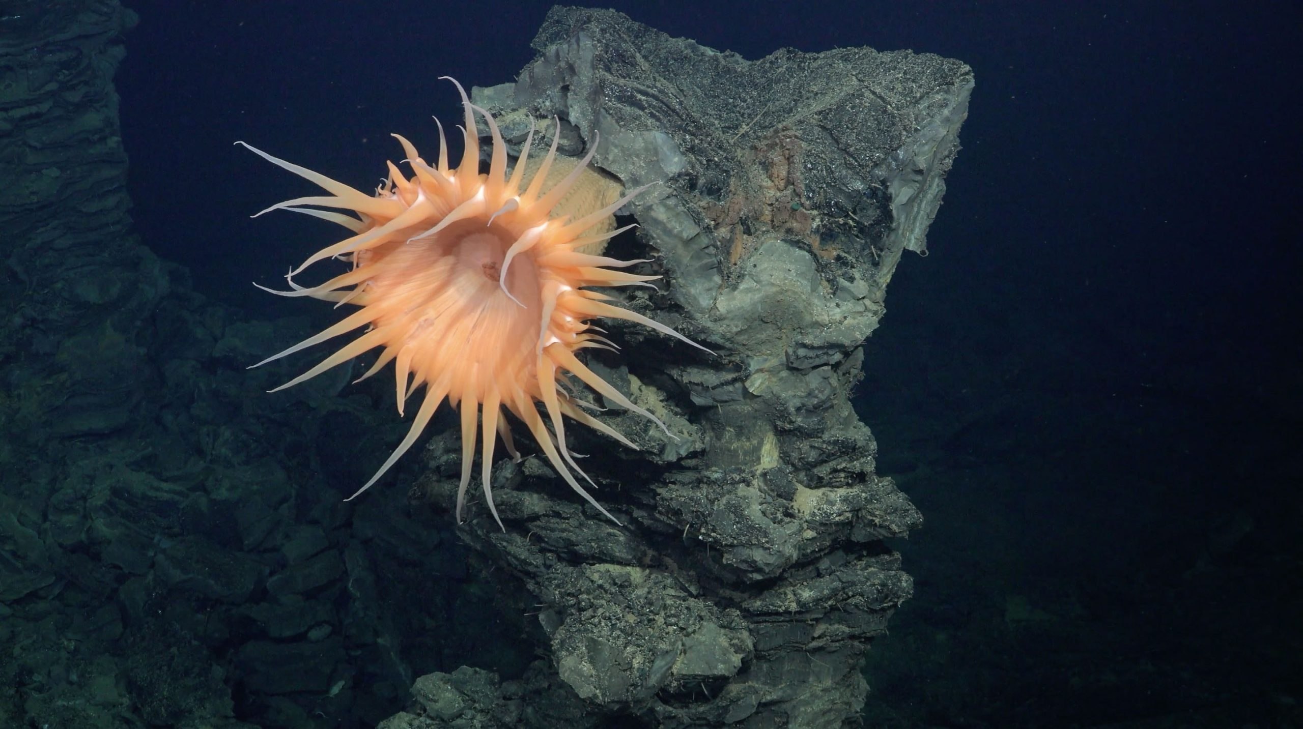
The utility of this system will be determined not by tests on the flat seafloor but by its ability to accurately survey scientifically interesting sites like seamounts, coral reefs, and hydrothermal vent fields. The sites selected for this expedition include inactive vents, possible low-temperature hydrothermal vents, and a site featuring clusters of active black smoker vents. These survey environments, with their varied terrain, will probe the limits of the InSAS system. How well does it handle features like 10-meter-tall hydrothermal chimneys? Can it accurately capture near vertical faults or differentiate sediment types? And, beyond capturing a site’s geology, can data from InSAS be used to pull off the tricky feat of identifying animals and their habitats?
The expedition will also comprehensively survey the sites with ship- and AUV-based multibeam sonar, magnetometers, and CTD data. ROV SuBastian will gather video and samples at targets picked out using the InSAS and multibeam maps to ground truth the data. Collecting all this data allows for two major comparisons—first, to examine how the InSAS holds up against standard survey strategies and, secondly, to compare how the mineralogical, geochemical, and biological evolution of hydrothermal deposits differs between active and inactive vent sites.
Responsible Management Requires Good Data
Hydrothermal vents are a potential target area for deep-sea mining since the venting fluid can create mineral deposits on the seafloor rich in metals such as copper and gold that countries and companies are interested in extracting. Proper management of these areas is essential but can be difficult, especially in the deep sea, where scientists and managers often have to rely on sparse and low-resolution data of the seafloor. The high-resolution imagery InSAS provides will be an effective tool for gathering more data on what exactly lies on the Ocean bottom, informing whether specific spaces should be protected and where activities like fishing and mining should be prevented. The science team on this expedition hopes to prove this tool's usefulness and scale its use for government and scientific exploration.
Team and Collaborators
John Jamieson
Chief Scientist
Caroline Gini

Jake Tan

Maria Figueroa
Monika Neufeld
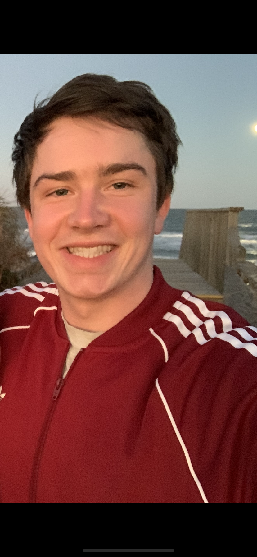
Jake Tidwell
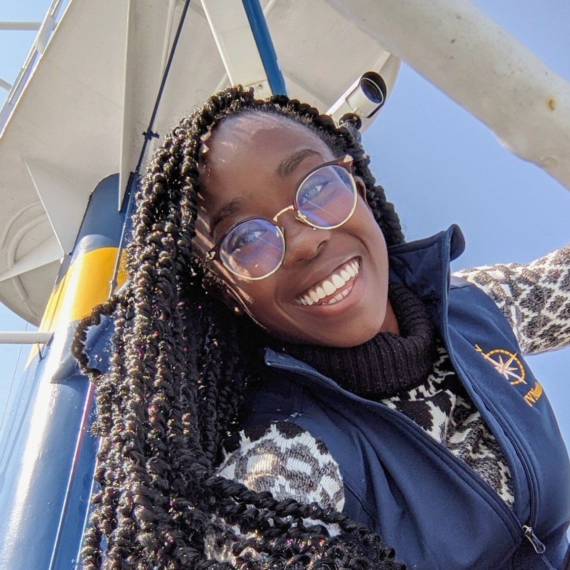
Moronke Harris

Stuart Banks
Observer
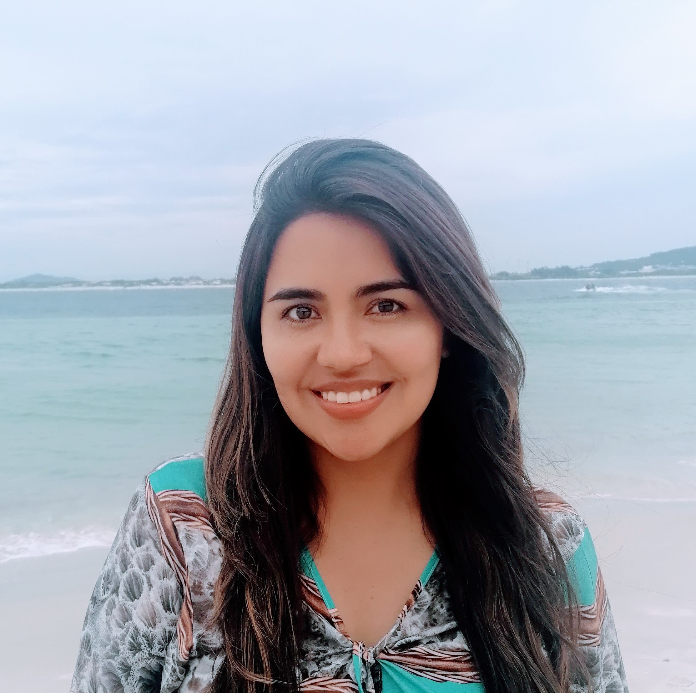
Ana Belen Yanez

Mark Hannington
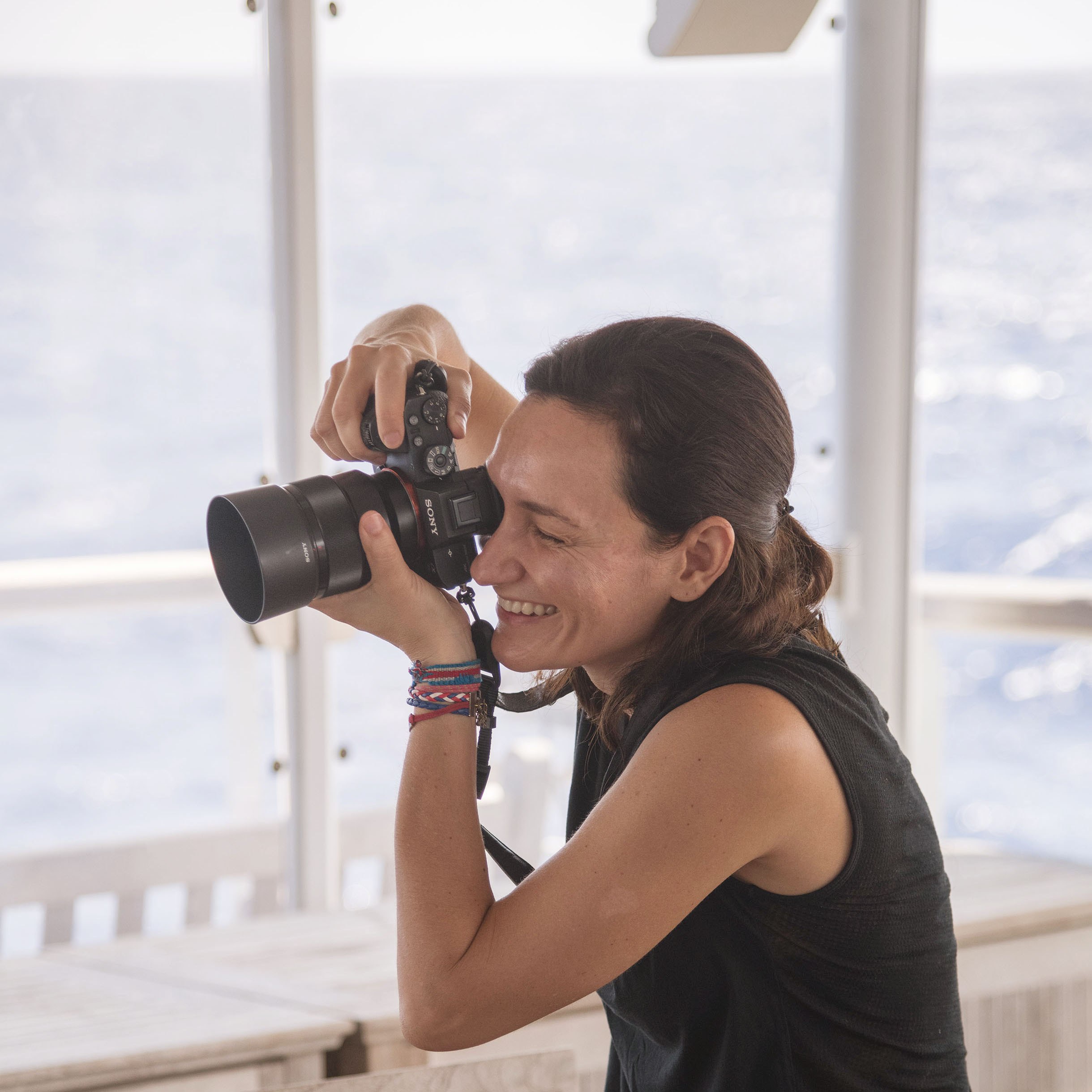
Mónika Naranjo-Shepherd
Multimedia Correspondent
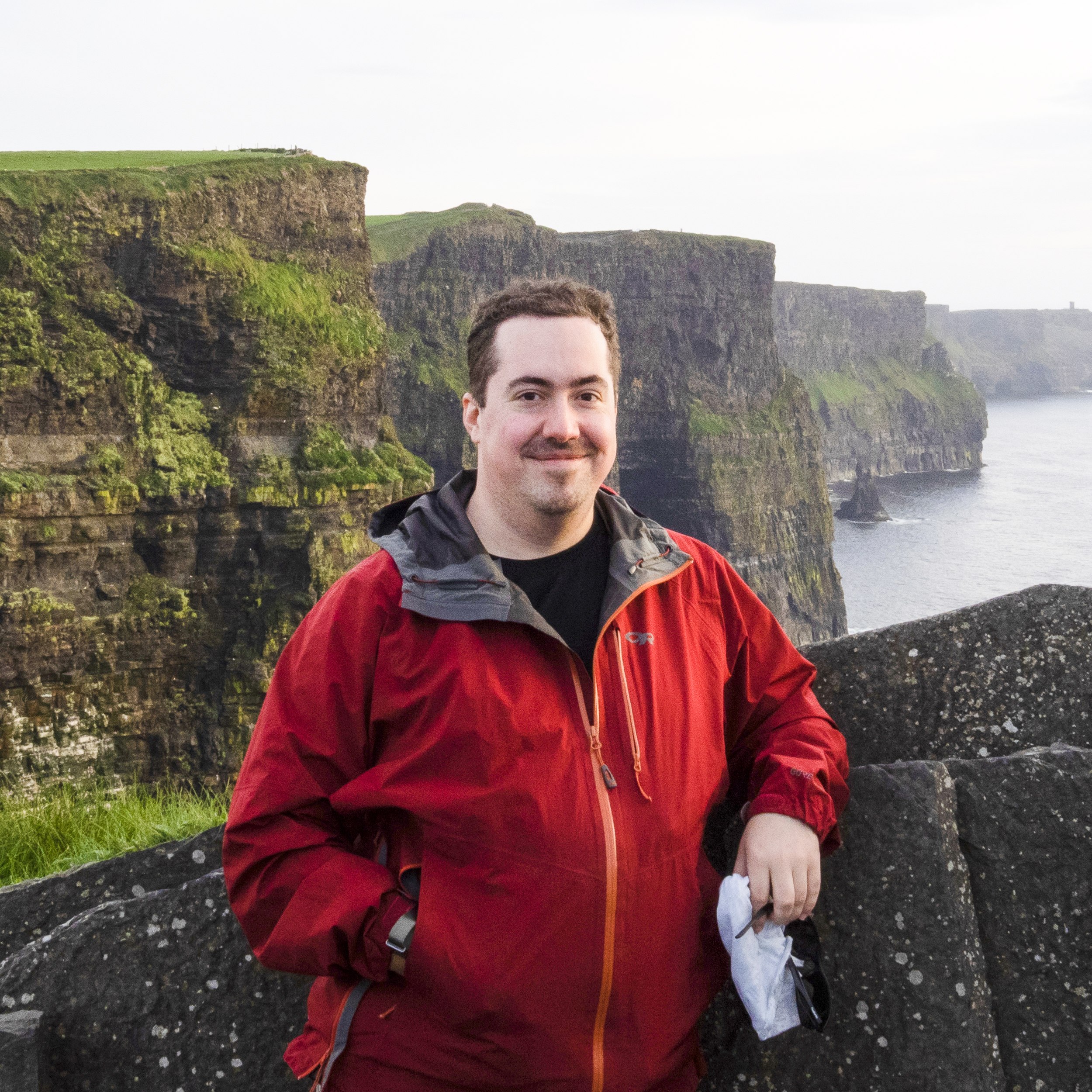
Charles Lapointe
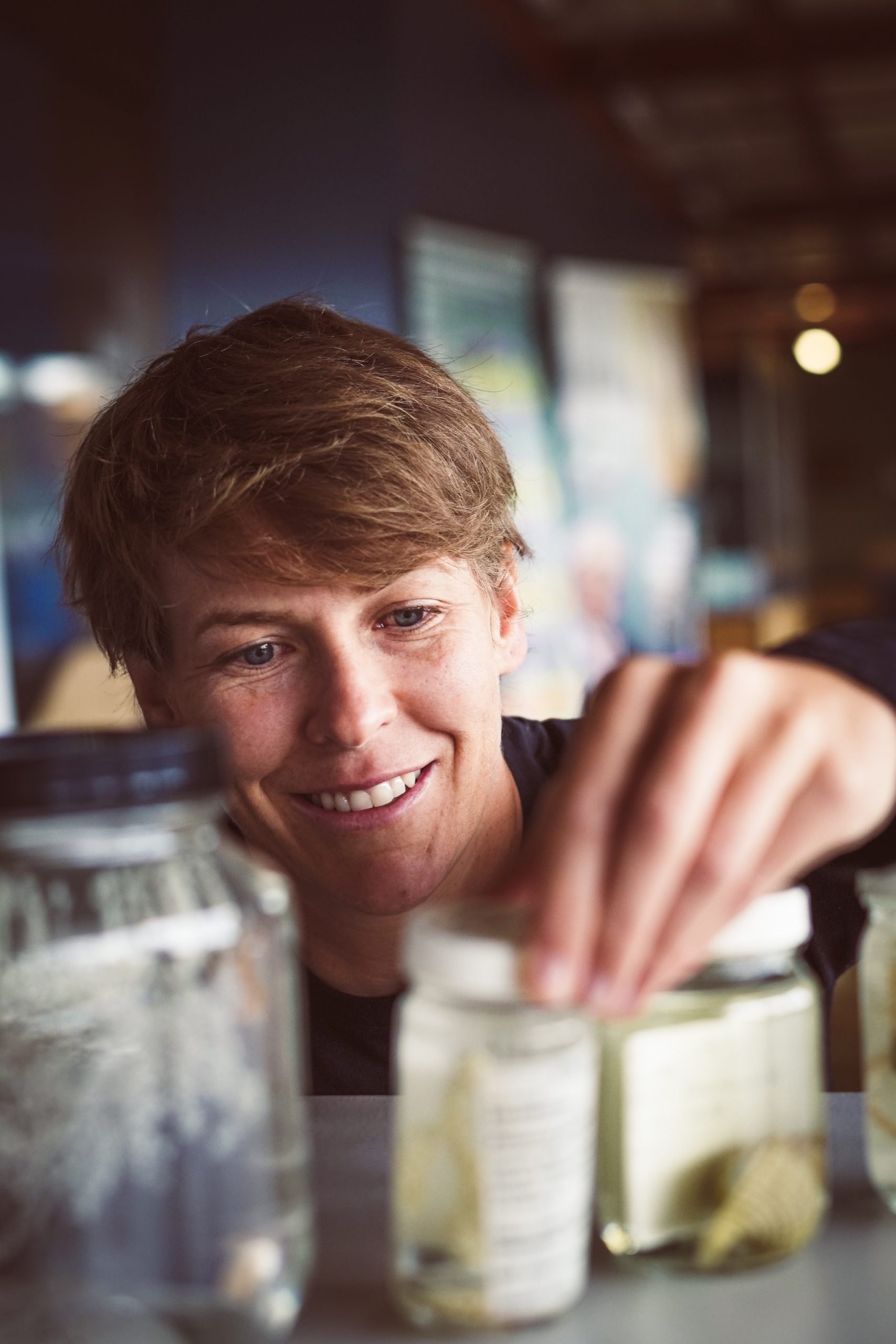
Cherisse Du Preez
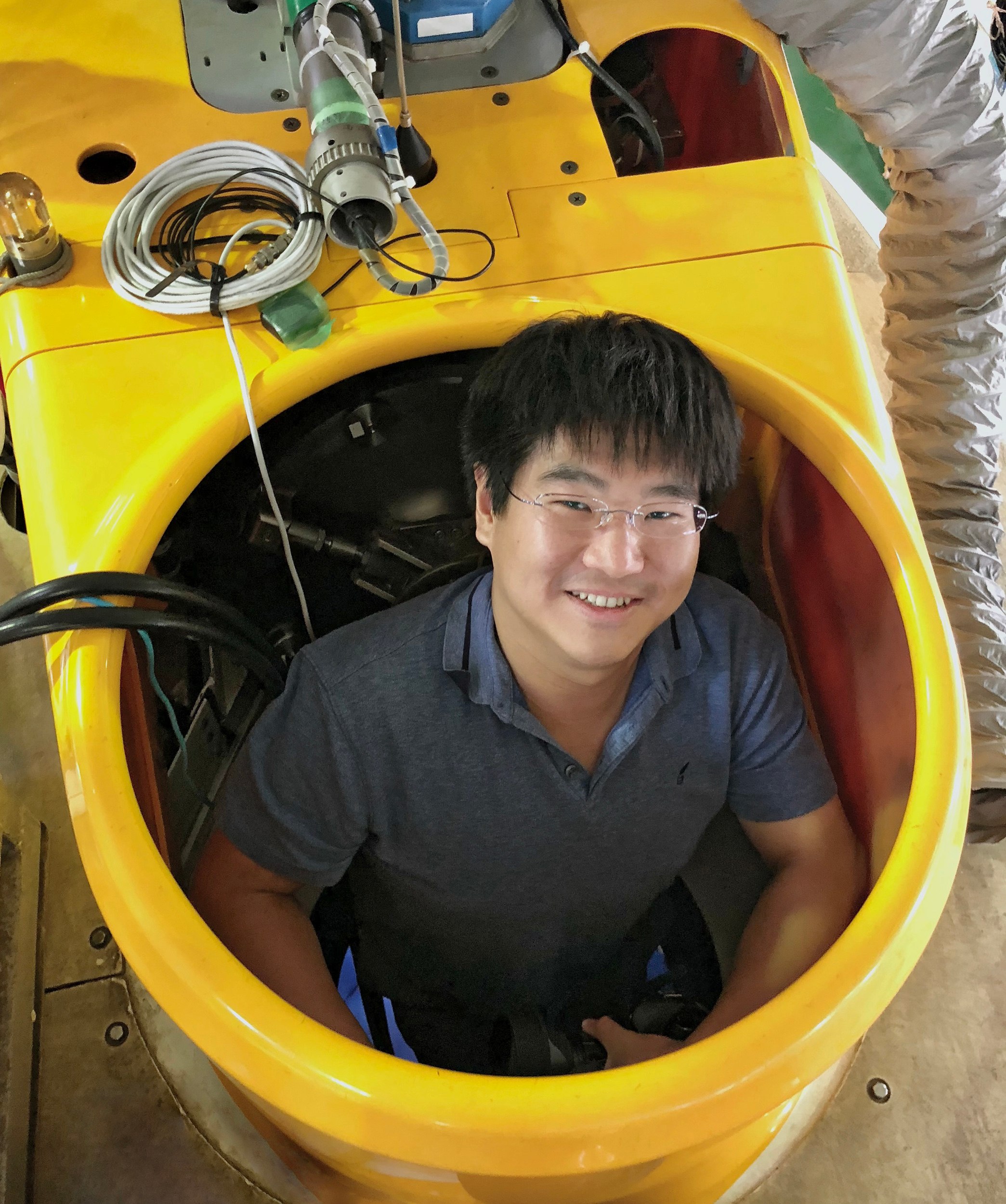
Chong Chen
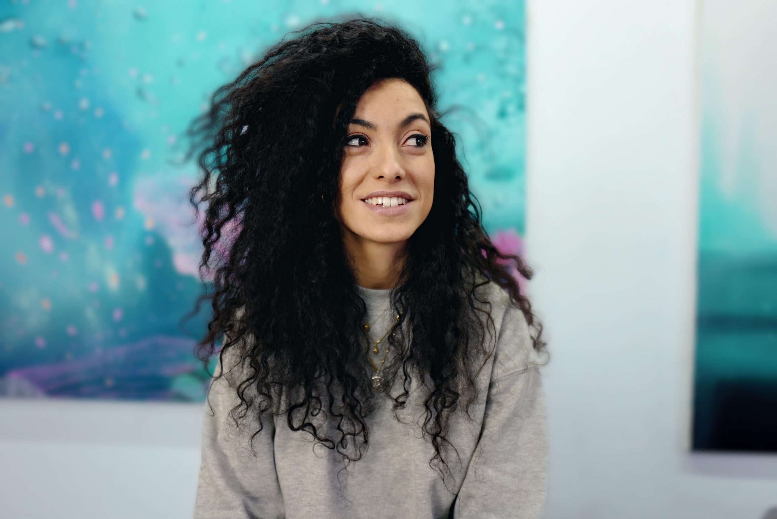
Elena Alonso Fernández
Artist-at-Sea
Erin Bethell
Chris Galley
Sarah Moriarty

Craig Brown
Verena Tunnicliffe
Hope Ianiri
Brendan Smith
Amy Gartman









Explore
Updates from the Ship
All Ship Updates
Related Galleries
View AllWe are happy to offer a streamlined request process when usage falls within the parameters outlined in the Creative Commons Attribution-Noncommercial-ShareAlike 4.0 International (CC BY-NC-SA 4.0) License. However, due to our legal status as a 501(c)(3) private operating foundation, no media produced by Schmidt Ocean Institute may be used in attempting to influence legislation or lobbying.
Attribution-NonCommercial-ShareAlike | CC BY-NC-SA
Under this Creative Commons License, you are free to:
Share — copy and redistribute the material in any medium or format
Adapt — remix, transform, and build upon the material
Under the following terms:
Attribution. You must give appropriate credit, provide a link to the license, and indicate if changes were made. You may do so in any reasonable manner, but not in any way that suggests the licensor endorses you or your use.
NonCommercial. You may not use the material for commercial purposes.
ShareAlike. If you remix, transform, or build upon the material, you must distribute your contributions under the same license as the original.
Not sure this license fits your use? Head over to our Image Requests page to learn more
Divestreams
View all Divestreams

Weekly Videos
View all Weekly Videos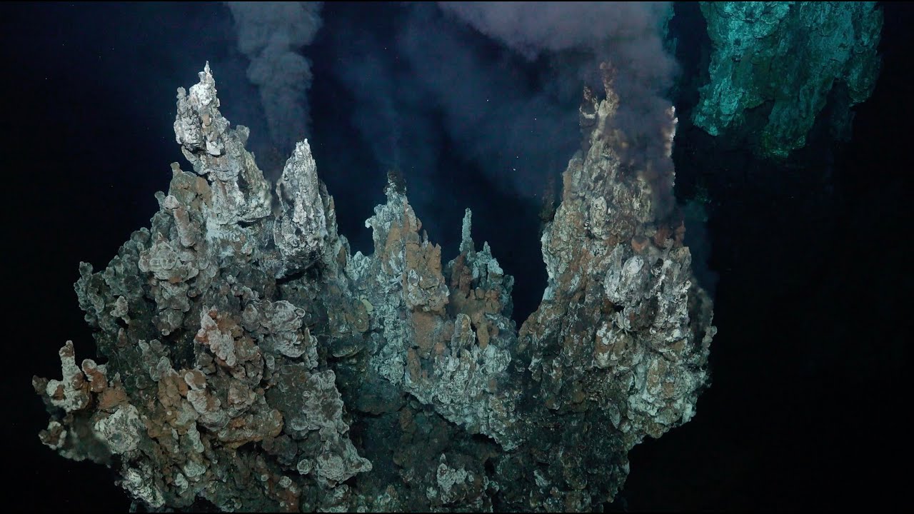
Discover More
Expedition Data
Title  | Type | Repository |
|---|---|---|
| Rock samples (Field Program/Cruise: FKt231024) | Rock Samples | SESAR |
| ADCP data | Oceanographic Property Data | University of Hawaii SOEST |
| Vessel Underway Data | Oceanographic Property Data | Rolling Deck to Repository (R2R) |
Processed Multibeam from Falkor (too) | Sonar Data | Marine Geoscience Data System (MGDS) |
| Rock samples have been with International Geosample Numbers (IGNS) | Rock Samples | Zenodo |
| ROV SuBastian Sensor Data | Oceanographic Property Data | Marine Geoscience Data System (MGDS) |
| ROV Image Data | Captured Image/Video | Marine Geoscience Data System (MGDS) |
| ROV Event Log Data | Other | Marine Geoscience Data System (MGDS) |
Publications from This Expedition
Chen, C., Jamieson, J., and Tunnicliffe, V. (2024). Hydrothermal vent fauna of the Galapagos Rift: updated species list with new records. Marine Biodiversity, 54 (16), doi: 10.1007/s12526-024-01408-w.
[This Article was published OPEN ACCESS]Chen, C., Jamieson, J., and Tunnicliffe, V. (2023). Hydrothermal vent fauna of the Galapagos Rift: Updated species list with new records. BioRxiv, preprint, doi: 10.1101/2023.11.28.568903.
[This Article was published OPEN ACCESS]Jamieson, J., Gini., C., Brown, C., and Robert, K. (2025). Interferometric Synthetic Aperture Sonar: A New Tool for Seafloor Characterization. Oceanography 38(1), doi: 10.5670/oceanog.2025e121.
[This Article was published OPEN ACCESS]- [This Article was published OPEN ACCESS]
Preliminary Expedition Report: Ultra Fine-scale Seafloor Mapping
[This Article was published OPEN ACCESS]Hey, L., Chen, C., Xu, T., Cowell, E., Langlet, D., and Mathou, P. (2026). Widespread Association of Ciliates Colonizing Gills of Shrimps Inhabiting Vents and Seeps Across the Pacific Ocean. Eukaryotic Microbiology, 73 (5), doi: 10.1111/jeu.70115.
[This Article was published OPEN ACCESS]