


0 results for
- Type in the search bar to begin searching the site.

Expeditions
In the coming years, our expeditions will explore understudied regions around all seven continents in our global Ocean.
Latest Expedition
See all
Programs
From grants for caregivers to an artist-at-sea residency, our programs strive to deepen knowledge and inspire a connection with our planet’s life support system.
Latest Expedition
See all
- Our Team

Expeditions & Roles
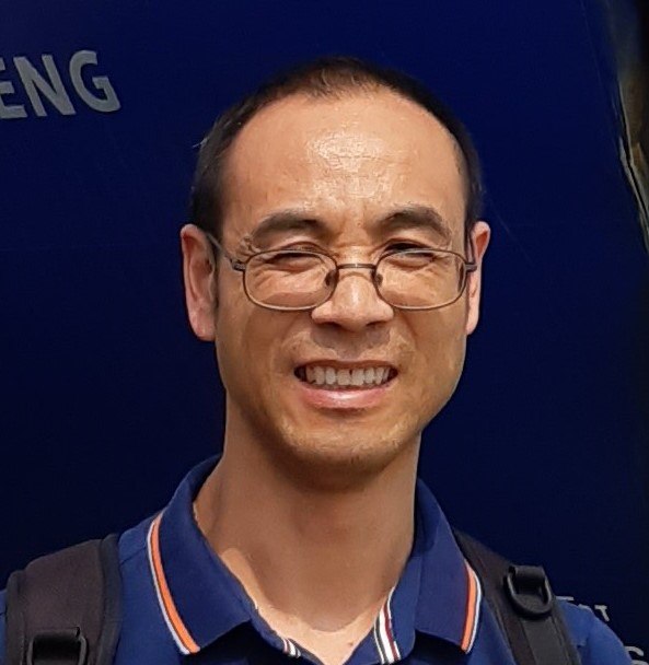
Zhi Huang
Zhi Huang is a Marine environmental Modeller. He obtained his PhD from the Australian National University in 2004. He has worked at Geoscience Australia since 2008. His current research focuses on using remote sensing and spatial modelling techniques to map and understand marine ecosystem and oceanography processes. In the past 12 years, he has worked in the CERF, NERP and NESP marine biodiversity programs and the Digital Earth Australia program. In these research, he mapped the submarine canyons of Australia and evaluated their potential biodiversity values, conducted predictive mapping of marine species, seabed features and sediment distributions using multibeam data and other environmental variables, and used satellite remote sensing technology to investigate and map the dynamics of ocean currents, upwelling and marine heat waves in Australian waters. His research has contributed to the effective management of Australian marine parks and knowledge-based decision making of Australian government.