



Dive In
About the Expedition
Conducting research with multiple underwater vehicles takes a huge amount of deliberation and coordination that is based on data gathered well before the work even takes place. But what happens if the environment you work on is constantly changing? Then the information you are basing your research on isn’t up to date. Additionally, there is a mismatch between the time it takes to digest collected data and the daily cycle of robotics deployment, limiting how well informed in-the-field decisions can be…until now.
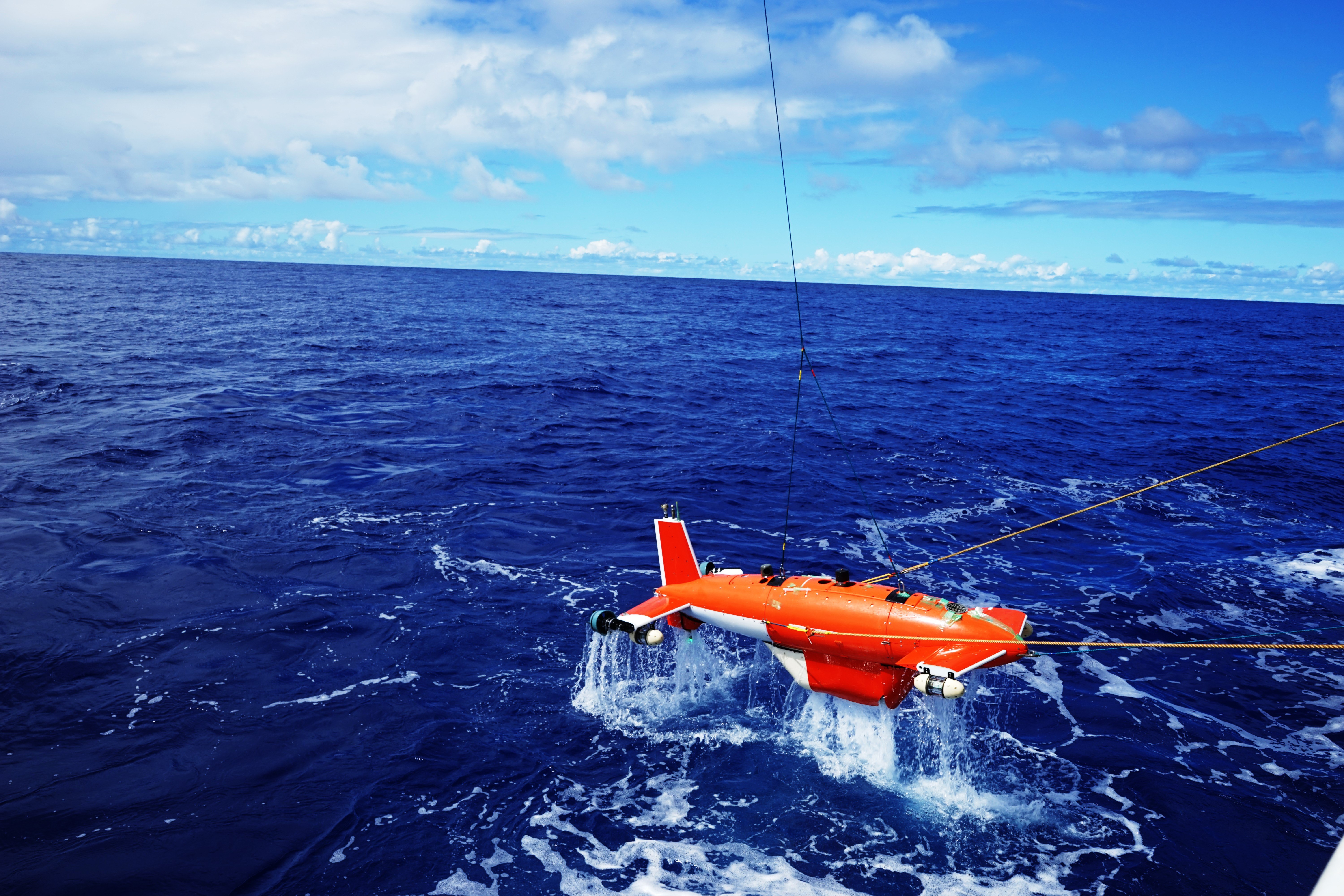
Dr. Blair Thornton of the University of Southampton, and his international team of scientists and engineers are trying to address this problem using underwater robots and algorithms that are smarter than before. The group will perform deployments of multiple different types of underwater platform, along with concurrent in-situ chemical and biological sensing. While on board Falkor, the team plans to demonstrate how large volumes of data can be efficiently viewed and interpreted as part of a daily operational workflow, allowing for better informed decision making and increasing the scientific value of an at-sea expedition. The underwater robots used will not be just mindless gathers of data, but will make important decisions based on an increased awareness of their surroundings
- Dive Markers
- Trackline
The Mission
Not just intelligent but adaptive robots
The data collected will be used to update plans for underwater robot deployments on the fly, taking strategic approaches to gathering data in complex, dynamically changing environments like cold seeps. The information will be compiled onto a single geo referenced frame so humans, as well as machines, can recognize patterns that might be of interest and biological hot spots that we would want to know more about.
Hot spots in the deep
By developing tools for rapid visualization and machine-assisted interpretation, Dr. Thornton and his team will be able to focus observational efforts and generate a new framework that can cover larger ground with better resolution where it is most needed. This means biological hot spots will be easily identified providing a representative picture of the benthic ecosystem. The team will apply this concept by studying environmental aspects that shape the distribution of animal life in gas hydrate fields or “cold seeps.”
Gas hydrate fields and cold seeps sustain some of the richest known ecosystems on the seafloor. They only exist in cold, deep waters where the pressure is high. At the same time, hydrate fields cover vast regions, so the only way to study these systems and grasp an understanding of their influence on deep-sea ecology, is to make high-resolution observations over large areas. Understanding these systems is important for both benthic ecology, climate, and geo hazards research. Unfortunately, in the past we have not had the ability to intelligently investigate these systems in the time frames relevant to their dynamic changing environment.
Innovative Instrumentation
Barkley Canyon and Hydrate Ridge are the two sites that will be explored during this expedition. Since these are continuously changing environments, the AUV will be sent out first to complete a screening survey of the seafloor. Using three AUVs and ROV Subastian, the vehicles will undertake data-gathering deployments in real time looking at how the chemical, physical and biological properties in the water column influence (or is influenced by) the distribution of animals on the seafloor. An AUV will first produce 1 cm resolution 3D visual reconstructions of vast regions flying at a higher distance in the water column looking for patterns of interest.
Once biological and chemical hot spots are found, artificial intelligence (AI) will be used to tell another vehicle where to do higher resolution photo mosaicking, generating submillimeter resolution 3D visual reconstructions, allowing scientists to gather data in the most interesting regions and interpret them in a way that would not be possible otherwise. Hovering closer to the seafloor, the vehicles will cover a smaller, targeted area, making in-situ chemical and biological measurements using instruments such as laser spectrometers.
Having this level of detail where it matters most will help to illuminate relationships and advance the understanding of these environments. The deep-ocean is one of the most challenging ecosystems to deploy technology, and this work will be a small step towards improving our understanding of these environments, and a big step towards improving how effective we are a gathering information from these ecosystems.
Team and Collaborators






Explore
Updates from the Ship
All Ship Updates
- 01
Adaptive Robotics ~ Wrap Up Video
17 August 2018
Read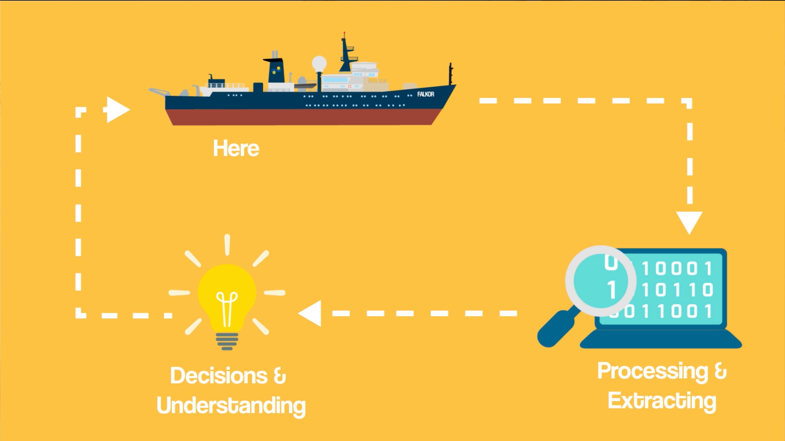
- 02
No Regrets
17 August 2018
Read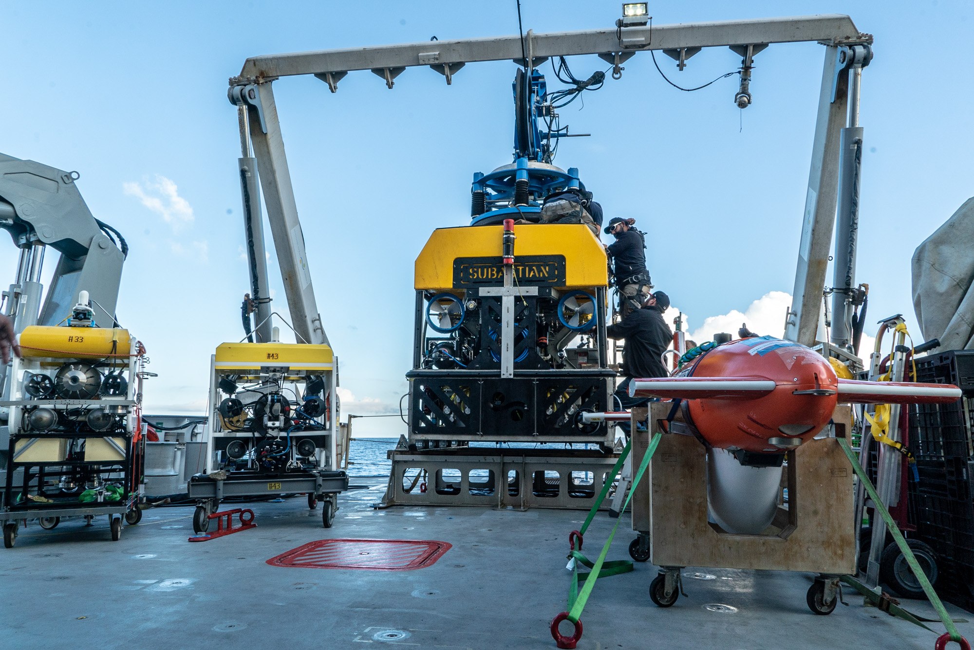
- 03
Not My Normal Desk Job
16 August 2018
Read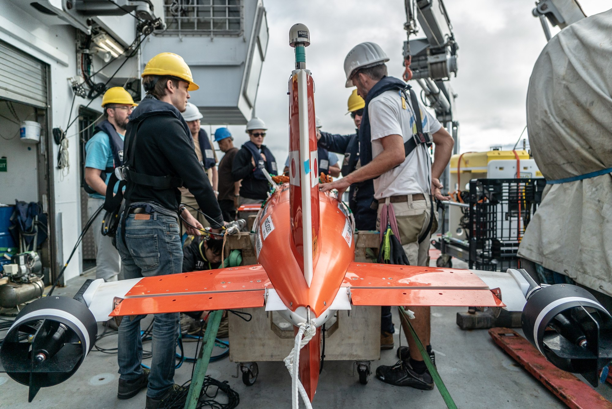
- 04
Five Starfish Ahead
15 August 2018
Read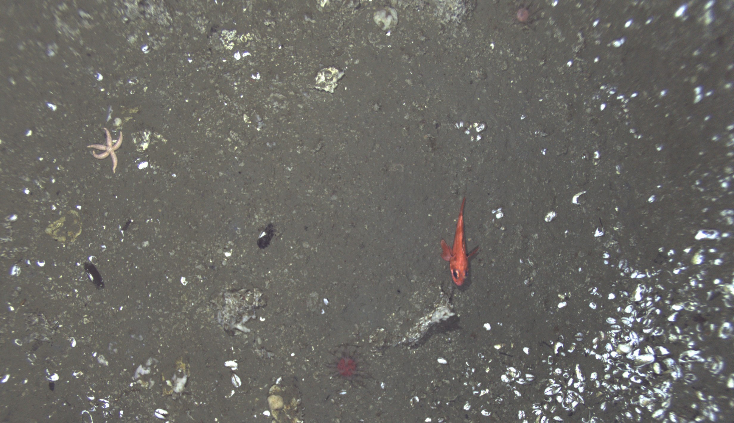
- 05
Making the Best Use
14 August 2018
Read
- 06
Ask us Anything!
12 August 2018
Read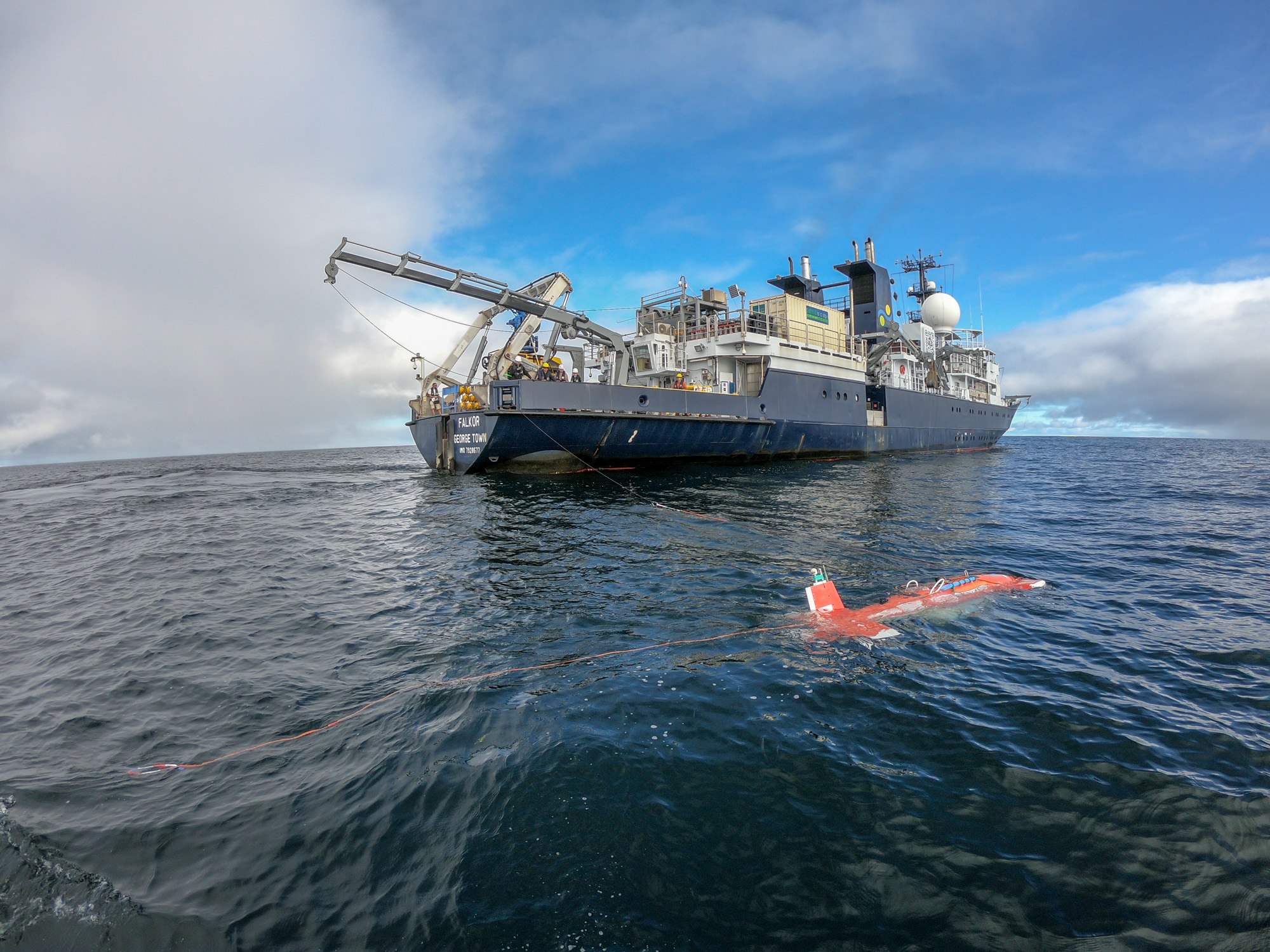
- 07
Five Senses
10 August 2018
Read
- 08
Peeking Under The Seafloor
8 August 2018
Read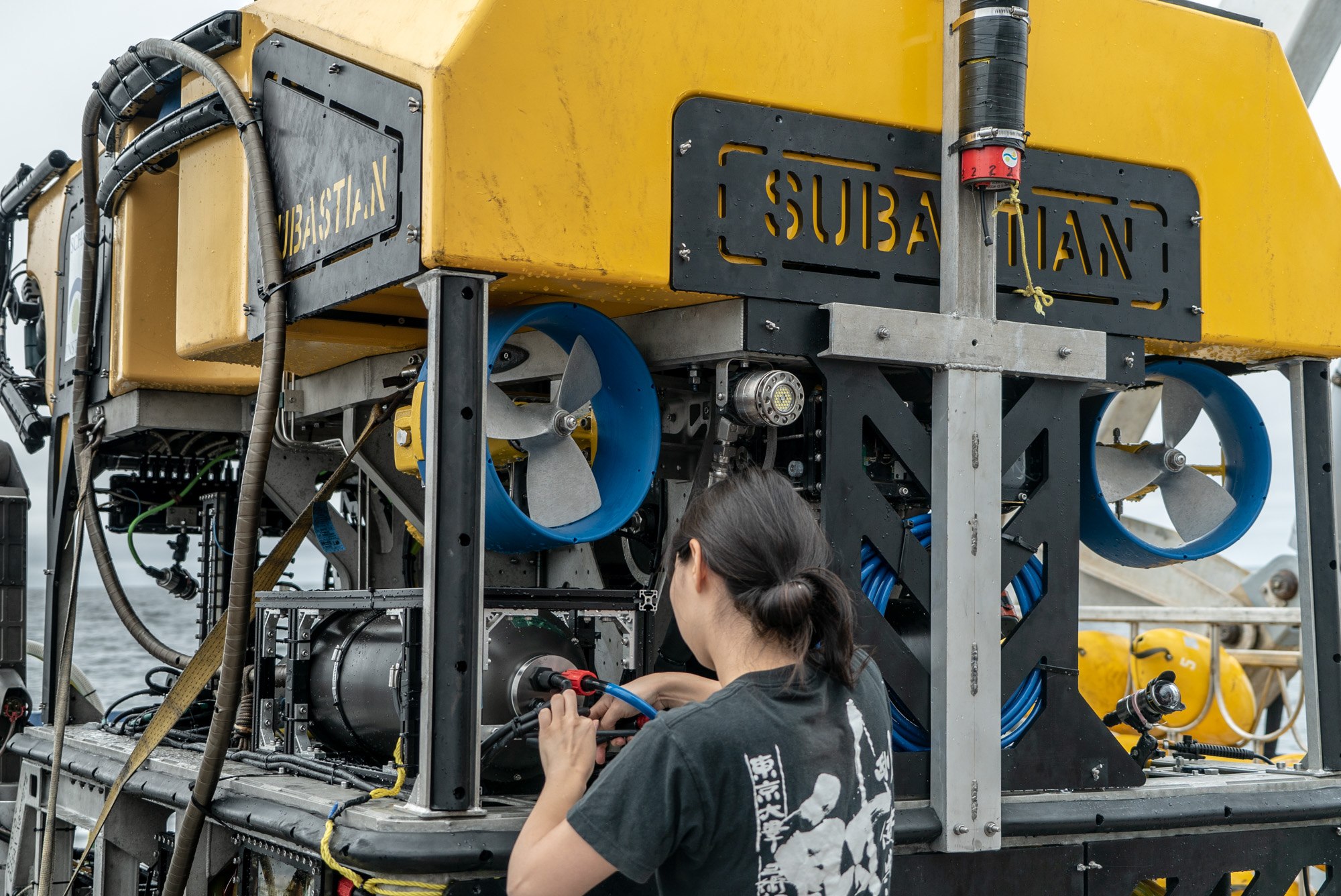
- 09
Video Update 1
7 August 2018
Read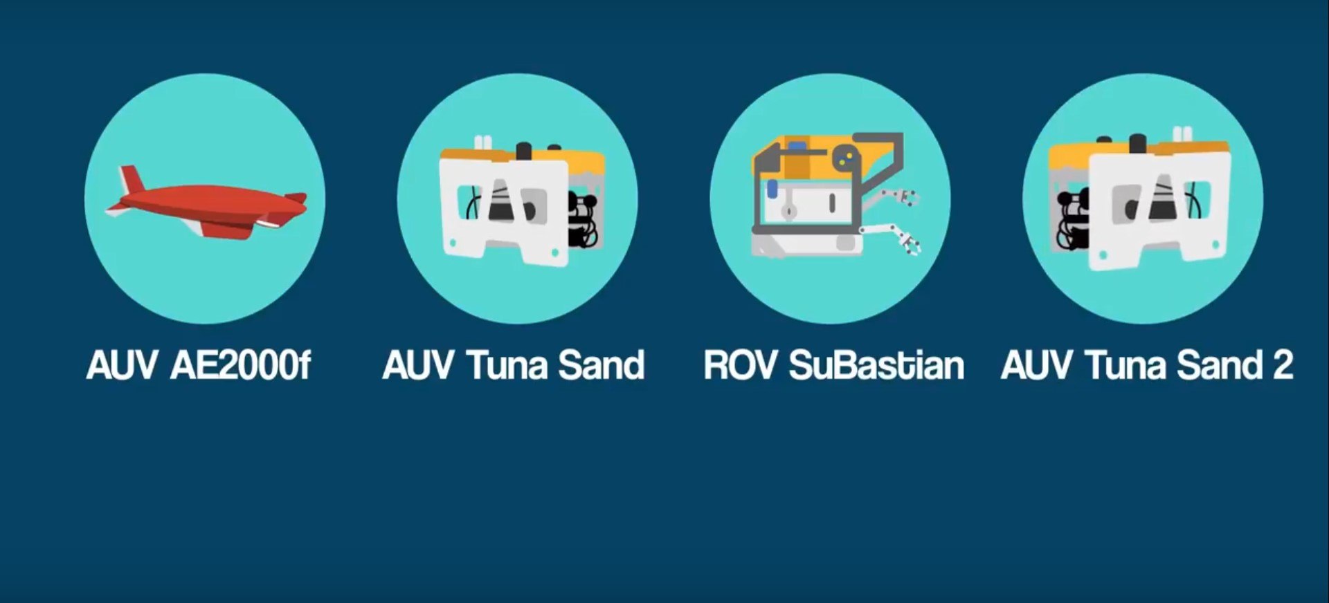
- 10
Phase 03: In the Details
7 August 2018
Read
- 11
Never Settle: Phase 01 Complete
4 August 2018
Read
- 12
Launching Adaptive Robotics
1 August 2018
Read
Divestreams
View all Divestreams
Weekly Videos
View all Weekly VideosDiscover More
Expedition Data
Title  | Type | Repository |
|---|---|---|
| Sensor based geoscience data | Sonar Data | Marine Geoscience Data System (MGDS) |
Navigation, CTD and EventLogger Documentation, as well as Falkor Navigation | Navigation Data, Oceanographic Property Data | Marine Geoscience Data System (MGDS) |
| Publicly annotated images | Annotated Imagery | Squidle+ |
| Point labels of Imagery | Annotated Imagery | Squidle+ |
| Map of EM302 Bathymetry, Backscatter, and Navigation | Mapping Data | Other |
| Vessel Underway data | Oceanographic Property Data | Rolling Deck to Repository (R2R) |
Publications from This Expedition
30 day Preliminary Cruise Report: Adaptive Robotics at Barkley Canyon
Thornton, B. (2018). #Adaptive Robotics. Invited Lecture, 62nd Ocean and Seafloor Engineering Forum, Tokyo, Japan.
Thornton, B. (2018). Whole site multi-resolution photogrammetric surveys of deep-sea vents and cold seeps. Invited Lecture, Beyond Challenger: A new age of deep-sea science and exploration meeting hosted by the Royal Society, London, UK.
Thornton, B. (2019). 3D Visual Mapping and Rapid Understanding of Multi-hectare benthic habitats. Oral Presentation at Underwater Intervention, New Orleans, LA, USA.
Thornton, B. (2019). Adaptive Robotics 2.0. Oral Presentation at Oceanology International, San Diego, CA, USA.
Thornton, B., Yamada T., Bodenmann, A., Massot-Campus, M., Walker, J., et. al. (2019). 3D Visual Mapping and Rapid Understanding of Multi-hectare Benthic Habitats. Oral Presentation at Marine Autonomy Technology Showcase, Southampton, UK.
Cappelletto, J., Massot-Campos, M., Bodenmann, A., Das, S., and B. Thornton. (2019). Micro-ballast Dispenser for Long Endurance Underwater Mapping Platforms. 2019 IEEE Underwater Technology, 1-8, doi.10.1109/UT.2019.8734317.
Lim, J., Thornton B., and A. Prugel-Bennet. (2019). Unsupervised Clustering of Multi-resolution Seafloor Images for Efficient Scene Understanding, Oral Presentation at Marine Imaging Workshop, British Columbia, Canada.
Walker, J., Thornton, B., Ruhl, H., Huvenne, V., and A. Prugel-Bennet. (2019). The Automation of Extracting Useful Statistics from Seafloor Imagery: A New Workflow. Oral Presentation at Marine Imaging Workshop, Victoria, British Columbia, Canada.
Walker, J., Yamada, T., Prugel-Bennett, A., and B. Thornton. (2019). The Effect of Physics-based Corrections and Data Augementation of Transfer Learning for Segmentation of Benthic Imagery. 2019 IEEE Underwater Technology, 1-8, doi: 10.1109/UT.2019.8734463
Yamada, T., Prugel-Bennett, A., and B. Thornton. (2020). Learning Features from Georeferenced Seafloor Imagery with Location Guided Autoencoders. Journal of Field Robotics, doi: 10.1002/rob.21961.
[This Article was published OPEN ACCESS]Edwards, J. (2020). Signal Processing Advances Undersea Research. IEEE Signal Processing pgs 7-10, Magazine, doi:10.1109/MSP.2020.2982856.
Final Cruise Report: Adaptive Robotics at Barkley Canyon and Hydrate Ridge
Marcon, Y., Kelley, D., Thornton, B., Manalang, D., and Bohrmann, G. (2021). Variability of Natural Methane Bubble Release at Southern Hydrate Ridge. Geochemistry, Geophysics, Geosystems, 22, doi: 10.1029/2021GC009894.
[This Article was published OPEN ACCESS]Walker, J., Prugel-Bennett, A., and Thornton, B. (2021). Towards Observation Condition Agnostic Fauna Detection and Segmentation in Seafloor Imagery for Biomass Estimation. Conference Technical Paper, OCEANS 2021, San Diego, CA, USA.
Yamada, T., Massot-Campus, M., Prugel-Bennett, A., Pizarro, O., Williams, S., and Thornton, B. (2022). Guiding Labelling Effort for Efficient Learning with Georeferenced Images, IEEE Transactions on Pattern Analysis and Machine Learning, doi: 10.1109/TPAMI.2021.3140060.
[This Article was published OPEN ACCESS]