



Dive In
About the Expedition
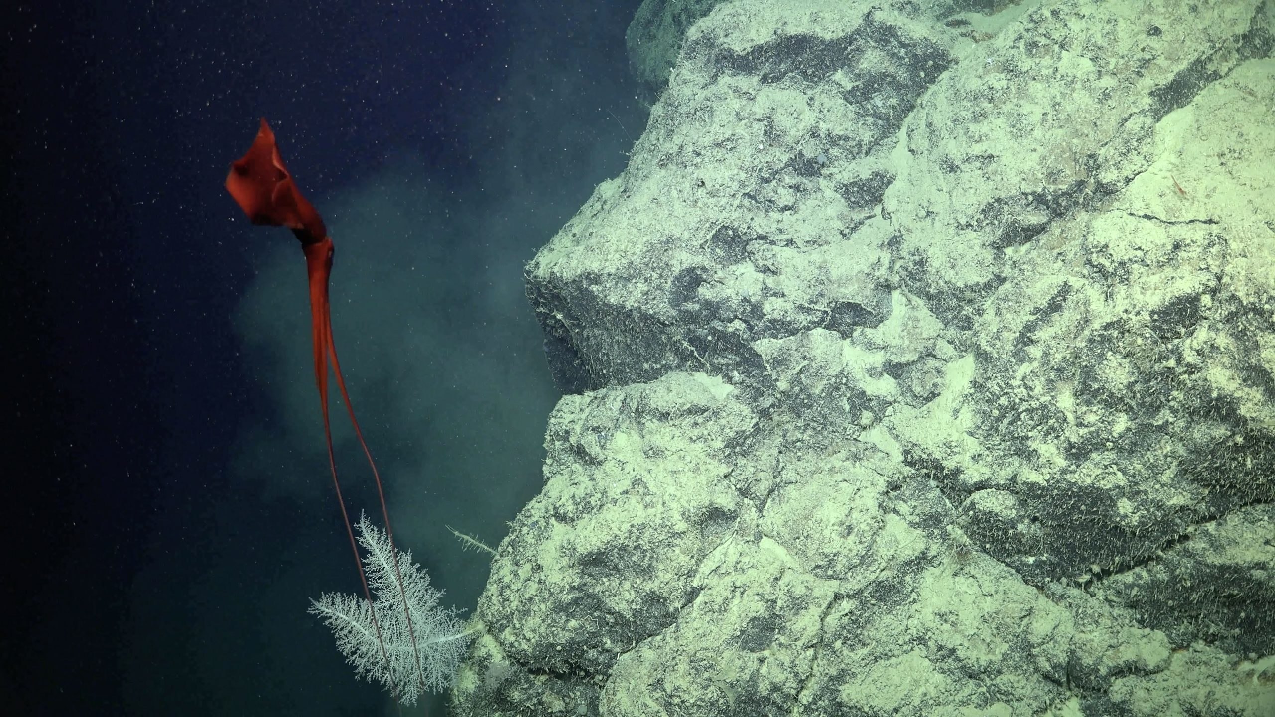
The upper continental slope and shelf edge of the southern Great Barrier Reef is largely unknown and poorly mapped. After a successful expedition mapping the northern Great Barrier Reef, R/V Falkor will traverse to the southern reaches of the Great Barrier Reef World Heritage Area. The goal of the expedition is to explore ancient undersea features that formed during the last Ice Age, when sea level was almost 120m lower than it is today. While once an exposed part of the Australian coastline, these features submerged, or ‘drowned,’ as glaciers and ice sheets melted and sea level rose, flooding Australia’s continental shelf. R/V Falkor’s team will use high-resolution multibeam sonar to search for these Ice Age past shorelines, drowned reefs, pinnacles, and shelf-edge terraces, as well as ancient river channels and deltas that connect to the ocean basin. Additionally, the search is on to find the southern extent of an even older limestone platform which may represent the ~20 million-year-old base upon which the present Great Barrier Reef has grown.
Schmidt Ocean Institute is thrilled to see Chief Scientist, Mardi McNeil, of the Queensland University of Technology lead this voyage, after her time as an SOI student opportunities participant in 2017. Mardi and her team will also be accompanied by Schmidt Ocean Institute’s Artist-at-Sea participant Taloi Havini, a Bougainville and Sydney based contemporary artist. Her work from this expedition will be featured in her first international solo exhibit at the Ocean Space, Venice, Italy in 2021.
- Dive Markers
- Trackline
The Mission
20,000 Years Ago
Twenty thousand years ago, during the last ice age, most of earth’s water was locked in ice and glaciers. The sea level around Australia’s coastline was approximately 100 to 120 meters lower. As a result, Australia’s continental shelf was exposed during the last glacial period. In the present-day, many areas where coral grows used to be exposed land. Back then, a narrower band of coral reef thrived in the location of what is now the edge of the continental shelf of east Australia. As sea level rose, this coral reef drowned and the ocean covered a number of landscapes unique to the Australian continent.
In order to uncover some of these drowned landscapes, the expedition will systematically survey the Fraser and Capricorn-Bunker shelf, the Capricorn Channel, and southern Swain Reef edges and slopes. The Capricorn-Bunker and Swain Reefs make up the southern extent of the present-day Great Barrier Reef, and mark the transition from tropical to temperate ocean conditions to the south. The goal of the science team is to determine whether the drowned reef system that has been extensively mapped in the northern and central GBR resembles the drowned reefs in the southern GBR, or whether such drowned reefs extend this far south at all. Understanding the southern extent of the drowned reefs and examining these lost landscapes is a vital piece of the puzzle in the examination of the history and formation of the Great Barrier Reef as we know it today.
Mapping the Ice Age Submerged Landscapes
The primary exploration tool for this expedition is R/V Falkor’s advanced mapping technology. Multibeam sonar will create detailed maps of the seafloor, illuminating ancient submerged reef terraces, pinnacles, rivers and shorelines. Falkor’s mapping system is highly effective in capturing high-resolution imagery of Australia’s seafloor features, as demonstrated through previous expeditions like Northern Depths of the Great Barrier Reef and Seamounts, Canyons, and Reefs of the Coral Sea.
The multibeam bathymetry datasets created from this expedition will be added to Geoscience Australia’s public AusSeabed data portal. They will also be added to the GEBCO Seabed 2030 project, which seeks to map the world’s entire seafloor by 2030. These detailed undersea maps are critical for Australia’s future management decisions within the Great Barrier Reef Marine Park and coinciding UNESCO World Heritage Area. As the Great Barrier Reef is a designated World Heritage Area, Australia is committed to protecting the it's rich environmental and cultural significance for future generations.
Corals Make Clouds
To complement the Ice Age GBR mapping campaign, this expedition will also measure atmospheric aerosol particles produced by coral reefs. Aerosols produced by corals are a natural process that can create cloud cover, protecting coral from harsh sunlight. An aerosol sampler will be used during the expedition to take constant measurements. The aerosol data will be used by the Reef Restoration and Adaptation Program to investigate technologies to reduce coral bleaching by creating cooling cloud cover. The data will help create more robust atmospheric models to be added to the CSIRO eReefs hydrodynamic models.
Team and Collaborators
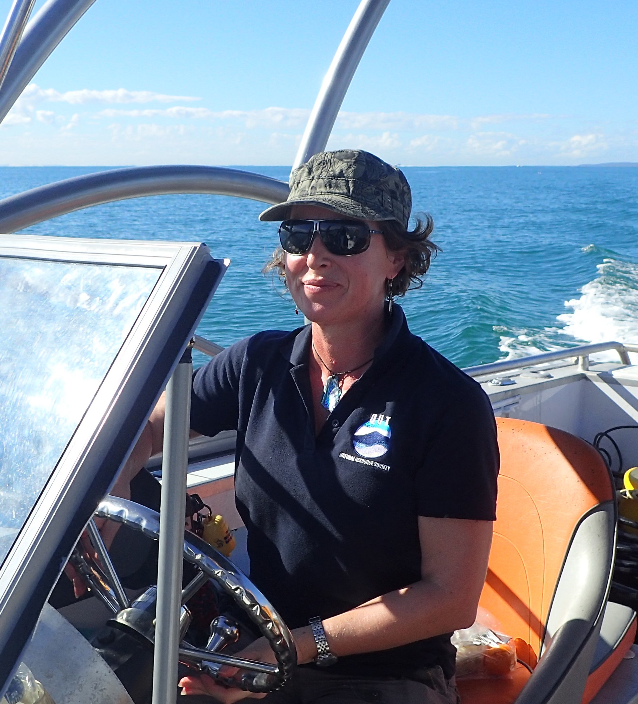
Mardi McNeil
Principal Investigator
Jody Webster
Principal Investigator

Brendan Brooke
Co-Principal Investigator

Zoran Ristovski
Co-Principal Investigator

Kim Picard
Co-Principal Investigator
Luke Cravigan
Co-Principal Investigator

Robin Beaman
Co-Principal Investigator
Helen Bostock
Co-Principal Investigator
Luke Nothdurft
Co-Principal Investigator
Ben Houseman

Aimee Catalan
Multimedia Correspondent
Taloi Havini
Artist-at-Sea
Haydn Trounce
Ella Sinclair




Explore
Updates from the Ship
All Ship Updates
- 01
Creating Connections and Sharing Perspectives
8 January 2021
Read
- 02
Melting Away Ice Age Mysteries
22 December 2020
Read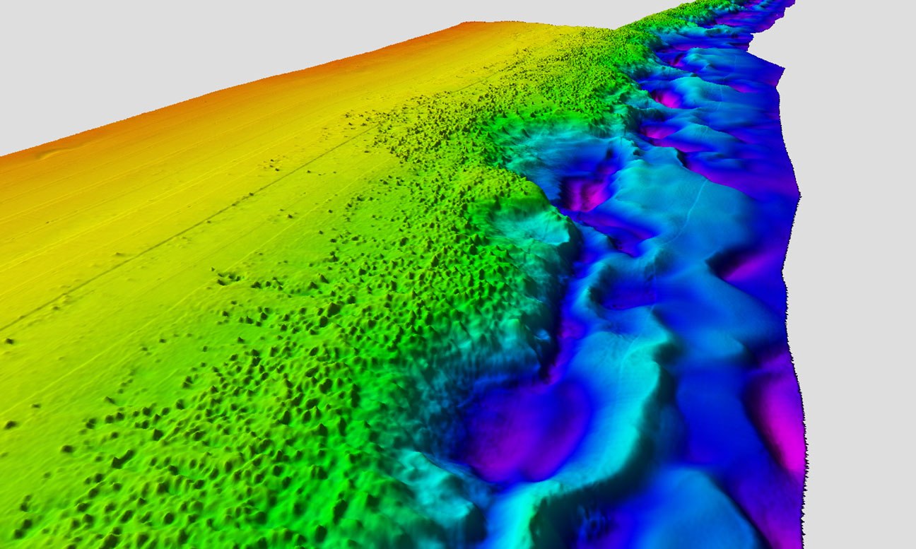
- 03
My Life as a Student on the R/V Falkor
14 December 2020
Read
- 04
Past, Present, and Future - Video Update
11 December 2020
Read
- 05
Mapping the Past
7 December 2020
Read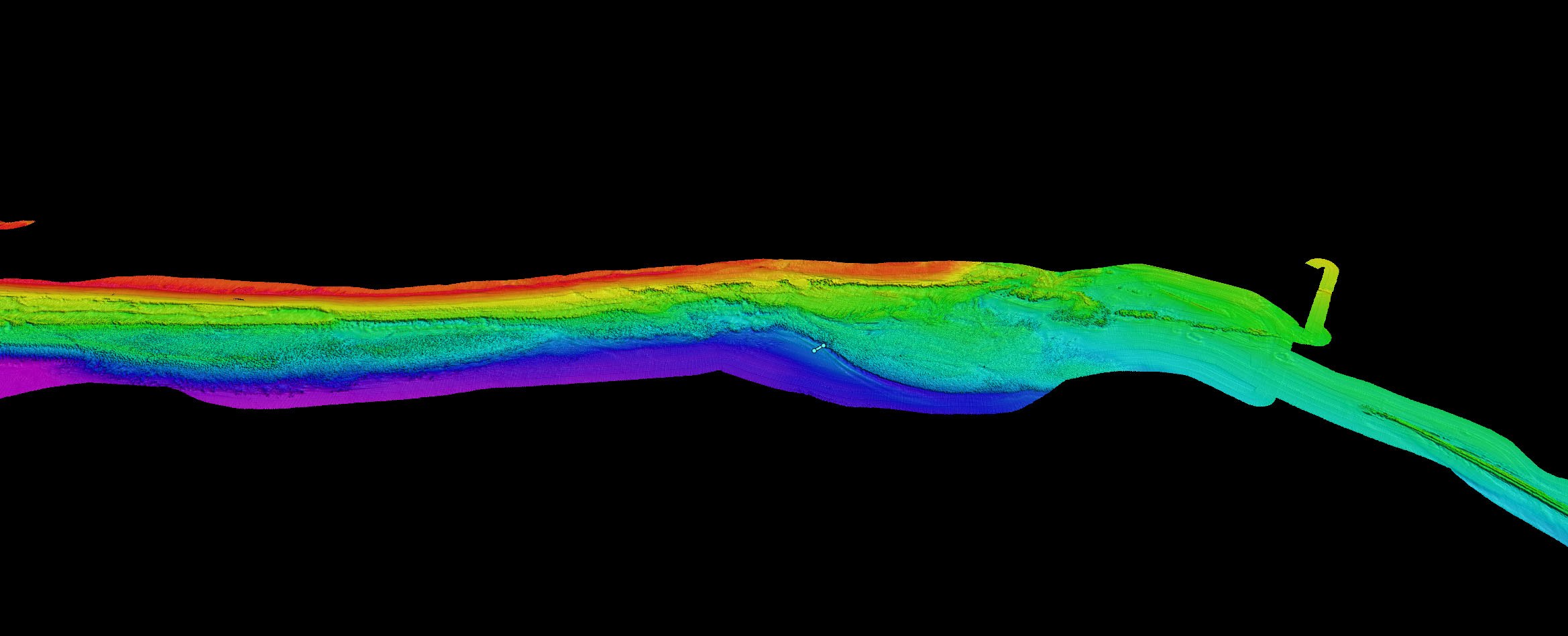
- 06
Measuring Time, Measuring Space - Artist-at-Sea Video Update
5 December 2020
Read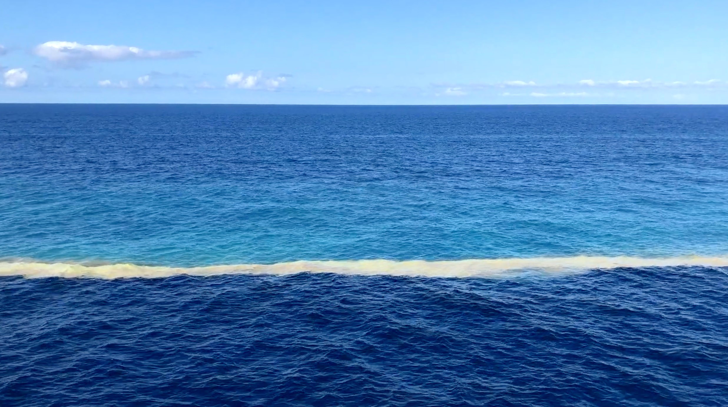
- 07
Coral Reefs, Coasts, and Climate Change since the Last Ice Age
3 December 2020
Read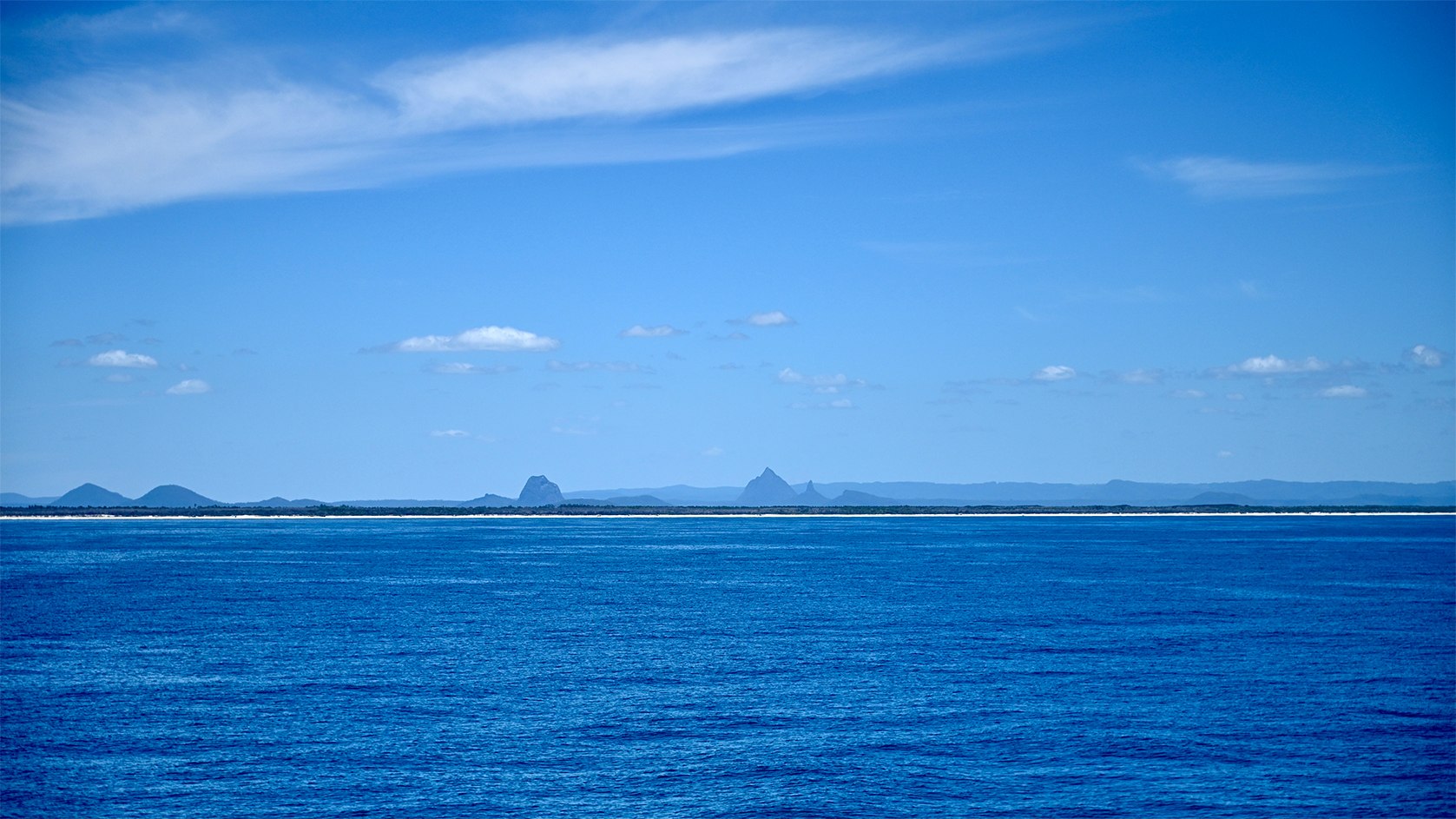
- 08
Clouds Over the Great Barrier Reef
1 December 2020
Read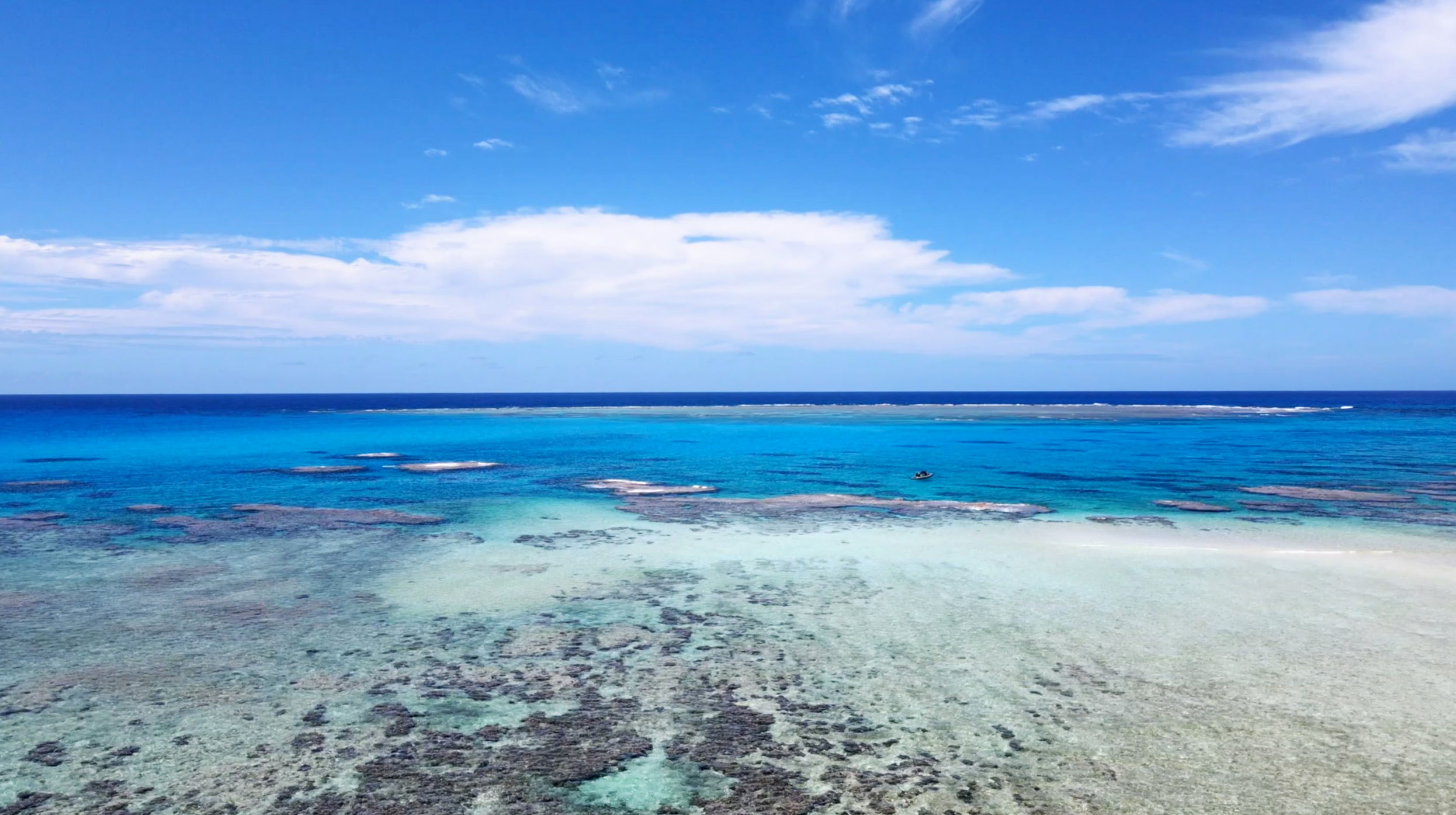
- 09
Mapping Space With Sound
26 November 2020
Read
- 10
Ice Age Geology of the Great Barrier Reef
24 November 2020
Read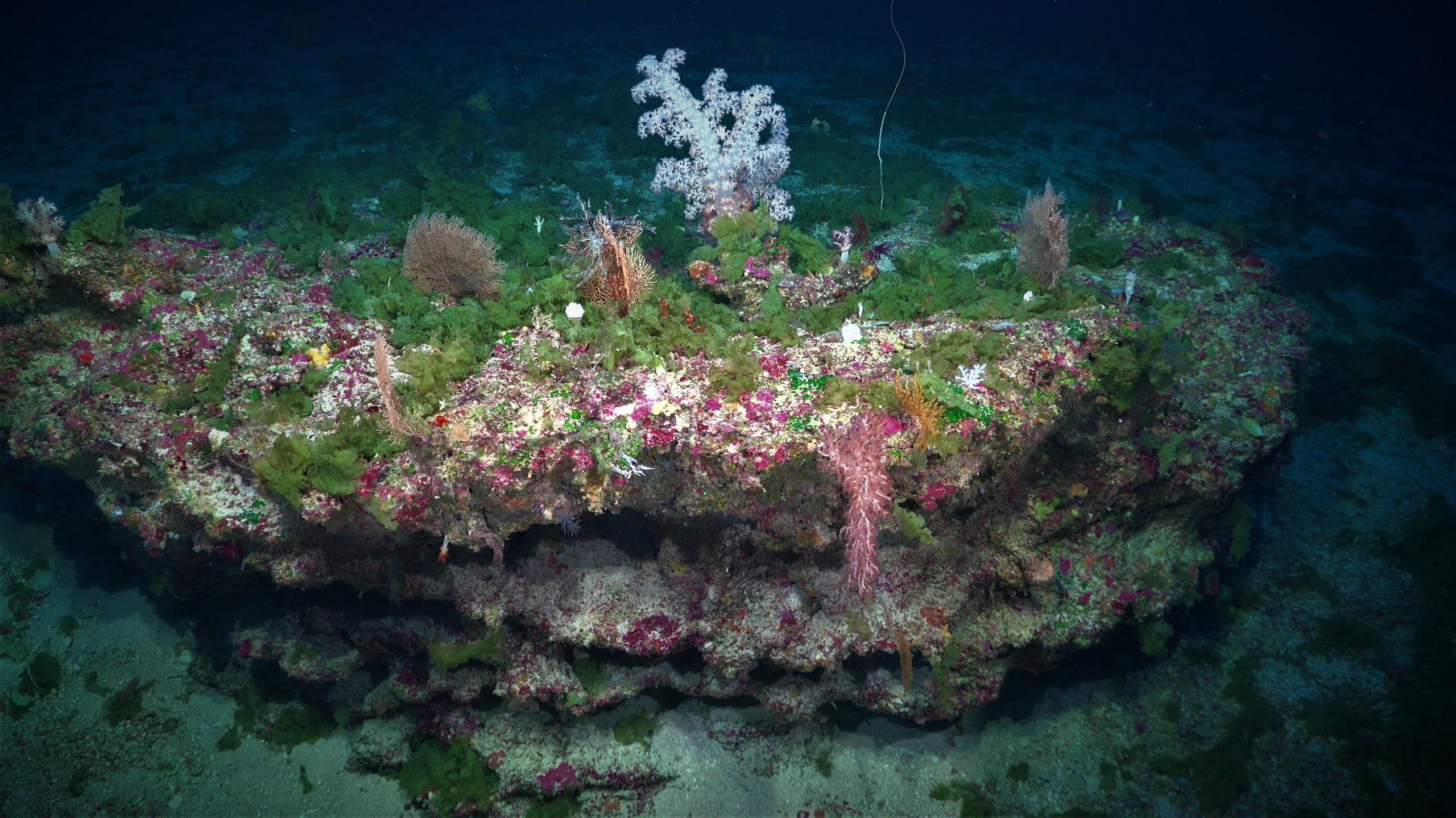
Discover More
Expedition Data
Title  | Type | Repository |
|---|---|---|
| Multibeam Bathymetry | Sonar Data | AusSeaBed |
| Metadata description | Other | Geoscience Australia |
| ADCP Data | Oceanographic Property Data | University of Hawaii SOEST |
| Vessel Underway Data | Oceanographic Property Data | Rolling Deck to Repository (R2R) |
Publications from This Expedition
Beaman, R. (2021) Schmidt Ocean Institute R/V Falkor Australia Campaign 2020-2021. Oral Presentation and Conference Paper, Sub-Committee on Regional Undersea Mapping, General Bathymetric Chart of the Oceans, Virtual from Paris, France.
30 Day Preliminary Cruise Report: Ice Age Geology of the Great Barrier Reef
McNeil, M., Nothdurft, Lk, Webster, J., Brooke, B., and Beaman, R. (2021). Preliminary Exploration of the Southern Great Barrier Reef Ice Age Submerged and Drowned Coral Reefs, Oral Presentation, Submerged Paleolandscapes of the Southern Hemispheries SHINE 2021 Workshop, virtual.
McNeil, M. (2021). No Pandemic-pause for Multi-disciplinary Reef Exploration in 2020. Reef in Review, 50, 8-10.
Beaman, R., Picard, K., and Miller, A. (2022). RV Falkor Surveys in Australia 2020-2021. Oral Presentation and Conference Paper, Hydrospatial 2021 Conference, Australasian Hydrographic Society, Cairns, Australia.
[This Article was published OPEN ACCESS]