



Dive In
About the Expedition
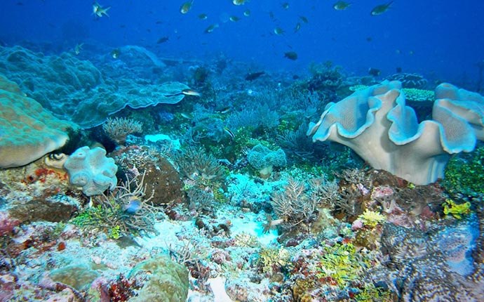
The Timor Sea expedition explored factors that affect the health of remote coral reefs and the connections between reefs. This collaborative project expands on previous research at shallower reefs, and encompasses the first ever exploration of deeper sites.
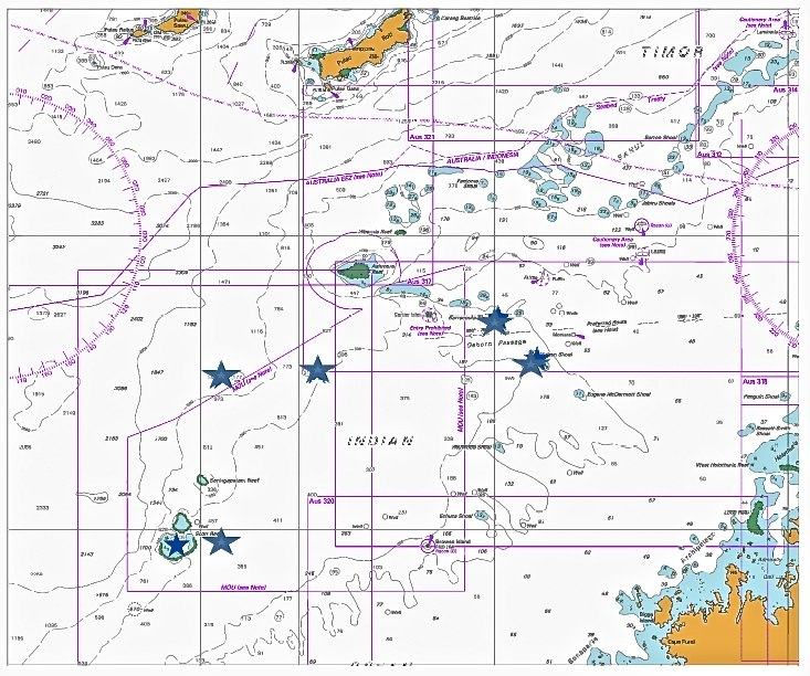
- Dive Markers
- Trackline
The Mission
About halfway between Northwestern Australia and Indonesia lie some of the planet’s most remote and healthy coral reefs, with biodiversity in places rivaling that of the much better known Great Barrier Reef.
Yet the physical connections between these reefs, the factors responsible for their health, and the conditions most likely to threaten them are not fully understood. In April, Falkor steamed to the region for a collaborative project aimed at exploring these connections. The work included expanding on previous research at shallower reefs, as well as the first ever exploration of some deeper sites.
The reefs are part of a large group of submerged and emergent features on the western margin of what’s known as the Oceanic Shoals bioregion, in the Timor Sea. Located above large natural gas reserves, they have been of increasing interest in recent years both because of their proximity to the 2009 Montara oil spill, and because of plans to station a floating liquefied natural gas (FLNG) processing facility 100 kilometers to the east, the world's the largest offshore facility ever constructed.But work before this cruise has been limited and mostly focused on a few key sites. The Schmidt Ocean Institute expedition helped identify potentially unique and sensitive habitats, and improved understanding of key ecological processes that shape the reef communities and contribute to their ability to bounce back from disturbances such as bleaching events caused by high water temperatures, and cyclones.
Greg Ivey and Ryan Lowe from the University of Western Australia, and Andrew Heyward from the Australian Institute of Marine Science, co-led the expedition, which ran from April 10 to May 4, 2015. The cruise had a science party of 14, with additional participants from both of those institutions, as well as from Stanford University in the U.S, and Griffiths University in Australia.
Far Waters
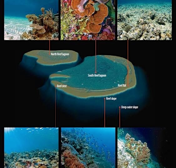
The first research site begins about 400 kilometers north of Broome, the expedition port. For 20 years, Australian researchers have been studying one of the region’s most prominent features, Scott Reef, which has emergent North and South plateaus split by a 450-meter-deep channel (see image below). The South Reef includes a 300-square-kilometer protected lagoon with depths down to about 70 meters.
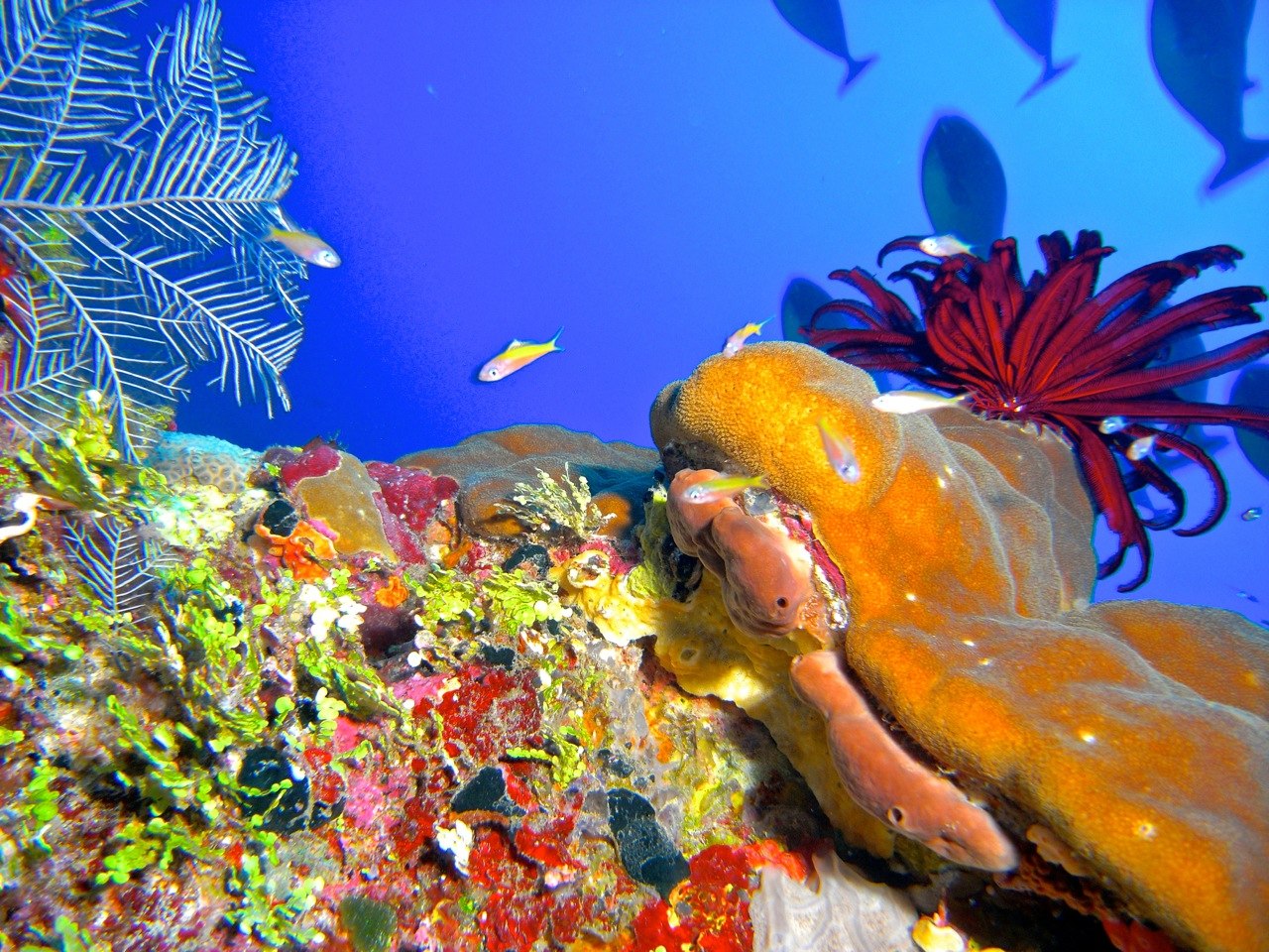
Besides scientists, the only regular visitors are Indonesian fishermen who sail there each year to gather sea cucumbers, shark fins and other species. Though such fishing does have significant impacts, the location is so remote, and human activity is so limited, that the reefs are considered some of the most pristine on the planet. Their diversity is just shy of what’s found in the Coral Triangle region to the north—bounded by Indonesia, the Philippines, and the Solomon Islands—which boasts the highest reef diversity in the world.
Corals living in the South Reef lagoon were of special interest for the team because they are found in what’s known as the mesophotic zone. This is the low end of the depth range that can receive enough light to support significant growth of reef-building species that depend on photosynthesizing algae for their food. Some research suggests mesophotic reefs could be better protected than their shallower counterparts from damages due to warming seas and other threats, a hypothesis the team explored on this expedition. To gain insight about how these deeper reefs have fared over the years relative to shallower corals, they compared new observations against information about mesophotic corals collected as far back as 1999.
Making Connections
At Scott Reef the team studied ties between oceanographic circulation and the reefs: for instance how currents in the deep channel, and water circulation in and out of the lagoon, correlate with growth and diversity patterns on the lagoon floor. Data collected helped the team to improve preliminary circulation models that exist already for Scott Reef, and begin developing models for other sites they will visit. Very little modeling work has been done below 30 meters for any of the reefs, so the team was especially interested in processing deeper data. They also worked to add finer-scale detail for areas where modeling has been done.
Researchers lowered sensors to measure average currents, the intensity of turbulent mixing, temperature, salinity, and a range of biological and chemical parameters. They also deployed moorings in the central deep channel and around the reefs with similar sensor arrays—some for short-term recovery and two that were left for long-term data collection. Using a remotely operated vehicle (ROV), they surveyed various areas to confirm where coral growth is greatest, to allow correlation to physical parameters and to features identified on high-resolution sonar maps.
The deep channel between the reefs is likely the main path for water into the mesophotic reef habitats, in contrast to the wind and tidally-driven surface flows over the shallower habitats. Past research in the area has suggested that the large subsurface waves known as internal tides—formed below the surface when tidally driven seawater interacts with the sloping seafloor around the reefs—may play a major role in delivering nutrients to the reefs and governing temperature patterns.
Using the moorings and observations from Falkor’s sonar system, the team gathered data across a full tidal cycle to calculate fluxes of nutrients and heat, and determine which processes are indeed most important. They conducted similar monitoring within the reef lagoon, along with collecting water samples from Falkor’s small boats for nutrient analyses. All told, the work provided the broadest view ever of circulation and exchange within the full reef-lagoon system.
Middle Ground
Once work was completed at Scott Reef, Falkor moved to nearby deeper shoals for similar work. Nine shoals have been previously mapped and the team planned on studying more. However, only short visits were made to the nearby Echuca and Vulcan submerged shoals, gathering limited data due to the poor weather and sea state. Goals included further refining understanding of key patterns, and also to looking for differences.
While the Scott shoal has a shallow rim and breaking surf, the shoals that was be targeted during this second phase of the expedition do not. They rise from depths of 100 to 200 meters, up to 15 or so meters below the surface. This can mean very different current patterns, and different parameters may prove the most important in determining coral diversity. The team also explored a hypothesis based on previous research that water mixing at the edges of these shoals may bring up nutrients to support more abundant fish populations.
Unexplored Deep Reefs
Finally, the team moved to an even deeper—and unexplored—reef system with plateaus that rise from depths of about 500 meters up to 200 meters below the surface. Very little information about the two target areas was available, so work here required extensive mapping using Falkor’s sonar.
These reefs are located below the reach of sunlight, meaning only deepwater species are found. Here, corals have to filter water, so the team was on the look-out for very different physical factors associated with their habitat patterns. Internal tides may also play a key role here as the mixing they cause can move algae and other food found in shallower waters, down to these depths, providing food to filter feeders such as deep-sea corals.
Using Connections
The work was done in order to better understand the roles of water flow in maintaining individual reefs and shoals, and the regional connectivity between sites. Reefs don’t exist as isolated islands; they are connected to and dependent on the currents that bathe them with nutrients and deliver the offspring from other reefs that are vital to their continued health. And each reef in turn contributes its own progeny to the currents that reach other areas.
Biologically, both the emergent reefs and submerged shoals are like stepping stones across the Timor Sea, and better understanding the connections between them will offer substantial benefits. There might, for instance, be current patterns that suggest strong connections between widely separated reef shoals and reveal the places where drilling accidents would be most likely to deliver oil to reefs. This is important information for environmental assessments of proposed exploration and drilling activity, and also for predicting impacts if a spill were to occur. At the more basic level, better appreciation for connections between reefs and oceanographic circulation patterns should help researchers design more effective reef conservation and monitoring programs.
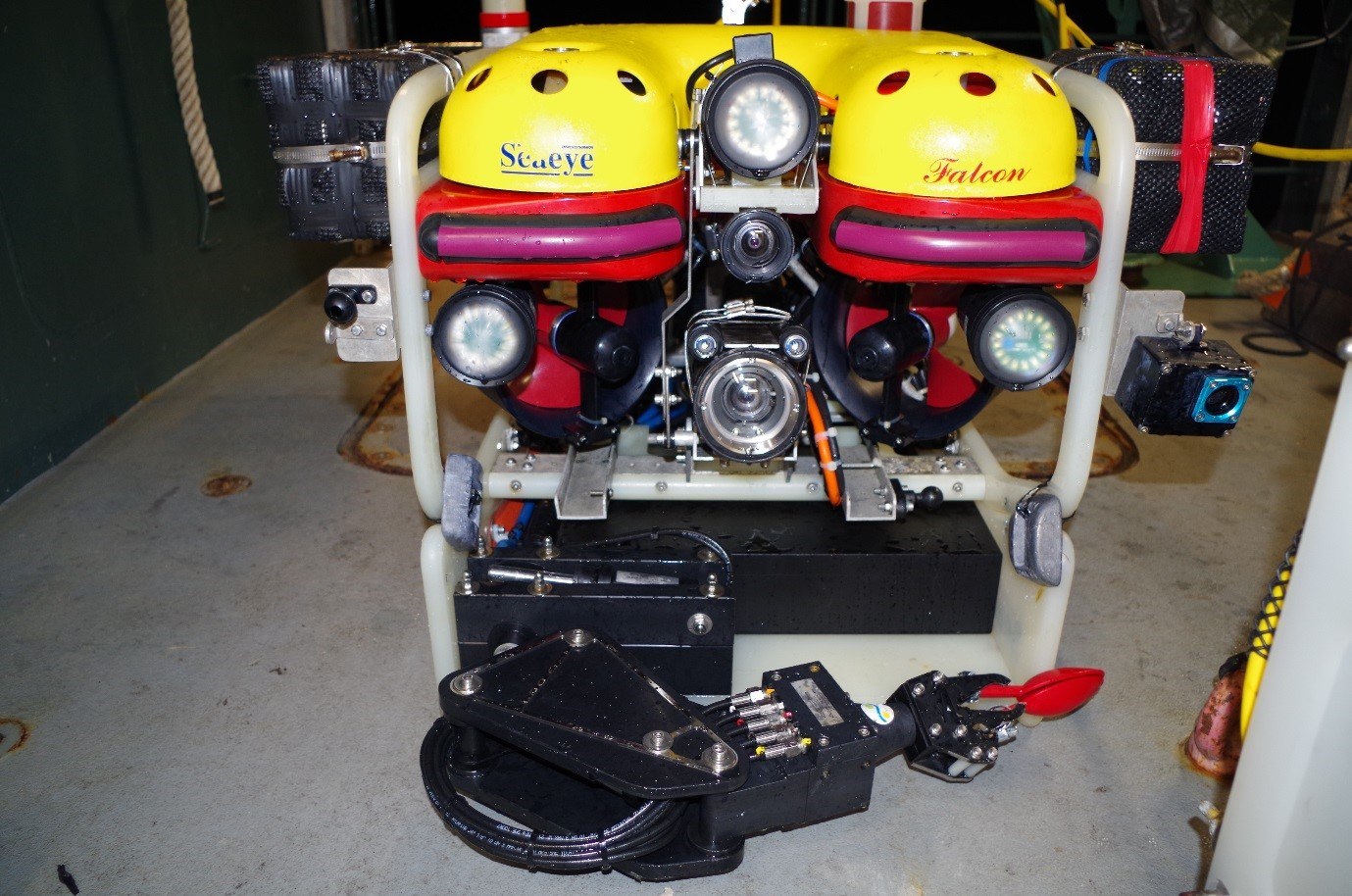
Watch SAAB SeaEye Falcon ROV video archive

Team and Collaborators




Explore
Updates from the Ship
All Ship Updates
- 01
Curtains in the ocean: The “Turbo Team”
26 November 2015
Read
- 02
Mission Possible: Supercomputing at Sea
6 May 2015
Read
- 03
Reflections at Voyage End
3 May 2015
Read
- 04
Heading home … some initial thoughts on science findings after three weeks at sea
2 May 2015
Read
- 05
Until next time….
1 May 2015
Read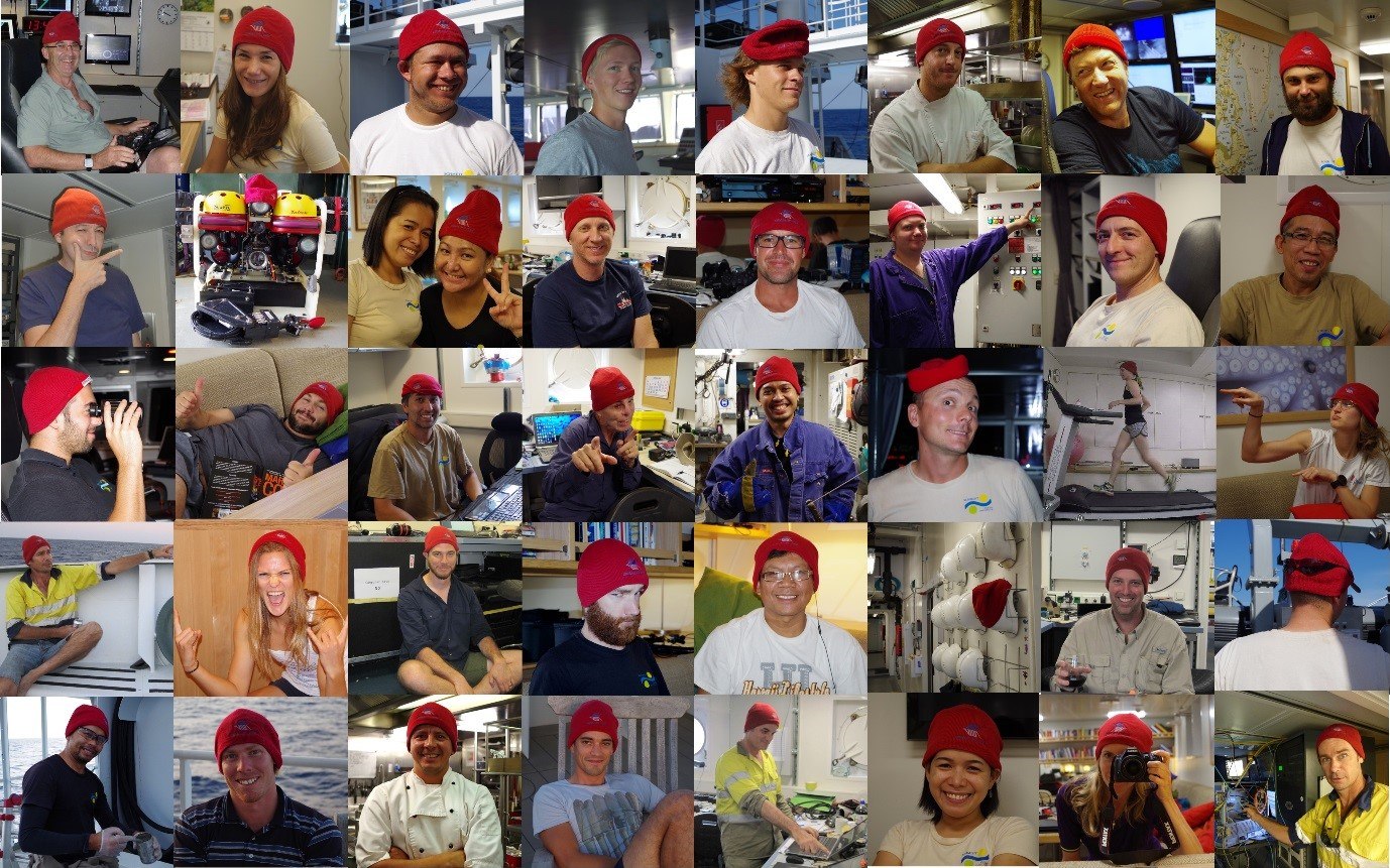
- 06
Coral diversity in more depth
30 April 2015
Read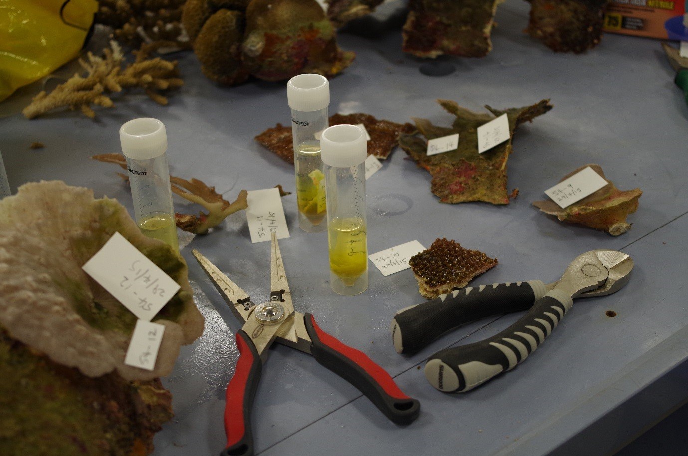
- 07
24hr Operations
29 April 2015
Read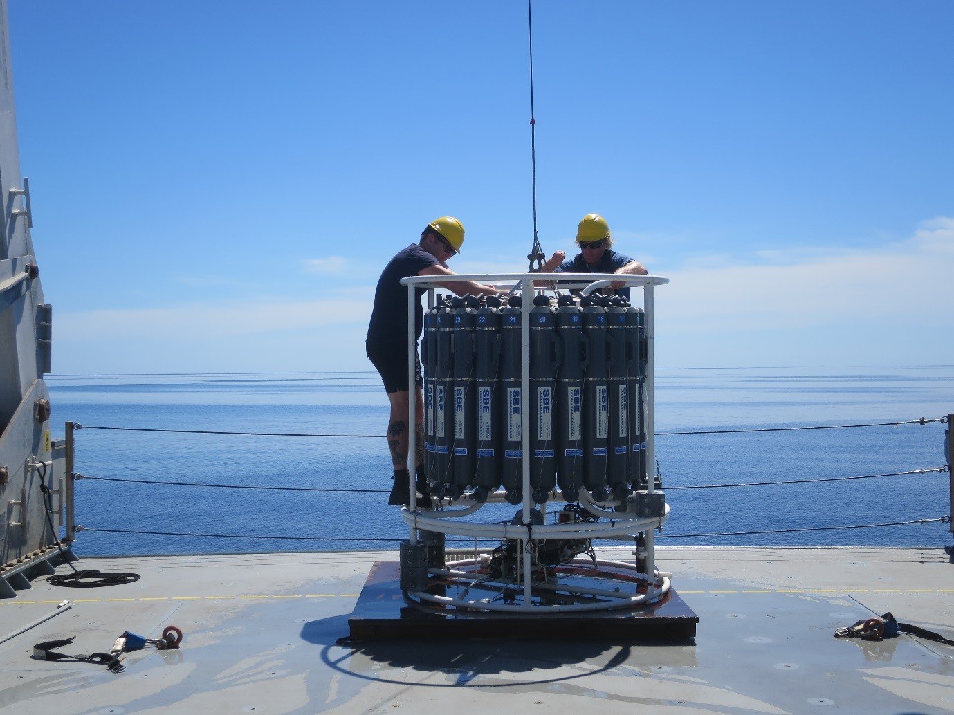
- 08
Coral health check
28 April 2015
Read
- 09
The choreography of science at sea
27 April 2015
Read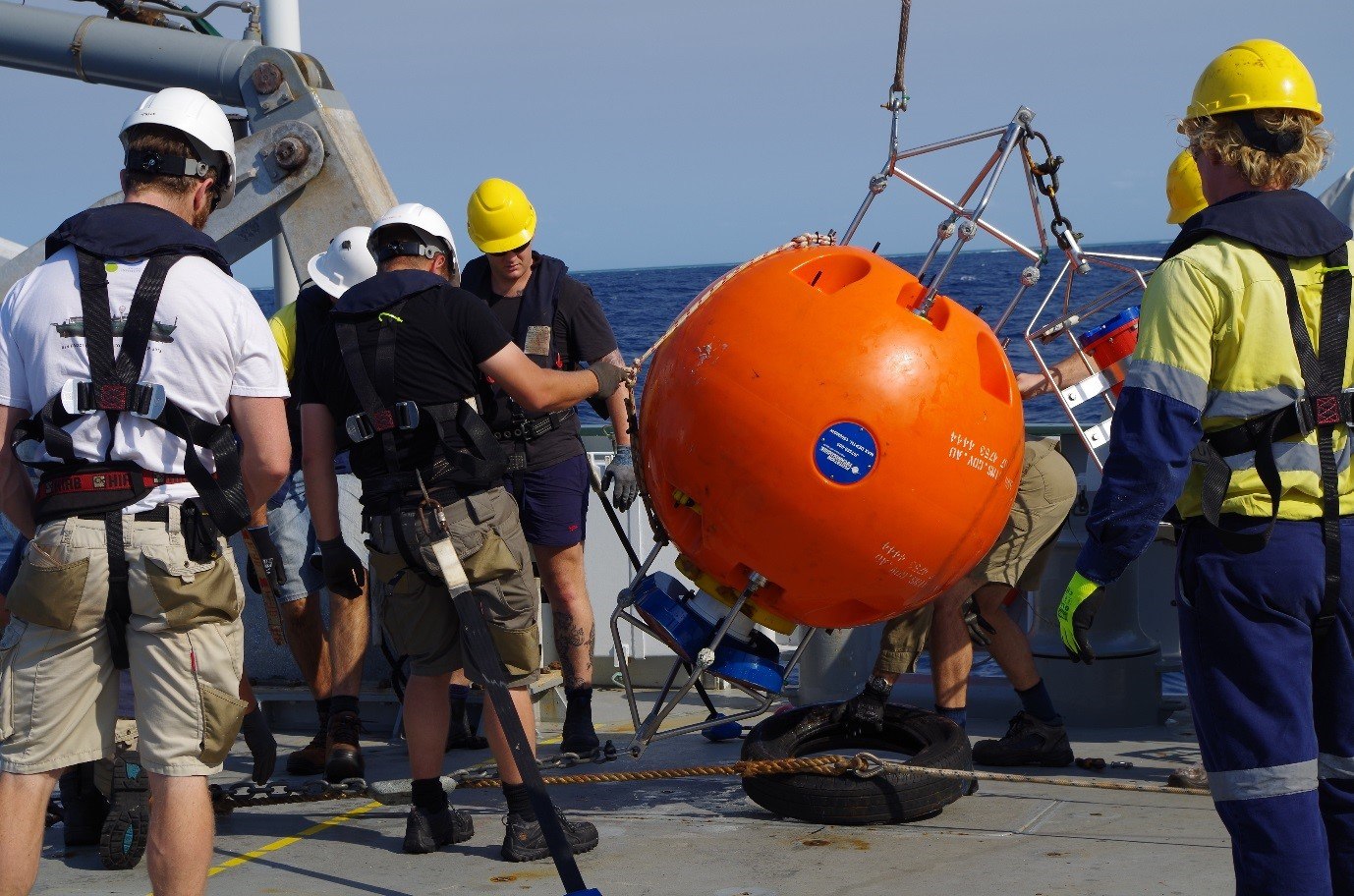
- 10
Connecting the currents
26 April 2015
Read
- 11
ANZAC Day at Scott Reef
25 April 2015
Read
- 12
The search for unknown unknowns
24 April 2015
Read
- 13
Dynamic reef environments
22 April 2015
Read
- 14
Sunken gardens: Revealing secrets of the Timor Sea shoals
21 April 2015
Read
- 15
Heating the Reef
20 April 2015
Read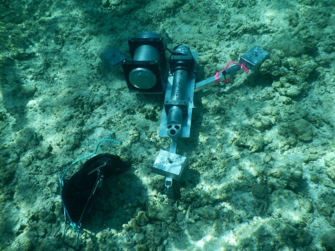
- 16
Filtering the ocean for answers… (one litre at a time)
19 April 2015
Read - 17
Predicting the Ocean on the Ocean
19 April 2015
Read
- 18
Sounding out hidden reefs
18 April 2015
Read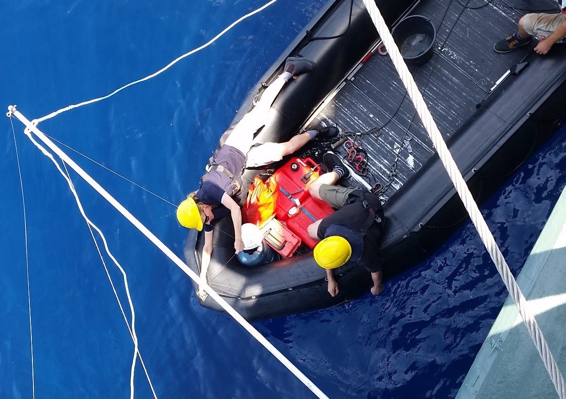
- 19
Feeding the reef
17 April 2015
Read
- 20
Rolling in the deep
16 April 2015
Read
- 21
The Ocean Going Turbo
15 April 2015
Read
- 22
Ocean drivers of reef productivity
14 April 2015
Read
- 23
Seeking the spawn
13 April 2015
Read
- 24
Living on the edge
12 April 2015
Read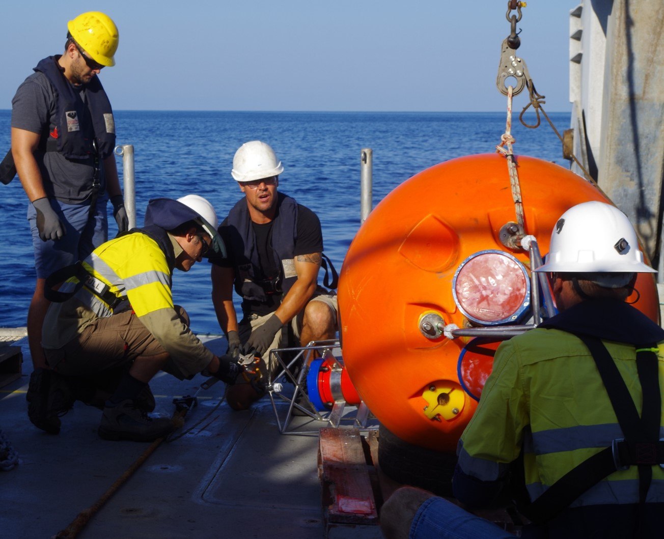
- 25
Remote Reefs
11 April 2015
Read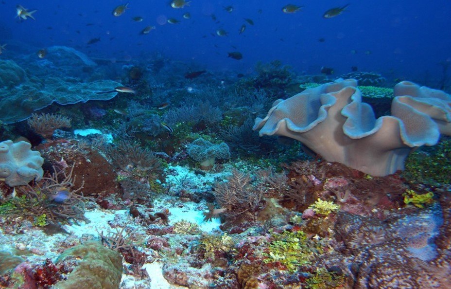
Divestreams
View all DivestreamsDiscover More
Expedition Data
Title  | Type | Repository |
|---|---|---|
| Raw and processed multibeam bathymetry | Sonar Data | Marine Geoscience Data System (MGDS) |
| Compiled video with key expedition highlights | Captured Image/Video | YouTube |
| Captured Imagary | Captured Image/Video | Australian Ocean Data Network (AODN) |
| Temperature, other variables, and moorings and shallow instrument data | Oceanographic Property Data | Australian Ocean Data Network (AODN) |
| Ingested interactive map with imagery | Mapping Data, Captured Image/Video | North West Atlas |
| ROV metadata | Other | eAtlas |
| Vessel Underway data | Oceanographic Property Data | Rolling Deck to Repository (R2R) |
Publications from This Expedition
Cruise Report: Timor Sea Reef Connections
Rayson, M., Bluteau, C., Ivey, G. and Jones, N. (2016). Observations of high-frequency internal waves and strong turbulent mixing in a channel flow between two coral atolls, Conference Proceedings, Proceedings 8th International Symposium on Stratified Flows, San Diego, California, USA.
Rayson, M., Bluteau, C., Ivey, G. and Jones, N. (2016). Observations of high-frequency internal waves and strong turbulent mixing in a channel flow between two coral atolls. Oral Presentation, 8th International Symposium on Stratified Flows, San Diego, California, USA.
Lowe, R. (2016). Oceanic Drivers of a Remote Atoll Reef System: Browsing Scott Reef. Oral Presentation, Shell EMI Seminars,Perth, AUS.
Maticka, S. (2016). Hydrodynamics and Thermal Regime of a Shallower Reef-Atoll Rim. Oral Presentation, Ocean Sciences Meeting 2016,New Orleans, LA, USA.
Miller, J., Puotinen, M., Thumbs, M., Radford, B., and Heyward, A. (2016). Innovation in Spatial Analysis Using Examples from Scott Reef and the Kimberly’s. Oral Presentation, Woodside Science Seminar Series,Perth, AUS.
Moore, C., Heyward, A., and Radford, B. (2016). Comprehensive and Accessible Information Promoting the Biodiversity, Heritage and Value of our North West Marine Region. Guest Lecturer, Charles Darwin University, Darwin, AUS.
Moore, C., Heyward, A., and Radford, B. (2016). Comprehensive and Accessible Information Promoting the Biodiversity, Heritage and Value of our North West Marine Region. Oral Presentation, Guest Atlas of Living Australia Workshop,Perth, AUS.
Moore, C., Heyward, A., and Radford, B. (2016). Comprehensive and Accessible Information Promoting the Biodiversity, Heritage and Value of our North West Marine Region. Oral Presentation, PTTEP Australia Science Seminar,Perth, AUS.
Green, R., Lowe, R., and Buckley, M. (2018). Hydrodynamics of a tidally-forced coral reef atoll. Journal of Geophysical Research: Oceans, 10.1029/2018JC013946.
Green, R., Jones, N., Rayson, M., Lowe, R., Bluteau, C., and Ivey, G. (2018). Nutrient Fluxes into an Isolated Coral Reef Atoll by Tidally Driven Internal Bores. Limnol Oceanogr., doi:10.1002/lno.11051
Rayson, M., Ivey, G., Jones, N., and O. Finger. (2018). Resolving high-frequency internal waves generated at an isolate coral atoll using an unstructured grid ocean model. Ocean Modeling, 122 (67-84), doi: 10.1016/j.ocemod.2017.12.007.
Heyward A., Radford B. (2019) Northwest Australia. p 337-349 In: Loya Y., Puglise K., Bridge T. (eds) Mesophotic Coral Ecosystems. Coral Reefs of the World, vol 12. Springer, Cham. pp1003.https://doi.org/10.1007/978-3-319-92735-0