




Dive In
About the Expedition
The Galápagos Islands are home to a dazzling array of cold-water corals. While they are understudied compared to the shallow-water corals, a subset of these deep-dwelling animals is even more shrouded in mystery—cold-water corals living on cliffs. The depth and inaccessibility of vertical corals to ship-based sensors present significant hurdles to studying these creatures. Chief Scientist Katleen Robert and her multidisciplinary team will overcome these challenges to map and characterize this extraordinary ecosystem while defining its environmental drivers. The team will deploy a number of advanced technologies including a laser scanner that will create an ultra-high resolution three-dimensional reconstruction of vertical cold-water coral reefs. As the Galápagos Islands are a protected area with little human impact, its cliff-dwelling coral reefs likely represent these ecosystems in their pristine condition and can serve as a baseline for understanding change.
- Dive Markers
- Trackline
The Mission
An Important Ecosystem in a Pristine Environment
The Galápagos Islands are a UNESCO World Heritage site, and the Galápagos Marine Reserve is one of the largest marine protected areas in the world. These protections, combined with the verticality of the cliffs, mean that these cold-water coral ecosystems have been untouched by trawling and other destructive activities. The near-pristine nature of the Marine Reserve will allow Chief Scientist Katleen Robert with Memorial University of Newfoundland and her team to study ideal and undisturbed ecosystems—vertical cold-water corals (CWC) as they “should” be—enabling the creation of baseline data to share with local colleagues for use in regional projects.
While tropical or shallow-water corals are more well-known and much more thoroughly studied, CWC constitutes roughly half the global population of corals. Living in depths between 50 and 6,000 meters, they are distributed widely across the Ocean. Vertical environments may be globally critical habitats for CWC, accounting for an estimated ~10% of surface area, but these remain mostly unexplored. This knowledge gap, especially pronounced in the southern hemisphere, makes this expedition essential in building a more balanced understanding of global corals.
Communities Forged by the Environment
CWC, long-lived but non-moving, are particularly sensitive to their environment. Lacking zooxanthellae, the symbiotic algae that provide energy to shallow-water coral, CWC instead feed on tiny organisms carried in passing currents. Once attached to cliff face, their immobility puts them at the mercy of these currents to support their colonies. Water column dynamics and the physical features of vertical reef surfaces shift and steer the current flow through the ecosystem. The effects of these interactions might create areas of scarcity or layers of nutrients that impact feeding conditions for CWC—their survival depends on it.
Unlike other CWCs, cliff-dwelling communities grow “out” rather than “up,” and this orientation might limit viable areas for coral colony expansion. The connection between the geology and the proliferation of CWC is another key piece to understanding the environmental conditions shaping these vertical reefs. The team will perform extensive analyses of collected samples to characterize and connect habitat geology to CWC.
The Laser Scanner—A Powerful Tool for Mapping
Robert and her team plan to build a foundational map for connecting environmental drivers to habitat complexity, community composition, and biodiversity. It’s an ambitious map—an incredibly detailed 3-D reconstruction of the habitat that includes cliff morphology and additional layers of biological information. To meet this challenge, the team will adopt a technology not widely applied in studying these communities—ultra-high-resolution laser scanning. Like multibeam sonar, a commonly used mapping tool, a laser scanner creates a point cloud of data rather than visual imagery. Unlike multibeam, however, it can achieve an incredibly fine resolution—less than two millimeters.
Using ROV SuBastian as a survey vehicle, the team will map these vertical reefs to create accurate and immersive 3-D reconstructions of the environments. These maps will allow the team to understand the distribution and diversity of organisms while serving as a baseline for future surveys to reveal very fine-scale patterns like coral growth and the loss of individual polyps. Supplementary sampling, , and visual annotationwill precisely locate CWC in the point cloud, classify targets as living or dead, and identify individual species. Ultimately, the team will create an accessible digital reconstruction of cliff-dwelling coral ecosystems—a data visualization that allows everyone from scientists to second-graders to visit the deep sea.
The team’s work on this expedition—building the map, studying the reef-supporting substrate, and mapping how food-delivering currents swirl around the cliff faces—will hone their understanding of how CWC rely on and engage with their environment. Every organism is shaped by its surroundings, and studying one in an undisturbed setting is invaluable. The expedition will advance our knowledge of these understudied ecosystems while preserving a record of a healthy, functional vertical coral community—a useful tool in gauging human impact and shaping future conservation efforts.
Team and Collaborators
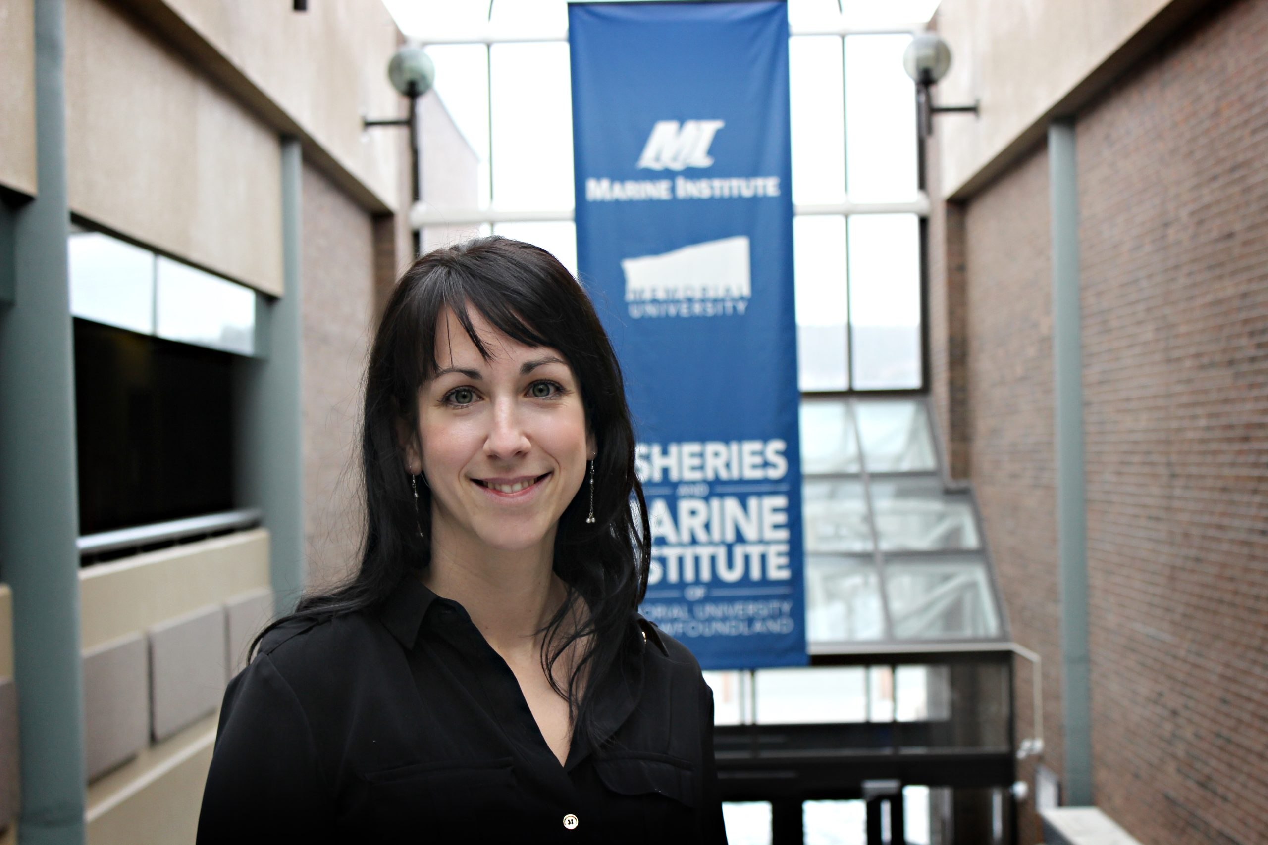
Katleen Robert
Chief Scientist
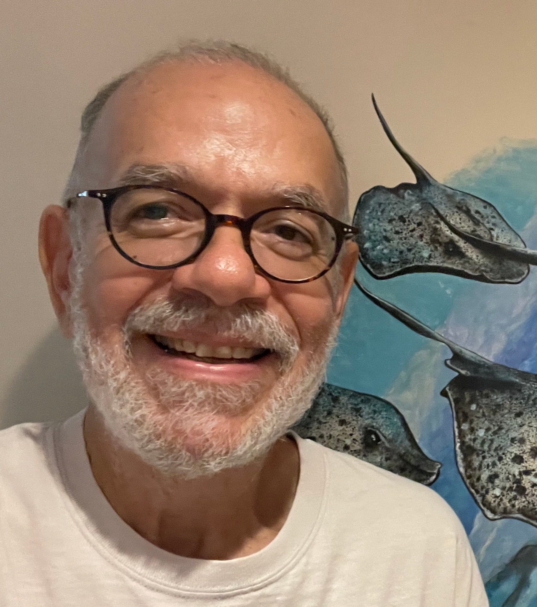
Jorge Cortés-Núñez
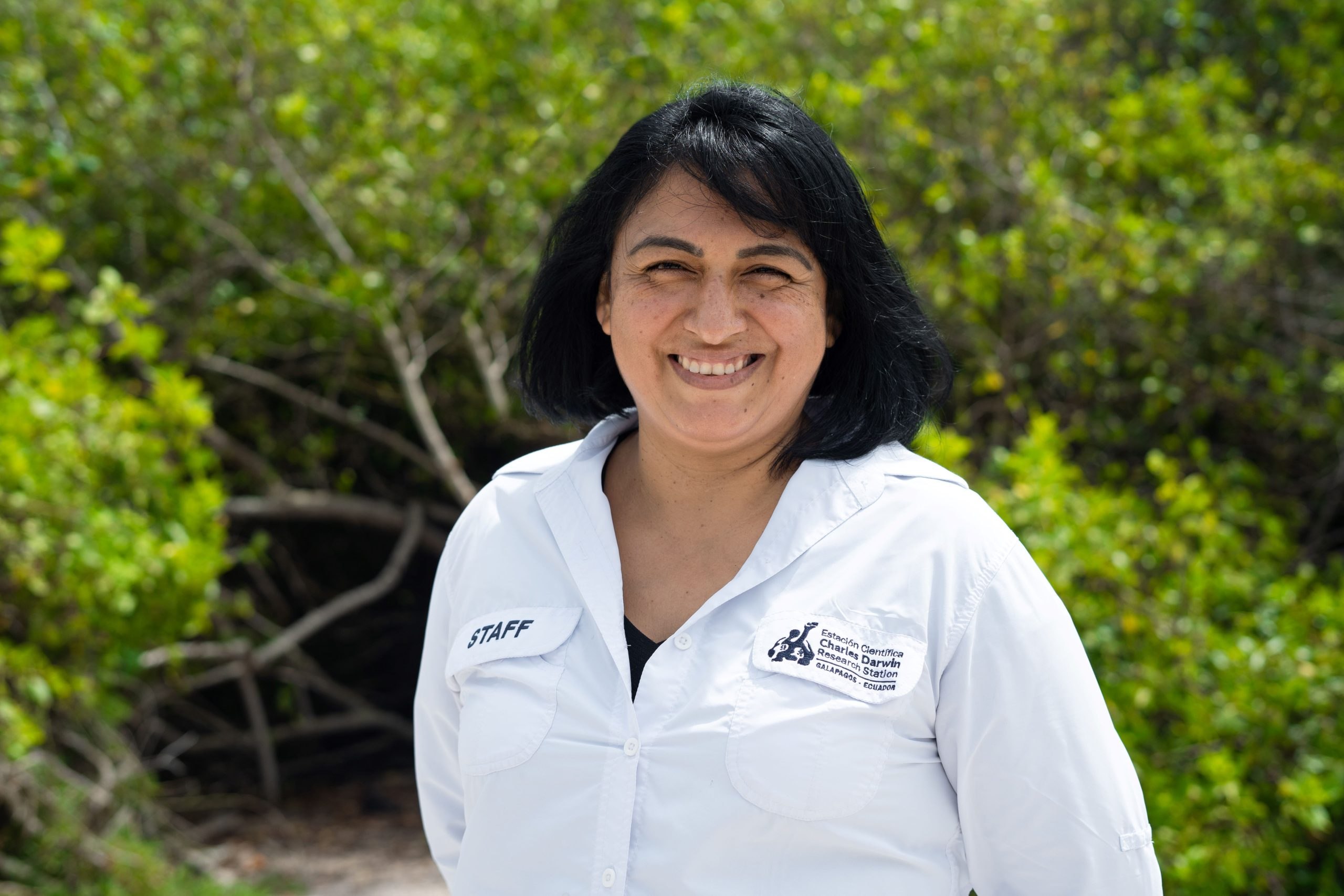
Nathalia Tirado
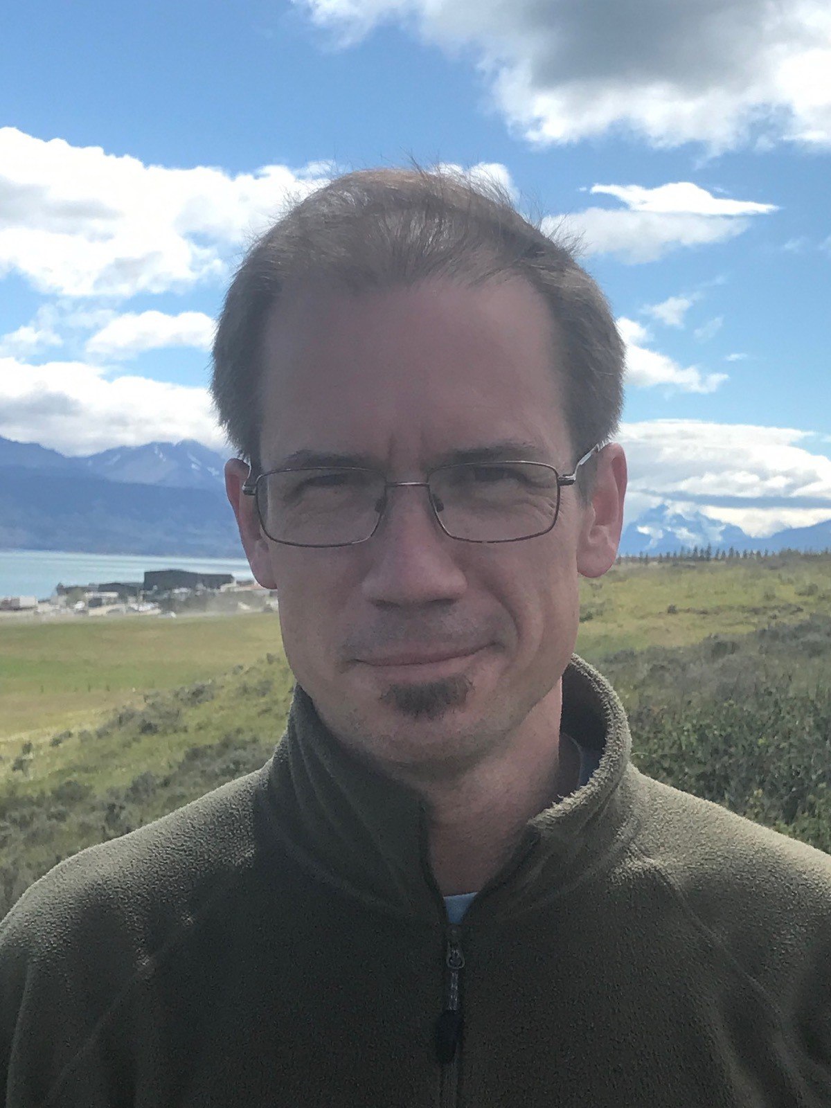
Rob Hall

Claudio Lo Iacono
Catherine Wardell
James Kershaw

María José Barragán Paladines
Elsa Salazar
Tim Shank

Stuart Banks
Observer
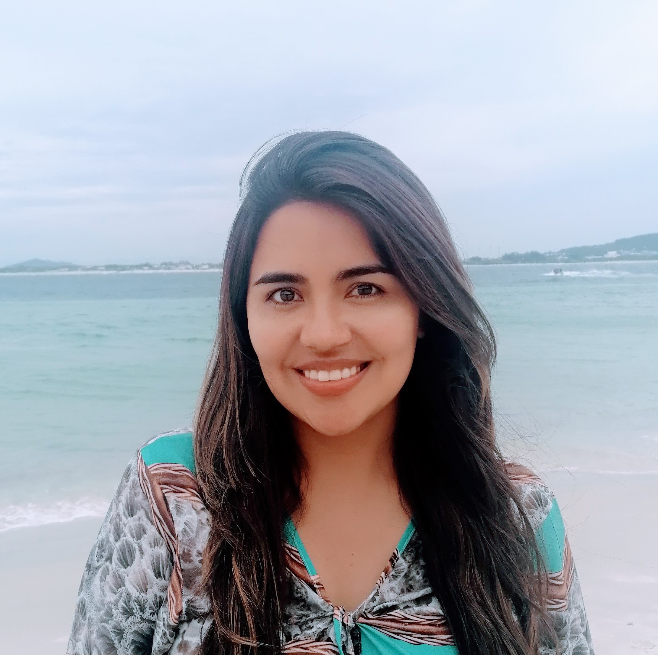
Ana Belen Yanez
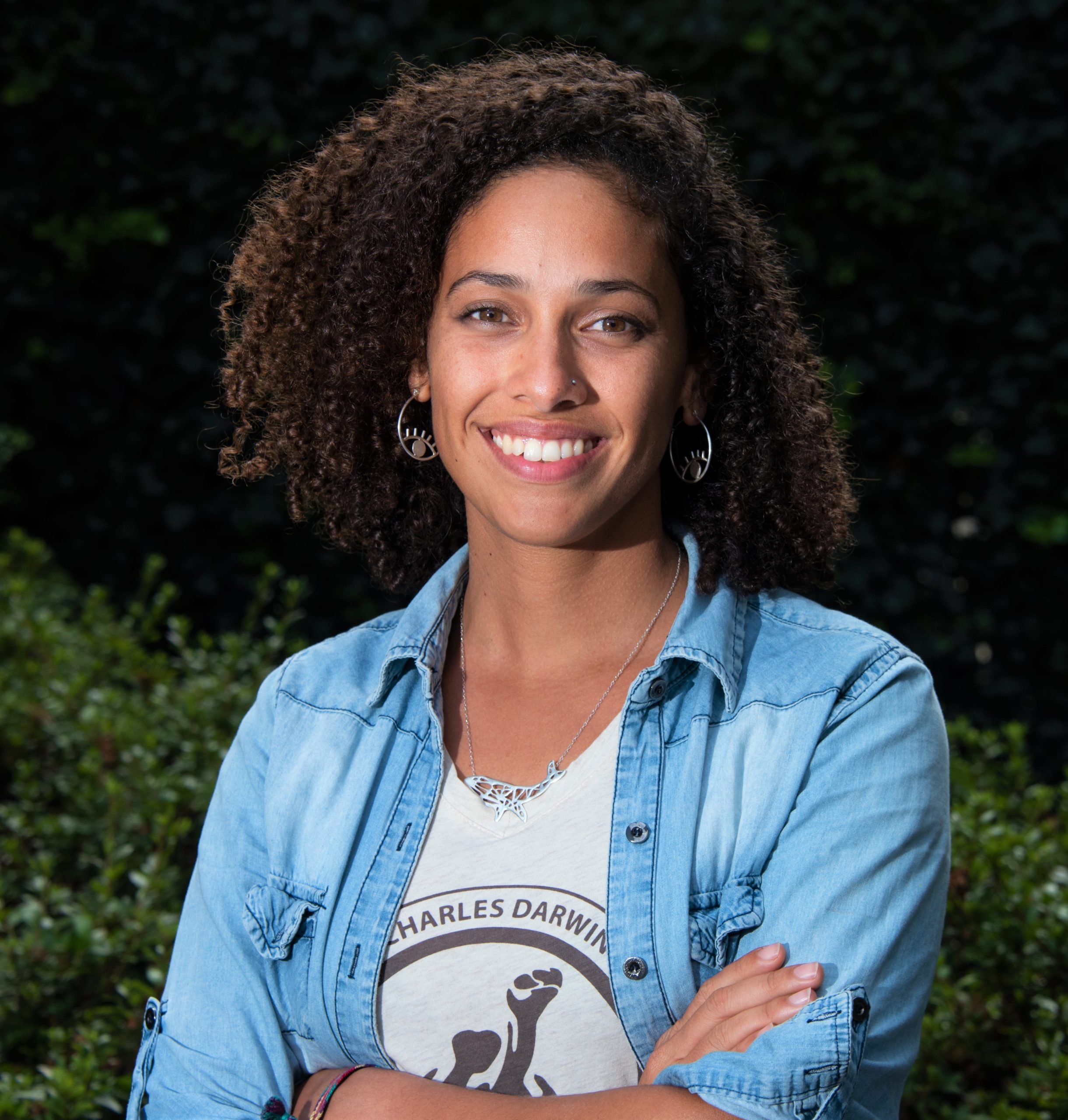
Salome Buglass
Odalisca Breedy Shadid
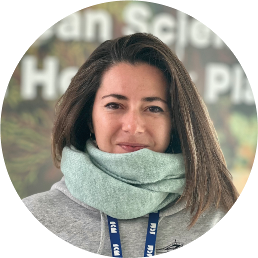
Ariadna Martinez

Andrea Giulia Varzi
Misha Vallejo Prut
Multimedia Correspondent
Veerle Huvenne
Emmeline Broad
Salem Morsy
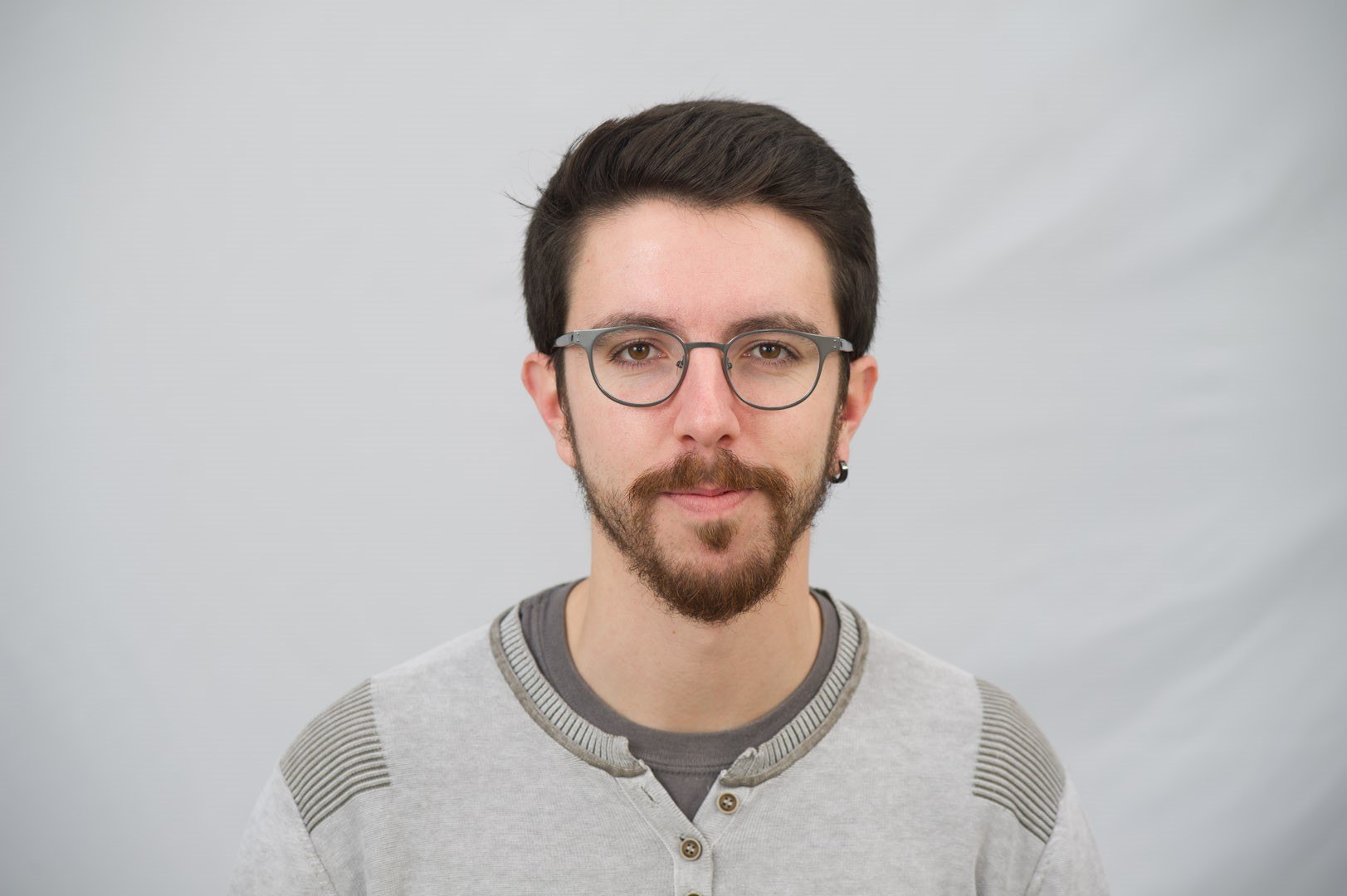
Guillem Corbera Pascual
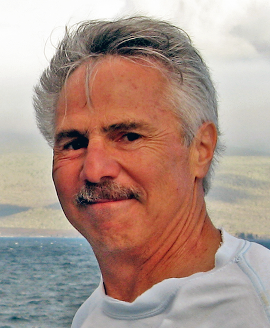
Daniel Fornari
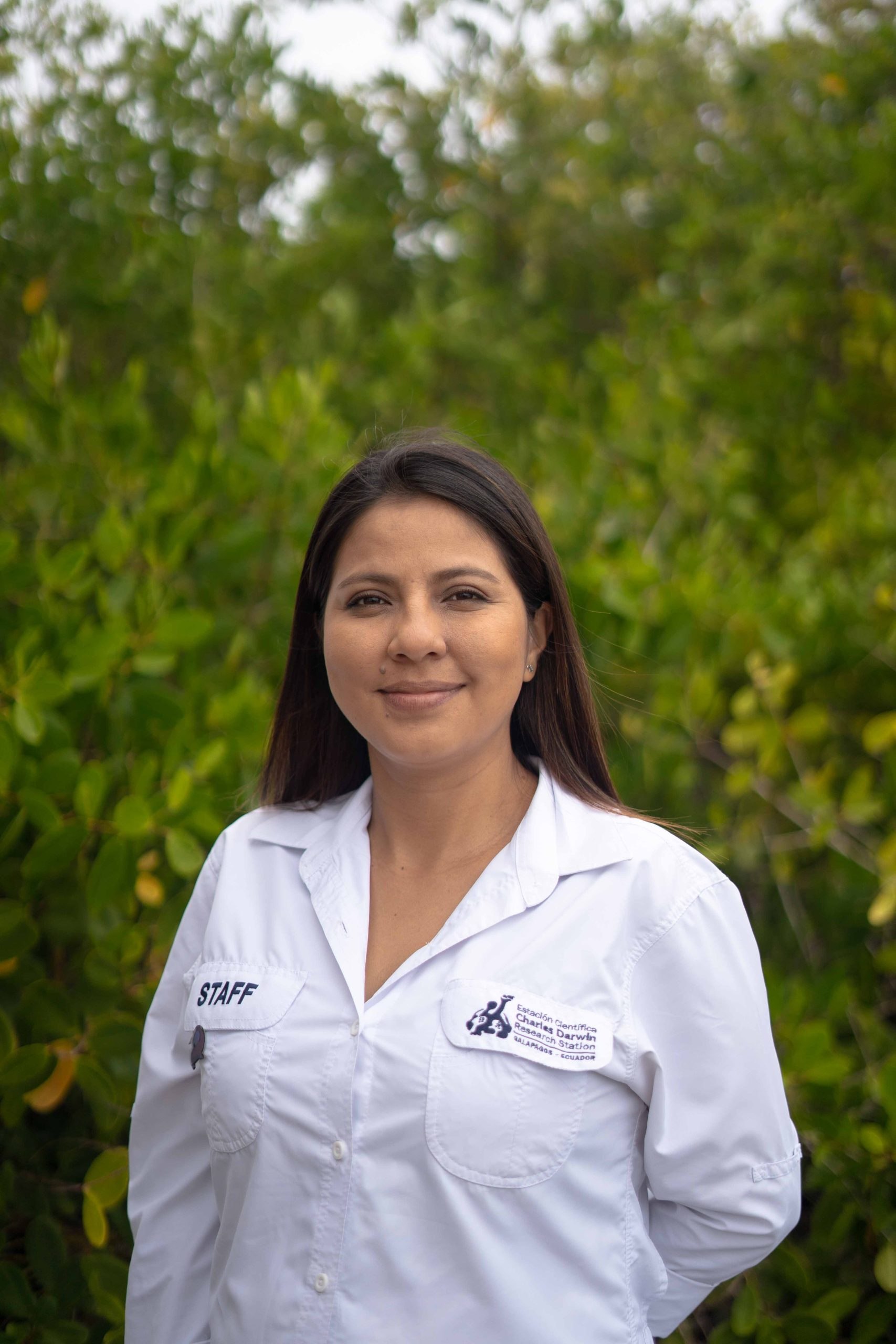
Paulina Sepa-Egas
Aaron Micallef






Explore
Updates from the Ship
All Ship Updates
- 01
Vertical Reefs of the Galápagos | 4K ROV Highlights
25 October 2023
Read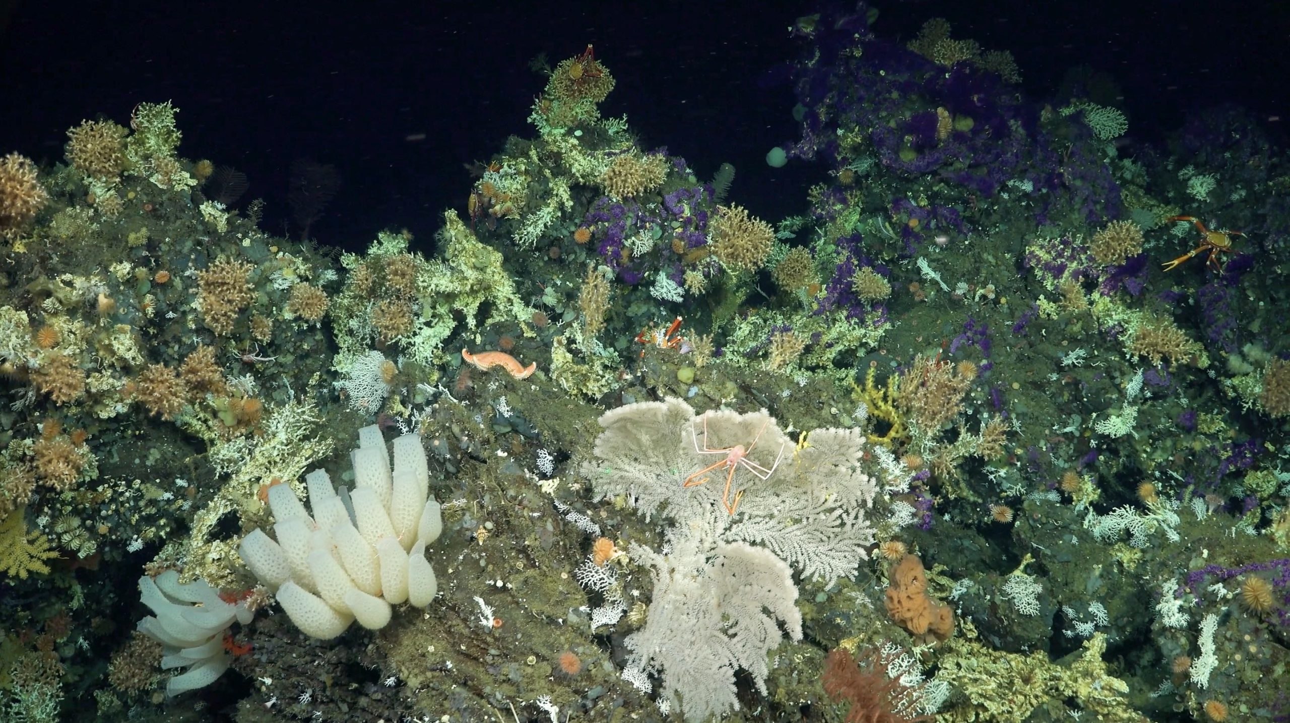
- 02
Studying Oxygen Minimum Zones | Video Update
23 October 2023
Read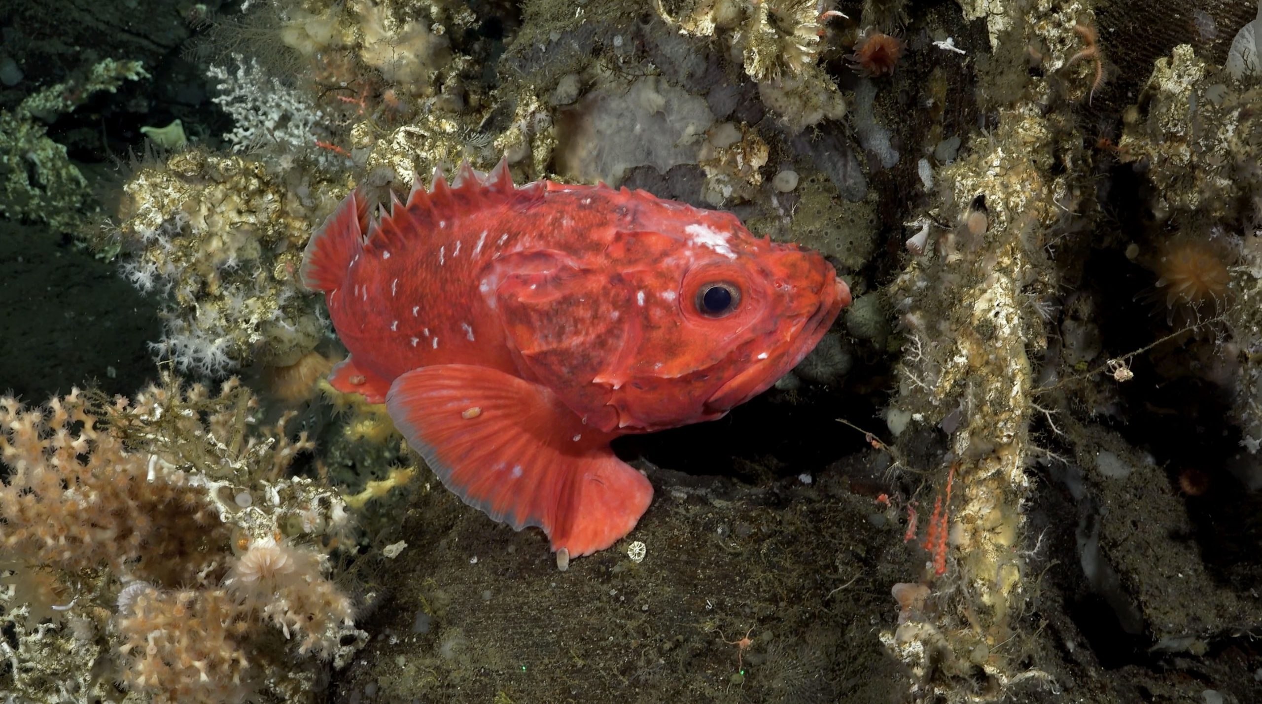
- 03
Coral Connections | Video Update
13 October 2023
Read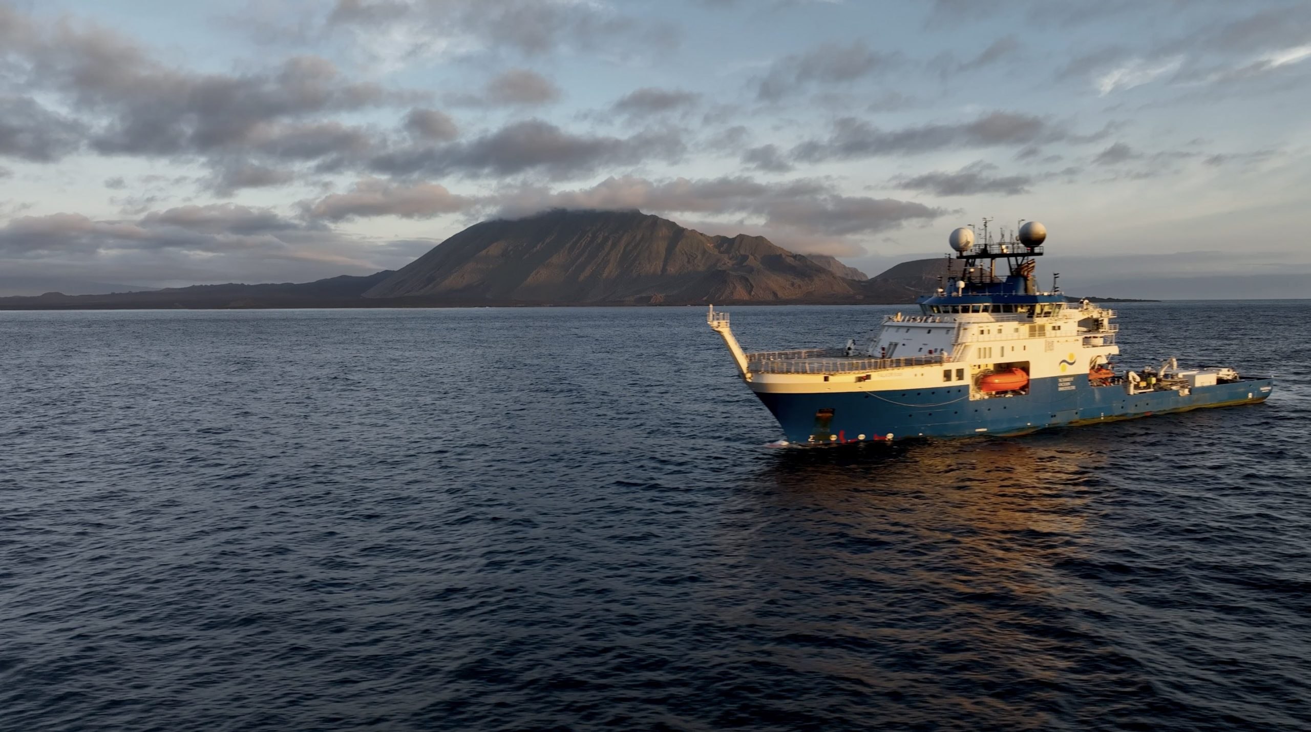
- 04
Deep Sea Details | Video Update
5 October 2023
Read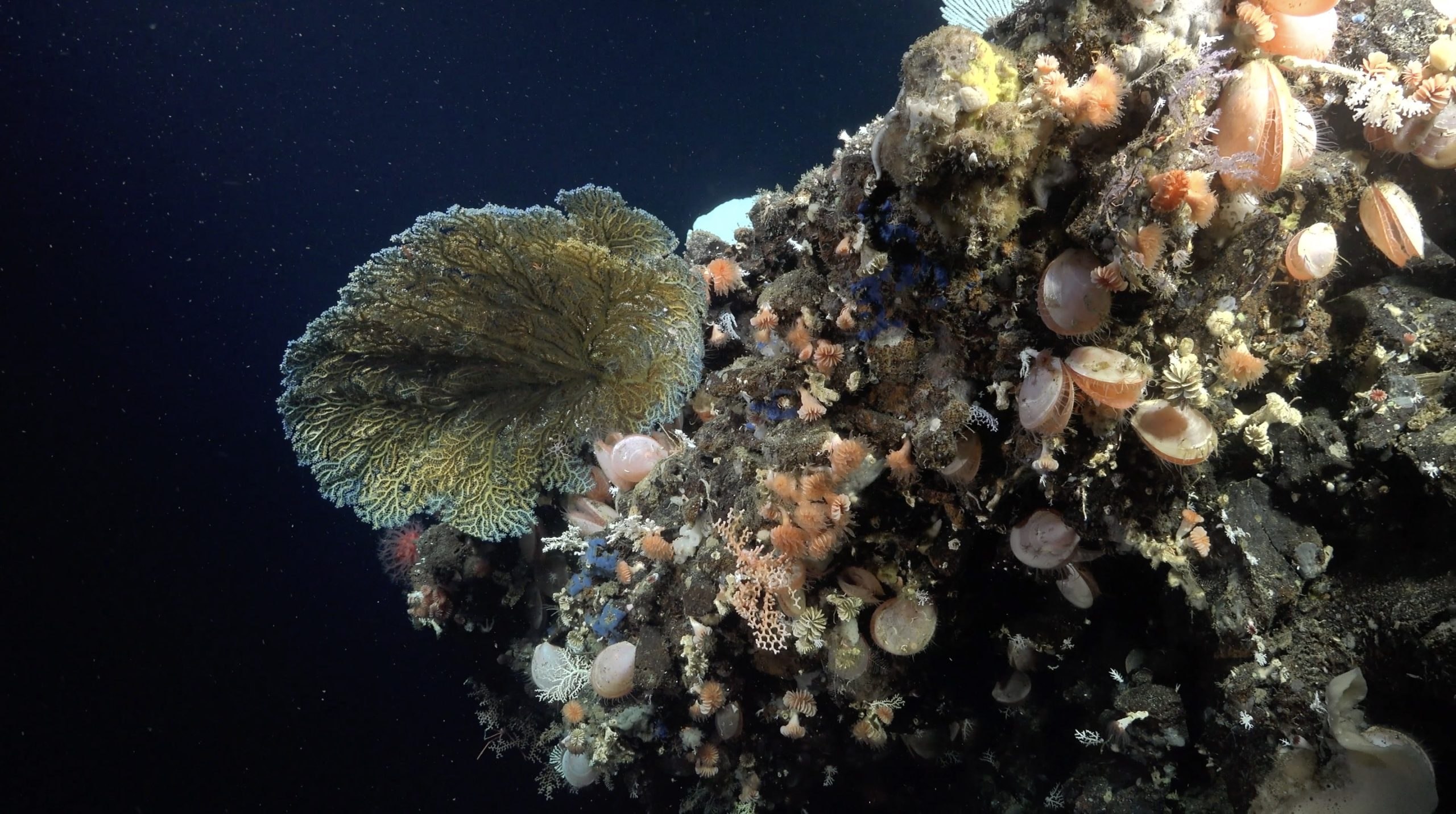
- 05
Oasis of Biodiversity | Video Update
28 September 2023
Read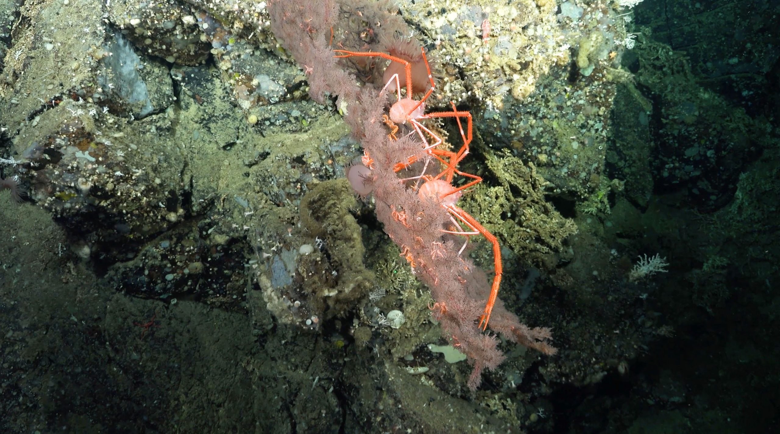
Related Galleries
View AllWe are happy to offer a streamlined request process when usage falls within the parameters outlined in the Creative Commons Attribution-Noncommercial-ShareAlike 4.0 International (CC BY-NC-SA 4.0) License. However, due to our legal status as a 501(c)(3) private operating foundation, no media produced by Schmidt Ocean Institute may be used in attempting to influence legislation or lobbying.
Attribution-NonCommercial-ShareAlike | CC BY-NC-SA
Under this Creative Commons License, you are free to:
Share — copy and redistribute the material in any medium or format
Adapt — remix, transform, and build upon the material
Under the following terms:
Attribution. You must give appropriate credit, provide a link to the license, and indicate if changes were made. You may do so in any reasonable manner, but not in any way that suggests the licensor endorses you or your use.
NonCommercial. You may not use the material for commercial purposes.
ShareAlike. If you remix, transform, or build upon the material, you must distribute your contributions under the same license as the original.
Not sure this license fits your use? Head over to our Image Requests page to learn more
Divestreams
View all Divestreams
Weekly Videos
View all Weekly VideosDiscover More
Expedition Data
Title  | Type | Repository |
|---|---|---|
| Geological specimens (Field Program/Cruise: FKt230918) | Rock Samples | SESAR |
| Biological specimens | Biological Samples | Ocean Biodiversity Information System (OBIS) |
| All specimen metadata | Biological Samples | Ministerio del Ambiente, Agua y Transicion Ecologica de Ecuador |
| ROV-mounted ADCP | Oceanographic Property Data | Marine Geoscience Data System (MGDS) |
| ADCP data | Oceanographic Property Data | University of Hawaii SOEST |
| Vessel Underway Data | Oceanographic Property Data | Rolling Deck to Repository (R2R) |
| ROV-mounted multibeam data | Sonar Data | Marine Geoscience Data System (MGDS) |
| GIS data | Mapping Data | Other |
| Rock sample list with IGNS | Rock Samples | Zenodo |
| ROV SuBastian Sensor Data | Oceanographic Property Data | Marine Geoscience Data System (MGDS) |
| ROV Image Data | Captured Image/Video | Marine Geoscience Data System (MGDS) |
| ROV Event Log Data | Other | Marine Geoscience Data System (MGDS) |
Processed Multibeam from Falkor (too) | Sonar Data | Marine Geoscience Data System (MGDS) |
| Laser Scanner Data | Imaging sensors, hyperscpectral, optical data | Marine Geoscience Data System (MGDS) |
Publications from This Expedition
- [This Article was published OPEN ACCESS]
Preliminary Expedition Report: Vertical Reefs of the Galapagos
[This Article was published OPEN ACCESS]Stewart, J., Robinson, L., Taylor, M., Fornari, D., Robert, K., Banks, S., et al. (2026). A millennium of cold-water coral habitat loss in the East Pacific during low ENSO variability in the mid- to late Holocene. PNAS Environmental Sciences, 123(18), doi: 10.1073/pnas.2532081123.
[This Article was published OPEN ACCESS]Breedy, O., McFadden, C., Murillo-Cruz, C., Yánez-Suárez, A-B., Robert, K., and Quattrini, A. (2026). A coral among stars: A new octocoral family (Anthozoa, Octocorrallia, Malacalcyonacea) from seamounts in the tropical eastern Pacific. Zookeys, 1283: 253-272, doi: 10.3897/zookeys.1283.191899.
[This Article was published OPEN ACCESS]